
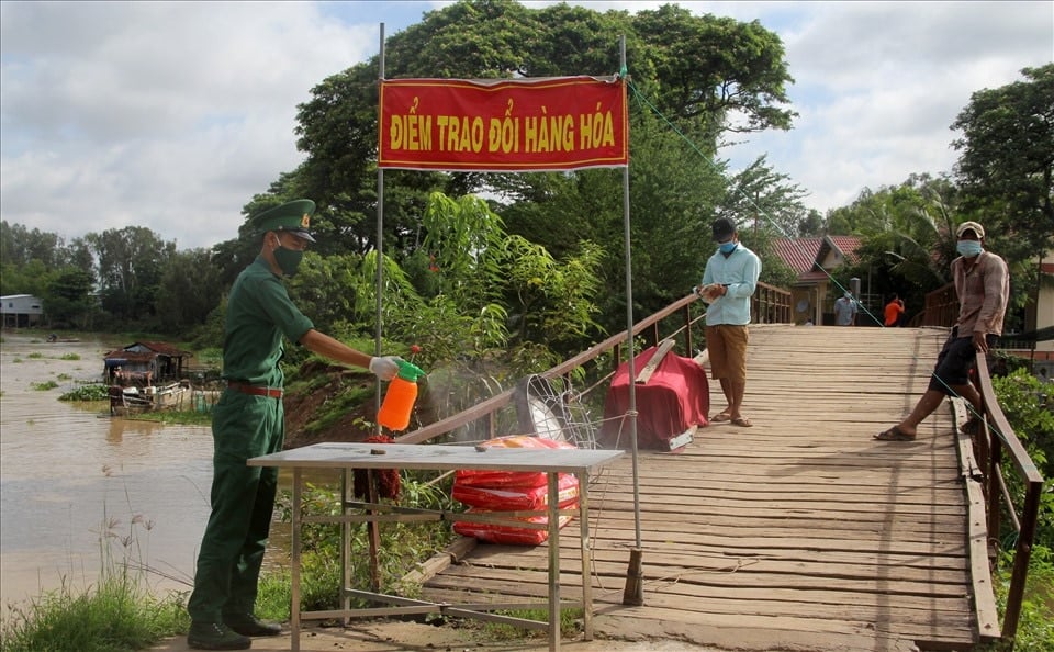
In the border area, Cambodian people cross into Vietnam every day to go to the market to buy vegetables, meat, fish... for their daily life.
The perpendicular coordinates of the border markers and characteristic points are calculated from the geographical coordinates of the corresponding border markers and characteristic points through the UTM projection (WGS-84), projection zone 6°, axial meridian 105° east longitude. The height of the border markers and border posts is the natural or artificial ground elevation at the location of the marker or border post, determined by subtracting the height of the marker or border post from the height of the marker or border post. Geographic coordinates of border markers, border posts and azimuths between adjacent border markers, double markers, triple markers of the same number used in the description are in degrees, minutes, seconds, with an accuracy of up to 3 decimal places (0.001”); elevation data, perpendicular coordinates and distances are in meters (m), with an accuracy of up to 2 decimal places (0.01m). The distance between double markers and triple markers; the distance from each double marker and triple marker to the border line and from each triple marker to the confluence or bifurcation point between border rivers and streams and inland rivers and streams of the two countries are measured in the field, with an accuracy of up to 0.01m. The measurement of coordinates and heights of border markers and characteristic points in the field is carried out as in the measurement of border markers. Border rivers and streams described in this Protocol are divided into navigable rivers and streams and non-navigable rivers and streams. For navigable border rivers and streams, the border line follows the median line of the channel or the median line of the main channel; for non-navigable border rivers and streams, the border line follows the median line of the stream or the median line of the main stream. If new sandbars appear on border rivers and streams, they will be assigned according to the demarcated border line. If new sandbars appear on the demarcated border line, the two sides will discuss and determine their assignment on the basis of fairness and reasonableness.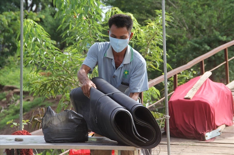
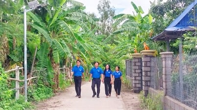
According to Senior Lieutenant Phan Duc Anh, in addition to checking, monitoring, and disinfecting at the goods exchange location, officers and soldiers also organize 24/7 mobile patrols and controls to prevent border crossings and combat trade fraud.
When the border line coincides with a river, stream, a single-line linear object or a two-line river or stream but has a width of less than or equal to 0.6 mm on the map, it is shown by drawing alternately on both sides of that object. The length of the alternate segment is from 2 - 3 cm on the map. In case the border line follows the median line of the flow, or the median line of the main flow of the border river or stream with a width greater than 0.6 mm on the map, or the median line of the channel, or the median line of the main channel on the border river or stream where ships can navigate, the border line is drawn coincident with the median line of the flow, or the median line of the main flow, or the median line of the channel, or the median line of the main channel of that border river or stream. In order to clearly and accurately show the location of border markers for border sections with too many border markers, the two sides agree to create an extraction diagram placed at a suitable location in each piece of this Map Set to show the location of border markers and related border sections. The direction of the border line and the location of border markers are described continuously in the direction and number from North to South, from marker to marker in turn according to each border segment connecting marker to marker, regardless of main or secondary marker; in case the border segment is not in a straight line, the direction of the border line is described according to the "general direction"; in case the border segment is in a straight line, the direction of the border line is described directly according to the direction of that border segment. In each border segment, when describing the change in terrain characteristics that the border line passes through or the clear change in direction of the border line, the words "then" and "after that" are used alternately. When describing the border line, it is necessary to describe the border markers. Information on main and secondary markers must be described in detail, fully and accurately, about the shape, type of markers and geographical location of mountain peaks, ridges, saddles, river banks, streams, etc., the geographical coordinates and height of that marker are measured in the field with a 2-frequency GPS device; Marker posts describe geographical coordinates and elevation; for feature points, only geographical coordinates are described. Coordinates and elevation of border marker positions are measured in the field; Terrain elements, landmarks, place names, and features directly related to the border or border markers (such as elevation points, mountain peaks, ridges, ridges, border turning points, and places where the border changes from one type of terrain to another) must be shown in the description. The border line following the ridge, through the mountain peaks or through elevation points must be described in detail, continuously through the mountain peaks and elevation points, ridges, and ridges. The border line following rivers and streams must specifically and accurately describe the direction of the border line, upstream or downstream, along the median line of the stream or the main median line of the stream. In the case of a border section following a straight line, the geographical coordinates measured on the field of the starting point and the end point of that straight border section must be described. The distance between any two points mentioned in this Protocol is a flat distance. When the border line between two adjacent border markers is a straight line, the length of the border line calculated according to the perpendicular plane coordinates of adjacent border markers; the length of border segments between two other adjacent markers is measured on the border map, the distance taken to 0.001km.Kim Oanh
![[Photo] Festival of accompanying young workers in 2025](https://vphoto.vietnam.vn/thumb/1200x675/vietnam/resource/IMAGE/2025/5/25/7bae0f5204ca48ae833ab14d7290dbc3)
![[Photo] The coffin of former President Tran Duc Luong arrives in Quang Ngai](https://vphoto.vietnam.vn/thumb/1200x675/vietnam/resource/IMAGE/2025/5/25/1f1aca0d92ab47deae07934e749b35e6)

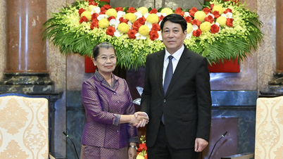
![[Photo] President Luong Cuong receives Lao Vice President Pany Yathotou](https://vphoto.vietnam.vn/thumb/1200x675/vietnam/resource/IMAGE/2025/5/25/958c0c66375f48269e277c8e1e7f1545)


Comment (0)