
TPO - Planning to 2035 and vision to 2050, Nhon Trach new city, Dong Nai province will develop riverside ecological urban areas.
According to the planning until 2035 and vision to 2050, Nhon Trach district (Dong Nai) is planned to become a type II urban area of Dong Nai province and a satellite city of Ho Chi Minh City to exploit and promote socio -economic potential, promote urbanization and economic growth.
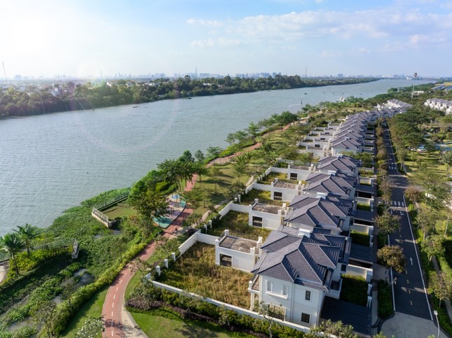 |
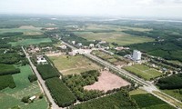
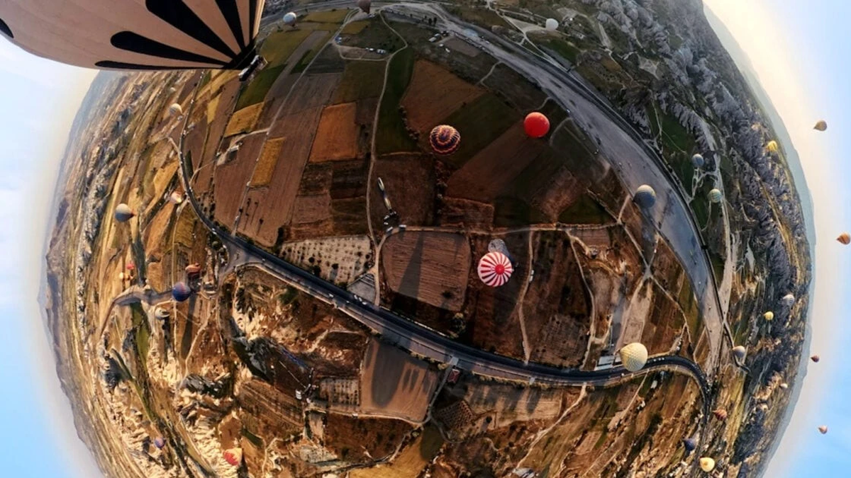
An ecological urban project along the river in Dai Phuoc island, Nhon Trach district |
Nhon Trach urban area is divided into 8 development areas, including the urban center; urban belt; urban strip along Dong Nai river; existing residential area; industrial park. ecological strip along Nha Be river and Long Tau river, industrial park - logistics service - port; mangrove forest conservation area.
 |
Nhon Trach Bridge across Dong Nai River connecting Nhon Trach District with Thu Duc City (HCMC) will create momentum for the development of the new city of Nhon Trach. |
Nhon Trach New Urban Area has a scale of 41,078 hectares, including the entire administrative boundary of Nhon Trach district including 12 administrative units. The North borders Long Thanh district (Dong Nai) and Dong Nai river, across the river is Cat Lai area, 6 communes island of District 2 and District 9 - Ho Chi Minh City. The East borders Long Thanh district and part of My Xuan area, Ba Ria Vung Tau province (across Thi Vai river). The West borders Nha Be district - Ho Chi Minh City (across Nha Be river). The South borders Can Gio district - Ho Chi Minh City (across Dong Tranh river).
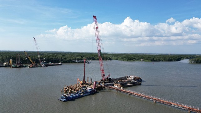 |
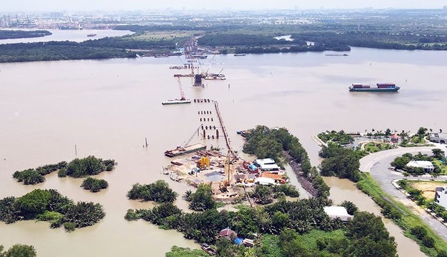
Phuoc An Bridge across Thi Vai River connecting Nhon Trach district with Phu My town (Ba Ria - Vung Tau) is under construction. When completed in 2026, it will form a regional traffic system. |
According to the leader of Nhon Trach district, the new planning of Nhon Trach district is still based on the inheritance of the research of the 2006 master plan approved by the Prime Minister and the plans in previous stages, with appropriate adjustments to meet the requirements of reality. Developing the new urban area of Nhon Trach harmonizes industry and services, builds urban infrastructure, between urban and rural areas and develops high-quality riverside urban areas.
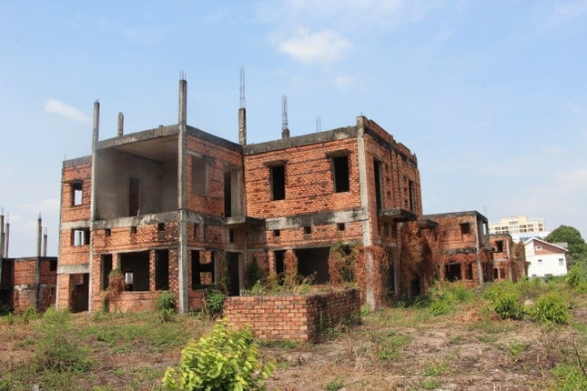 |
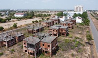
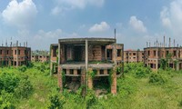
A "ghost town" area currently exists in Nhon Trach district. |
Nhon Trach urban space is developed according to the concentrated urban model, developing high density from the urban core and spreading and gradually reducing density to the border areas, the spatial layers are developed into strips surrounding the core urban area. The functional areas have a spatial organization suitable to the nature of each area.
In which: the central areas are arranged in convenient traffic locations, are the convergence point of space flows, conveniently connected to other urban functional areas, exploiting natural landscape elements and conveniently contributing to the general landscape architecture space of the entire urban area (regional centers are arranged at external traffic hubs, new urban centers develop on the main urban axes (25B, 25C, Q2-HCMC road, road number 1, road number 7, road 319,...).
New urban areas are developed according to the principle of spreading from the central urban area and existing areas. Eco-tourism areas are developed on the outskirts of the city, connected with green spaces, water surfaces along rivers and streams and natural drainage areas. Functional spaces must meet the typical activities of a green city with high-quality urban amenities.
Source


Comment (0)