
The complicated situation of high tides, with increasingly high peak tides, combined with the impact of climate change, is making the subsidence of the land surface of Ho Chi Minh City very worrying.
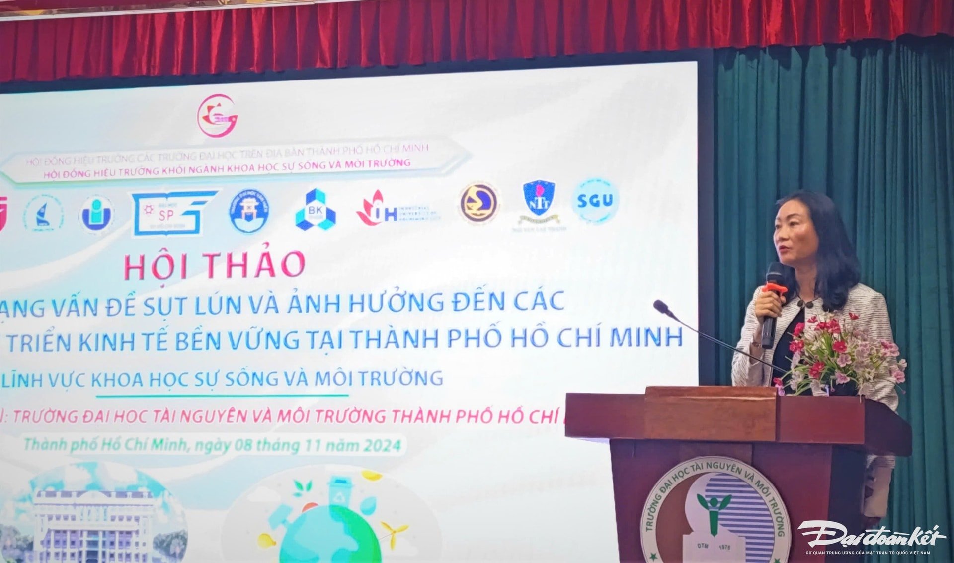
The information was given at the Workshop with the theme "The current situation of land subsidence and its impact on sustainable economic activities in Ho Chi Minh City" on the morning of November 8.
Speaking at the workshop, Ms. Nguyen Thi Thanh My - Deputy Director of the Department of Natural Resources and Environment of Ho Chi Minh City said that the current great need of Ho Chi Minh City is to have tools to promptly forecast and detect land subsidence early. From there, minimize the risks of this situation, which is quite complicated.
Not only the subsidence situation, currently Ho Chi Minh City is also implementing many solutions to prevent flooding due to high tides and heavy rains. However, Ms. My also expressed concern that when many new residential areas are built, it will have an impact and affect the surrounding residential areas. In particular, houses built later tend to be higher than those built earlier, which will also make the risk of subsidence more unpredictable and complicated. "Therefore, Ho Chi Minh City really needs to consult on solutions to solve the subsidence situation and hopes to receive many experts and scientists' comments and suggestions to help the city," Ms. My emphasized.
According to Master Nguyen Thanh Nhuan - Department of Natural Resources and Environment of Ho Chi Minh City, the subsidence in Ho Chi Minh City has been continuous since 1990 until now, with a cumulative subsidence rate of about 100cm. On average, the current subsidence rate is about 2-5cm per year. Particularly in concentrated areas such as commercial buildings, the subsidence rate is about 7-8cm per year.
Survey and monitoring results recorded subsidence of over 10cm within 10 years (2005 - 2015) in Binh Chanh district, southern Binh Tan district, district 8, western district 7, northwest district 2 (old), eastern district 12, southwest Thu Duc district (old), northwest Nha Be district, with a total area of 239km2.
The sinking rate at the Binh Tan District Sports and Cultural Center is 73.3cm/10 years; at Tan Tao Industrial Park is 73.2cm/10 years and at Binh Chanh Medical Center is 44cm/10 years.
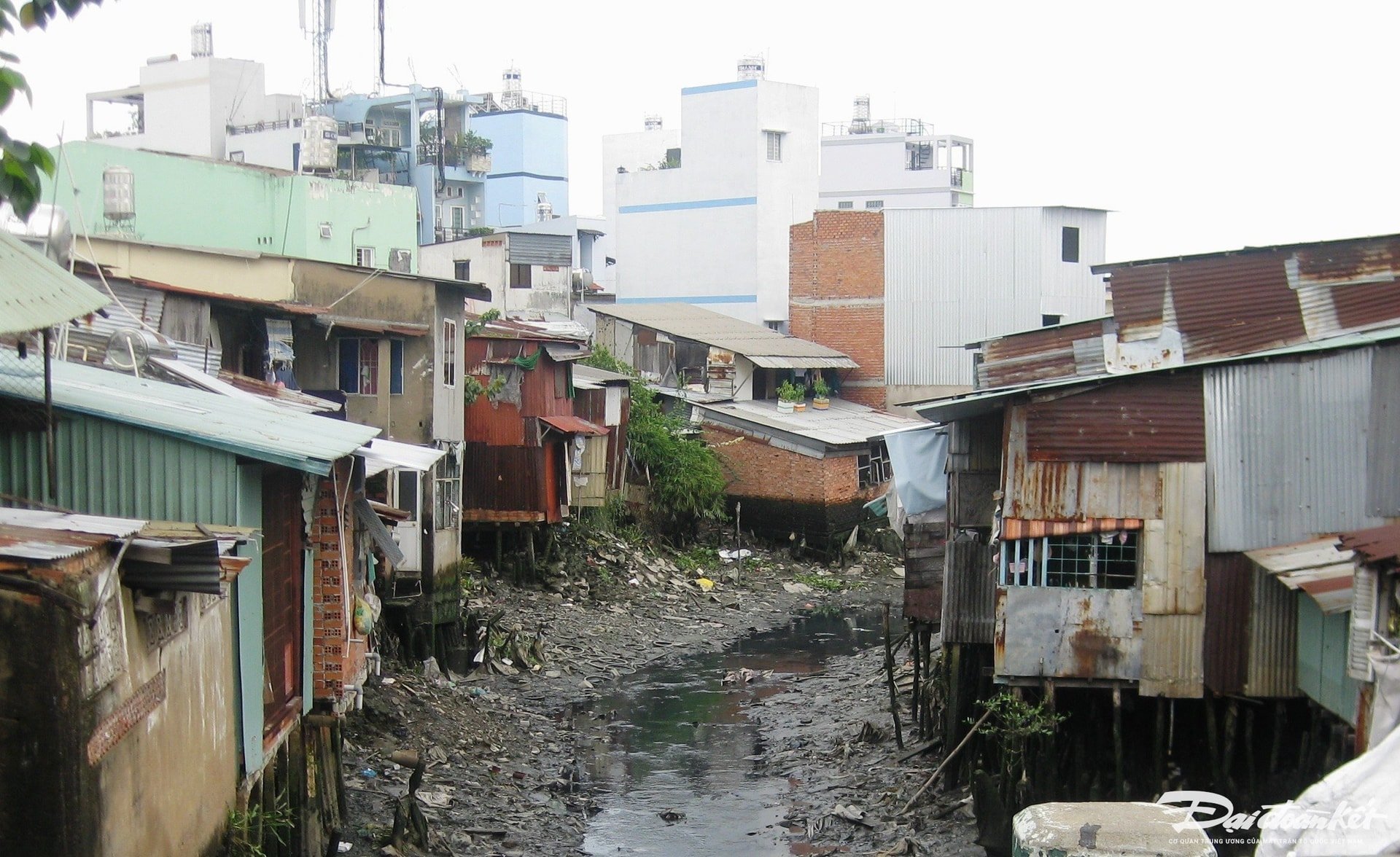
The rate of land subsidence in Ho Chi Minh City is about twice as high as sea level rise. Furthermore, land subsidence combined with high tides and rising sea levels increases the risk of Ho Chi Minh City gradually "sinking" and directly affects the long-term development of the city.
Regarding the causes of subsidence in Ho Chi Minh City, Master Nguyen Thanh Nhuan said that the geological foundation in the area has areas with a subsidence rate of over 10 mm/year, which are places with weak geological foundations, playing a very important role in deforming the ground (subsidence). Next, the impact of traffic activities, including places with high traffic frequency and heavy loads.
According to the representative of the Department of Natural Resources and Environment of Ho Chi Minh City, the impact of civil works (houses, apartments, high-rise buildings, etc.) causing subsidence is only temporary and the surface will stabilize, not subside or subside very little, evenly over time. However, the impact of groundwater exploitation is also the cause of subsidence. Currently, the city has limited the maximum and the permitted groundwater exploitation capacity is low, controlled, and limited to the maximum to not cause a decrease in groundwater levels.
Since 2019, Ho Chi Minh City has implemented the project "Re-determining the elevation of the subsidence marker system in Ho Chi Minh City", based on 23 grade II markers provided by the Ministry of Natural Resources and Environment to restore and re-determine new elevation values into the existing grade IV marker system of the city (about 800 old elevation markers).
Also according to the representative of the Department of Natural Resources and Environment of Ho Chi Minh City, from 2022, Ho Chi Minh City will start building 4 century height markers, expected to be completed in 2025. The markers will be located at the Software Technology Park campus; the People's Committee campus of Nhuan Duc commune, Cu Chi district; the Lang Le Cultural Area campus in Le Minh Xuan commune, Binh Chanh district and the Children's House of Can Gio district.
The construction of century-old elevation markers (drilled and buried deep to stable geological layers) will help ensure long-term service for planning, construction, and socio-economic development of Ho Chi Minh City, especially in response to climate change, high tides, and land subsidence, which are becoming increasingly complex in the area.
Source: https://daidoanket.vn/tphcm-dang-chiu-toc-do-sut-lun-2-5cm-moi-nam-10294062.html


Comment (0)