
Many applications
Shanghai (China) has applied GIS in developing a 3D geospatial model of the entire city. 3D GIS represents reality in a virtual environment with geographic coordinates, and can even model both indoor and underground spaces, helping with urban planning, city appearance management, and cultural relic preservation...
 use flycam to collect data at the National Historical and Cultural Park.")
Many countries have applied GIS to retail supply chain management, helping suppliers, agents, and points of sale know when vegetables, tubers, and fruits leave the field, the transportation route, quality, and delivery time. This technology also helps determine the best location to build infrastructure such as shopping centers, residential areas, schools, hospitals, etc. GIS technology even helps health organizations analyze trends, areas with sick people, and the risk of disease spreading.
In Vietnam, GIS has been deployed in many localities. Binh Duong province has previously deployed the project "Building a geographic information system and specialized software for construction" (http://gisxd.binhduong.gov.vn), helping people, agencies and businesses access information on architecture - planning, technical infrastructure and urban development.
Bac Ninh province focuses on building a shared database and an integrated management information system on the GIS platform, applied in the fields of industry and trade, transportation, education and training, planning, construction... Many systems were even deployed very early, such as the Dong Nai Technology and Environment Status Information System (DONAGIS), the Geographic Information System of the former Ben Tre province (BETEGIS) or the former Quang Nam province (QANAGIS) to serve agricultural management.
Towards building smart cities
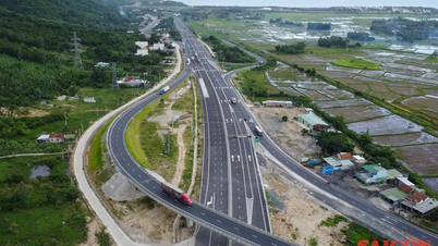
In Ho Chi Minh City, GIS is widely applied as a technology platform serving social life. The Center for Geographic Information System Applications (HCMGIS) under the Department of Science and Technology of Ho Chi Minh City has built a digital transformation platform at ward and commune levels - a data management and operation system designed as WebGIS with the ability to connect, synchronize and share web service data.

The system has a user-friendly interface design, supports convenient display on mobile devices and high customization in statistics, reports..., and has been piloted in some wards of Ho Chi Minh City. Mr. Pham Duc Thinh, Deputy Director of HCMGIS, said: "The database has the ability to store and manage on the city's shared server system. The system is designed to be open, upgradeable and expandable; easy to transfer and widely applied in localities in state management work".
In addition, the city has deployed a shared digital map service, providing a diverse collection of base maps, including administrative, traffic, topographic, satellite, and 3D building maps. Users can easily access and explore information on addresses, traffic, education, health, environment, administration, etc. in the city. Data is regularly updated from official information sources, integrated from previous departments, branches, districts, and counties.
Most recently, HCMGIS has applied GIS technology in land management and management of works in the National Historical and Cultural Park (HCMC). This is an important step in applying geographic information systems to the management of cultural heritage, land and infrastructure, meeting the practical needs of the city in the process of modernizing urban management. HCMGIS has successfully built a database of 20 information layers, covering from works, traffic, trees to intangible cultural elements such as festivals and folk arts.
GIS is a specialized computer tool for collecting, managing, storing, analyzing geospatial data and visualizing them on maps to support decision-making and strategic planning in various fields such as urban planning, environment and transportation.
This is the first time that all the rich data of the park has been digitized, integrated and centrally managed. The GIS software system has been developed with 13 functional groups, outstanding in its ability to manage land, constructions, promote tourism through digital maps and especially 3D/360-degree modeling to recreate typical constructions. This feature not only helps visualize data but also opens up great potential in developing smart tourism.
The system is also designed to integrate with the shared GIS data warehouse of Ho Chi Minh City, contributing to the goal of building a smart city, while promoting Vietnamese cultural heritage to the world. “Over the past years, the Department of Science and Technology of Ho Chi Minh City has built the HCMGIS Portal to provide an integrated platform for sharing geospatial data, documents and maps in HCMGIS, and has developed many applications to serve social life. It is expected that in the coming time, GIS technology will be applied more and more, contributing to the construction of a smart city,” said Mr. Pham Quoc Phuong, Director of HCMGIS.
Source: https://www.sggp.org.vn/ung-dung-cong-nghe-gis-hien-dai-hoa-quan-ly-do-thi-post815857.html


Comment (0)