
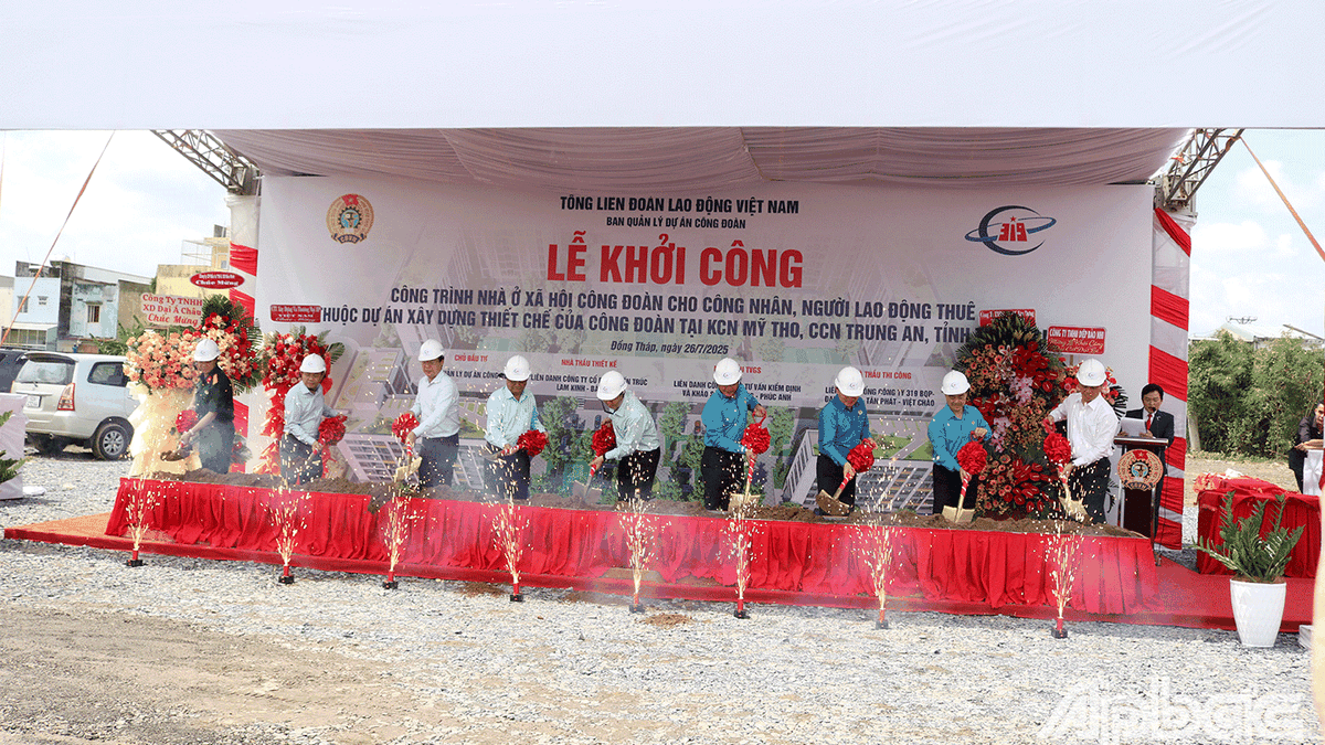
.jpg)
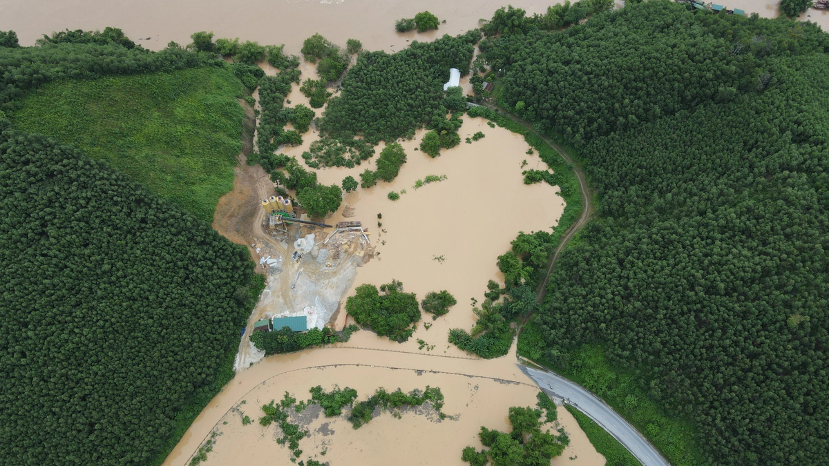
Previously, on July 22, the Van Uc River rose in the commune, causing flooding on the Khue Bridge approach road and landslides on the left bank of the Van Uc River at location K25+00 (about 100m from Cao Mat culvert).
Specifically, at around 1:30 p.m. on July 22, the water level of the Van Uc River suddenly rose and flooded the area inside the dike (due to the low access road to Khue Bridge), the water level rose about 60-70 cm above the access road to Khue Bridge, the locality had to organize earthworks to block the rising water. This was a phenomenon occurring at the same time as storm No. 3 combined with high tides and high floods on the river. At 5:20 p.m. on the same day, at the left dike of Van Uc River at position K 25+00 (about 100 m from Cao Mat sluice), there was a landslide along the dike about 5 m. The Commune's Disaster Prevention and Search and Rescue Command coordinated with the Nam Lach Tray Dike Management Department to concentrate forces, materials and means such as: cars, excavators, sandbags, stakes and bamboo fences... to reinforce the dike length of about 15 m, 3 m wide, 3 m high.
On the morning of July 23, forces completed reinforcement to prevent landslides at the foot of the dike, ensuring the safety of the dike on the left side of the Van Uc River.
LAKE FRAGRANCESource: https://baohaiphongplus.vn/xa-an-hung-kip-thoi-chong-sat-truot-chan-de-ta-song-van-uc-417082.html


![[Photo] Signing of cooperation between ministries, branches and localities of Vietnam and Senegal](https://vphoto.vietnam.vn/thumb/1200x675/vietnam/resource/IMAGE/2025/7/24/6147c654b0ae4f2793188e982e272651)


Comment (0)