

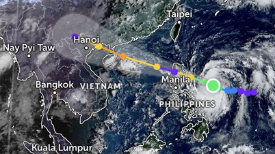
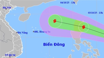
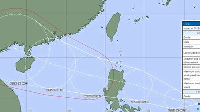
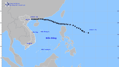
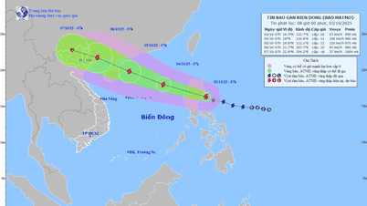
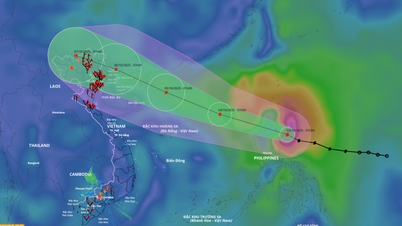
This morning, the center of the tropical depression is located in the sea east of the Philippines, at about 14.7 degrees North latitude and 128.5 degrees East longitude, with the strongest wind at level 6-7 (39-61 km/h), gusting to level 9. The tropical depression is moving in a West Northwest direction at a fast speed of about 20 km/h.
It is forecasted that from today to tomorrow morning, the tropical depression will move into the eastern area of Luzon Island (Philippines), possibly strengthening into a storm with winds of level 8, gusts of level 10. By the morning of July 19, the storm may be in the northeastern area of the East Sea with winds of level 10, gusts of level 12.
In the next 2-3 days, the storm will continue to move in the West-Northwest direction, traveling 15-20km per hour and may continue to strengthen when entering the East Sea.
On land, the weather is clearly differentiated. In the North this morning, the sky is clear, the sun rises early, the temperature increases quickly, hot and stuffy. In the Central region, the effect of the hot and dry foehn wind continues, many places are hot and sunny from the beginning of the day.
In contrast, in the South, thunderstorms appeared early in the morning, with light showers in some places. This afternoon and evening, thunderstorms are forecast to occur over a wide area, with moderate to heavy rain in some places, accompanied by whirlwinds, lightning and strong gusts of wind.
Source: https://www.sggp.org.vn/ap-thap-nhiet-doi-co-the-manh-len-thanh-bao-khi-vao-bien-dong-nam-bo-mua-dong-dien-rong-post804074.html
![[Photo] Binh Trieu 1 Bridge has been completed, raised by 1.1m, and will open to traffic at the end of November.](https://vphoto.vietnam.vn/thumb/1200x675/vietnam/resource/IMAGE/2025/10/2/a6549e2a3b5848a1ba76a1ded6141fae)


Comment (0)