
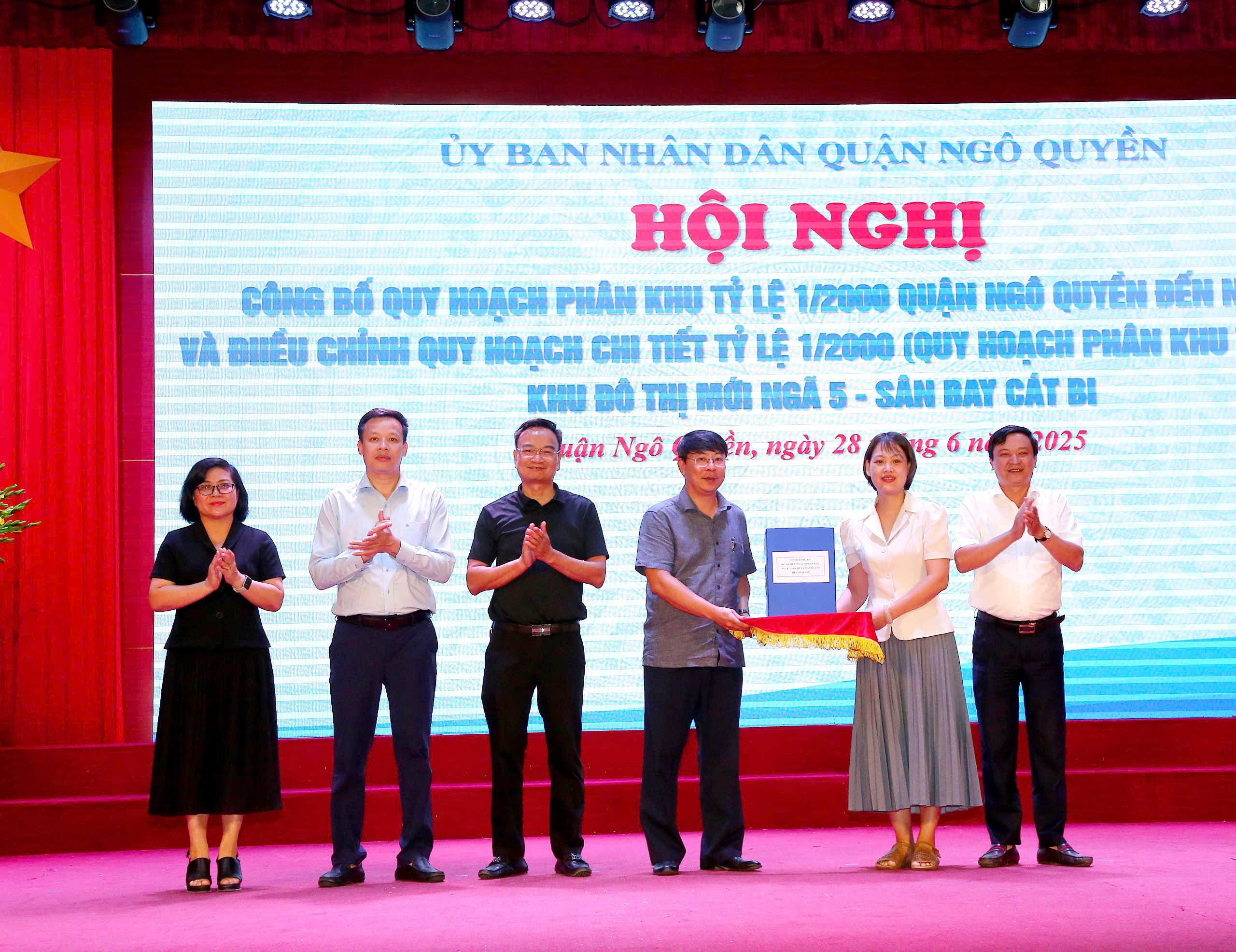
The 1/2000 scale zoning plan of Ngo Quyen district to 2040 includes the entire administrative boundary of the district, with an area of about 1,200 hectares. The planning boundary: the East borders Hai An district; the West borders Hong Bang and Le Chan districts; the South borders Duong Kinh district (the boundary is Lach Tray river); the North borders Thuy Nguyen city (the boundary is Cam river).
The project aims to concretize the General Planning of Hai Phong City to 2040, with a vision to 2050 (Plan 323); serving urban management, land exploitation and use according to the plan.
Ngo Quyen District is oriented to develop as a historical inner-city area, playing the role of an economic , cultural, scientific and technical center of the city; a commercial, service and tourism center in the Northern coastal region. The planning also focuses on connecting historical values with contemporary urban areas, preserving the cultural values of port urban areas, promoting the role of the core and the hub of waterway traffic along the Cam River, and urban railway traffic.
The project aims to build a modern, synchronous technical and social infrastructure system, in line with the socio-economic development orientation of the district in the coming period.
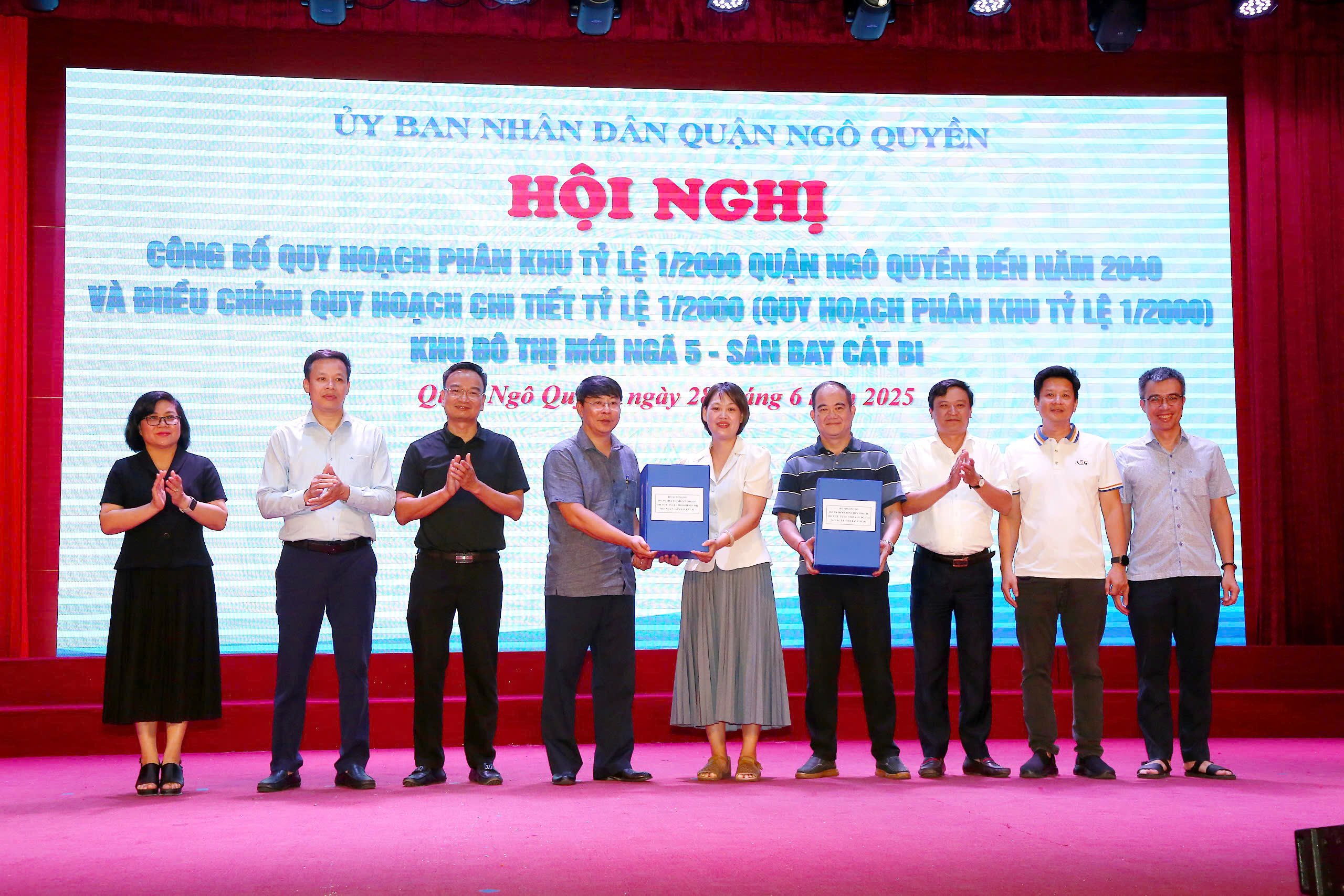
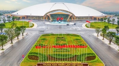
Hai Phong City People's Committee has approved the detailed planning adjustment project at a scale of 1/2000 (zoning plan at a scale of 1/2000) of the new urban area Nga 5 - Cat Bi Airport, located in Ngo Quyen and Hai An districts. According to the decision, the planning area is 304.9 hectares, with an estimated population of about 74,385 people.
The planned area is an urban area and a comprehensive service center, including the following functions: commercial center, hotel, office, agency headquarters, cultural,educational , public works, housing, trees and technical infrastructure. At the same time, this is also an important traffic hub connecting to Cat Bi International Airport.
Regarding the adjustment content, the project updates local adjustments within the scope of the study that have been approved by competent authorities; adjusts the land use characteristics for some existing residential areas that have not been cleared, in the direction of retaining and renovating, separating from the New Urban Area project. In addition, the function and spatial organization of the land lots along the Lach Tray - Ho Dong road axis are also adjusted to suit the reduction of the road width from 100 m to 35 m. The planning of the high-rise floors of the land lots is open and flexible, creating conditions for modern and synchronous urban development./.
Source: https://haiphong.gov.vn/tin-tuc-su-kien/cong-bo-quy-hoach-phan-khu-quan-ngo-quyen-va-dieu-chinh-quy-hoach-khu-do-thi-moi-nga-5-san-bay-c-760266


![[Infographic] Circular guiding the functions, tasks and powers of the provincial Department of Culture, Sports and Tourism and the commune-level Department of Culture and Social Affairs](https://vphoto.vietnam.vn/thumb/402x226/vietnam/resource/IMAGE/2025/6/29/877f24989bb946358f33a80e4a4f4ef5)


Comment (0)