

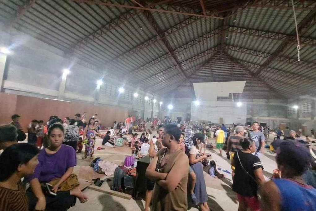
Residents were evacuated to safety after the earthquake and tsunami warning (Photo: Reuters).
According to the U.S. Geological Survey, a 7.6 magnitude earthquake struck the Mindanao island region in southern the Philippines at 10:37 PM on December 2nd. The epicenter was located at a depth of approximately 32 kilometers.
A few hours later, in the early morning of December 3rd, the area recorded two more strong aftershocks measuring 6.4 and 6.2 on the Richter scale.
The initial earthquake triggered a tsunami warning with waves reaching up to 3 meters. Local authorities advised residents in coastal areas to evacuate to higher ground. However, the warning was later lifted.
The Japan Meteorological Agency reported that they recorded waves as high as 40cm in the area of Hachijojima Island, about 290km south of Tokyo.
No casualties or significant damage have been reported in the Philippines following the earthquake and aftershocks. However, the police chief of Hinatuan town, located about 30km from the epicenter, said that approximately 44,000 residents have been without electricity since the earthquake struck.
Earthquakes are relatively common in the Philippines because the country lies on the "Ring of Fire," a volcanic belt surrounding the Pacific Ocean prone to seismic activity.
Source

![[Photo] Ba Lang An Lighthouse - the "eye of the sea" amidst the "rock museum" of Quang Ngai province.](https://vphoto.vietnam.vn/thumb/1200x675/vietnam/resource/IMAGE/2026/05/29/1780038698840_anh-man-hinh-2026-05-29-luc-14-10-42.png)

![[Image] Pleasant weather helps students enter the 10th grade entrance exam with confidence.](https://vphoto.vietnam.vn/thumb/1200x675/vietnam/resource/IMAGE/2026/05/29/1780034401612_ngay-1-thi-lop-10-minh-duy-8-5009-jpg.webp)






























































































Comment (0)