
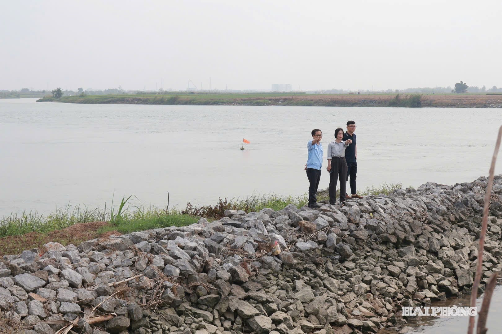
Prior to the 2026 rainy season, the Xa Son embankment area on the right bank of the Kinh Thay River, specifically the section passing through Nam An Phu commune, has been identified as one of the critical dike sections requiring special monitoring and protection.
During an inspection of the embankment at positions K20 and K22 of the Kinh Thầy River's right bank dike section passing through Nam An Phụ commune, authorities noted that a large portion of the embankment slope had shifted and collapsed over a length of approximately 80 meters, creating steep inclines. In many places, the paving stones had sunk to about one-third of the embankment slope, posing a potential safety risk during the rainy season.
The reason for this situation is that the embankment is located in a wide section of the river, directly affected by the strong current.
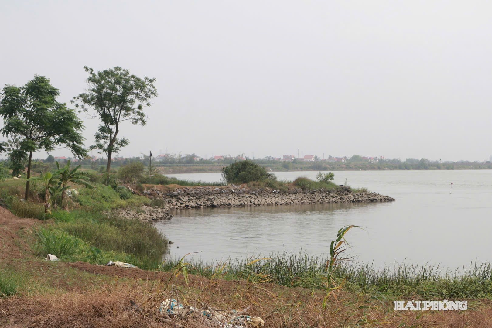
In addition, the high volume of ship traffic, coupled with frequent wave action, causes the embankment to continue to erode and be damaged.
In particular, surveys of the riverbed in the landslide area revealed that in some locations, the riverbed was only about 20 meters from the bank, yet the depth was already 5-7 meters. This indicates that the risk of further landslides will continue to worsen if timely solutions are not implemented.
To proactively ensure the safety of dike structures during this year's storm and flood season, the Kinh Mon Dike Management Unit has coordinated with Nam An Phu ward to develop a key protection plan for the Xa Son embankment area.
The plan was developed based on a thorough assessment of the structure's current state, clearly identifying risks and preparing specific response solutions according to the "four on-site" principle.
TRAN HIENSource: https://baohaiphong.vn/ke-xa-son-tren-de-song-kinh-thay-xung-yeu-542489.html


![[Photo] Reception to welcome General Secretary and President To Lam and his wife on their State visit to the Philippines](https://vphoto.vietnam.vn/thumb/1200x675/vietnam/resource/IMAGE/2026/06/01/1780295488620_vna-potal-chieu-dai-chao-mung-tong-bi-thu-chu-tich-nuoc-to-lam-va-phu-nhan-tham-cap-nha-nuoc-toi-philippines-8798060-7855-jpg.webp)


Comment (0)