

Step-by-step digitization of land records.
Over the years, Lang Son province has implemented numerous projects for cadastral mapping, cadastral record keeping, and land database construction throughout the province. The land sector data system has been gradually improved through projects for surveying forest land, building cadastral records in districts, and the VILG land management enhancement project.
According to a report by the People's Committee of Lang Son province, the province currently has a natural area of over 830,732 hectares with approximately 3.32 million land parcels. To date, 100% of communes and wards have been surveyed and mapped at various scales, with the area surveyed and mapped at a scale of 1/10,000 reaching over 551,416 hectares.
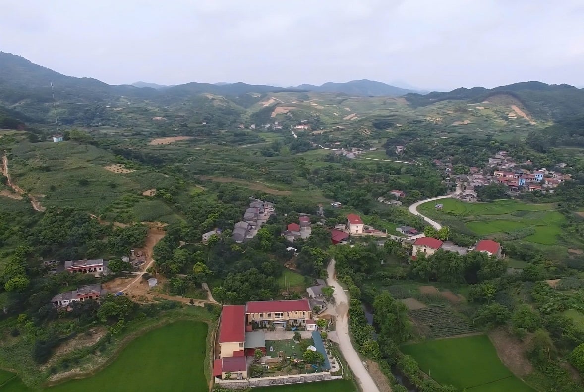
In Lang Son province, there are still more than 571,000 land parcels for which land data has not been compiled. Photo: Hoang Nghia.
The entire province has built a land database for more than 2.74 million land parcels, reaching 82.8% of the total number of parcels in the area. This result places Lang Son among the localities with a high rate of land database construction nationwide.
Alongside land surveying, land registration and the issuance of land use right certificates have also been accelerated. The entire province has issued certificates for over 1.84 million land parcels, creating an important foundation for the formation of a data system to serve state management in the digital environment.
Currently, the province's land database system is connected to the national land database and integrated with the tax system and online public services. 100% of administrative procedures under the authority of the Land Registration Office system are now available on the province's online public service system.
Data digitization makes it easier for management agencies to update and revise information, while also shortening the processing time for applications from citizens and businesses. Much land information is now accessible online, reducing the need for manual searches as in the past.
There is still a large amount of data that needs to be completed.
Despite achieving many positive results, the process of building a land database in Lang Son still faces numerous difficulties. According to statistics, out of more than 2.74 million land parcels for which databases have been built, only about 870,943 parcels meet the standards of "accurate, complete, clean, and active" data, accounting for 31.7% of the total number of parcels for which databases have been built.
Currently, there are still over 1.87 million land parcels that require further information completion and supplementation, including over 1.06 million parcels needing initial land registration and certificate issuance, and over 816,000 parcels requiring information adjustments and updates. In addition, the entire province still has over 571,000 land parcels for which no land database has been established.
One of the major challenges today is that many cadastral maps were created before 2000 using manual methods and outdated coordinate systems, resulting in low accuracy. Forest land areas are primarily surveyed using delineation and topographic image interpretation, leading to errors and land disputes in some areas.

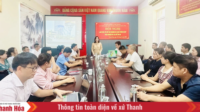
Training courses on improving the land database are being actively implemented by the Lang Son Provincial Land Registration Office for commune-level officials, contributing to accelerating the progress of data digitization in the area. Photo: Hoang Nghia.
Furthermore, land data has been compiled over multiple stages and from various projects, resulting in a lack of synchronization. Some areas have not been fully updated to reflect changes related to land clearance, land acquisition, or urbanization.
According to the People's Committee of Lang Son province, the major difficulty currently is the enormous volume of data that needs to be updated, while many records were created at different stages and therefore are not yet synchronized. In particular, after the administrative unit reorganization process, much information regarding place names, land parcel addresses, and cadastral maps must be updated to reflect current management realities.
Towards data that is "accurate, complete, clean, and active".
To achieve the goal of building a synchronized land database by 2026, the People's Committee of Lang Son province has issued numerous plans, established a Steering Committee and a working group at the provincial level, and simultaneously implemented the plan across all 65 communes and wards in the province.
According to the plan, in 2026 the province will focus on completing data for more than 1.87 million land parcels that do not yet meet the standards of "correct, complete, clean, and viable". Of these, the relevant departments will prioritize correcting and updating data for more than 816,000 parcels that have already been granted land use rights certificates, while also accelerating land registration and issuing initial certificates for the remaining more than 1.06 million parcels.
The province also aims to eliminate all areas without land data by the end of 2026. Communes and wards will strengthen communication and guidance to help people declare and register land to facilitate data updates.
According to Nguyen Huu Chien, Director of the Department of Agriculture and Environment of Lang Son province, in the coming time, the province will continue to focus on supplementing and completing land data that has been built over the years; building new data in areas where it is not yet complete, and at the same time improving the efficiency of management, operation and exploitation of the system after it is put into use.
In addition, two public investment projects were implemented concerning the revision and re-measurement of cadastral maps, the issuance of land use right certificates, and the construction of a land database in the area.
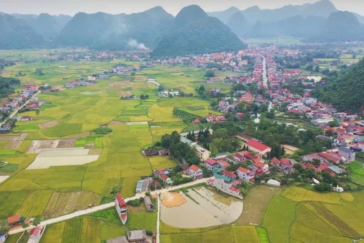
The completion of the land database is contributing to improved land management efficiency and serving digital transformation in Lang Son. Photo: Dinh Muoi.
According to Mr. Chien, the Department has requested the People's Committees of communes and wards to urgently develop implementation plans, review progress according to the provincial timelines, and allocate resources, funding, and personnel to participate in the implementation.
The Department also requested the Provincial Land Registration Office to finalize the budget estimate, organize training for officials directly involved in the implementation; establish a hotline to support localities, contributing to accelerating the progress of land surveying, cadastral record keeping and completion of the national land database.
Source: https://nongnghiepmoitruong.vn/lang-son-tang-toc-hoan-thien-co-so-du-lieu-dat-dai-d813042.html


![[Photo] The heat at the fireworks display site on the opening night of the Da Nang International Fireworks Festival 2026](https://vphoto.vietnam.vn/thumb/1200x675/vietnam/resource/IMAGE/2026/05/27/1779889741485_ndo_br_z7872039145157-fecaba5112f39e8352544099d7ef4738-5140-jpg.webp)

![[Photo] The courage of new recruits of Brigade 144 on the training ground.](https://vphoto.vietnam.vn/thumb/1200x675/vietnam/resource/IMAGE/2026/05/27/1779881651341_anh-man-hinh-2026-05-27-luc-18-32-52.png)































































![[Photo] The courage of new recruits of Brigade 144 on the training ground.](https://vphoto.vietnam.vn/thumb/402x226/vietnam/resource/IMAGE/2026/05/27/1779881651341_anh-man-hinh-2026-05-27-luc-18-32-52.png)




























Comment (0)