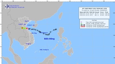
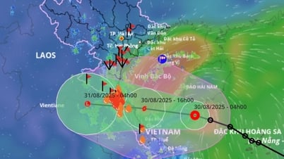
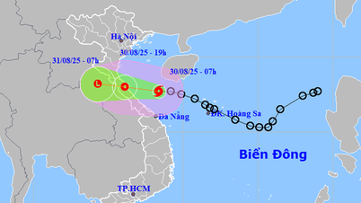
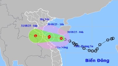
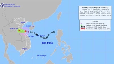
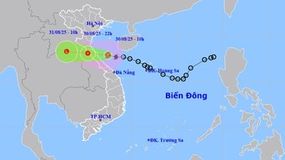
According to forecast information from the Nghe An Province Hydrometeorological Station, at 4:00 a.m. on August 30, the center of the tropical depression was located at about 17.7 degrees North latitude; 109.2 degrees East longitude in the sea northwest of Hoang Sa special zone, about 290km east southeast of the northern Quang Tri area. The strongest wind near the center of the tropical depression is level 7 (50-61km/h), gusting to level 9, moving northwest at a speed of 20km/h, with the potential to strengthen into a storm.
Due to the impact of the storm, it is forecasted that the sea area of Nghe An province (including Hon Ngu island) will have heavy rain and thunderstorms; winds will gradually increase to level 6-7, near the center of the storm will be strong at level 8, gusting to level 10; waves will be 2.0-5.0m high, and the sea will be rough.
To ensure the safety of fishermen and boats, on the morning of August 30, in Official Dispatch No. 32/CD-UBND, the Chairman of the Provincial People's Committee - Head of the Provincial Civil Defense Command requested the Chairman of the People's Committee - Head of the Civil Defense Command of coastal communes and wards; the Border Guard Command/Provincial Military Command; the Head of the Department of Fisheries and Fisheries Control and Heads of relevant units to urgently implement the following contents:
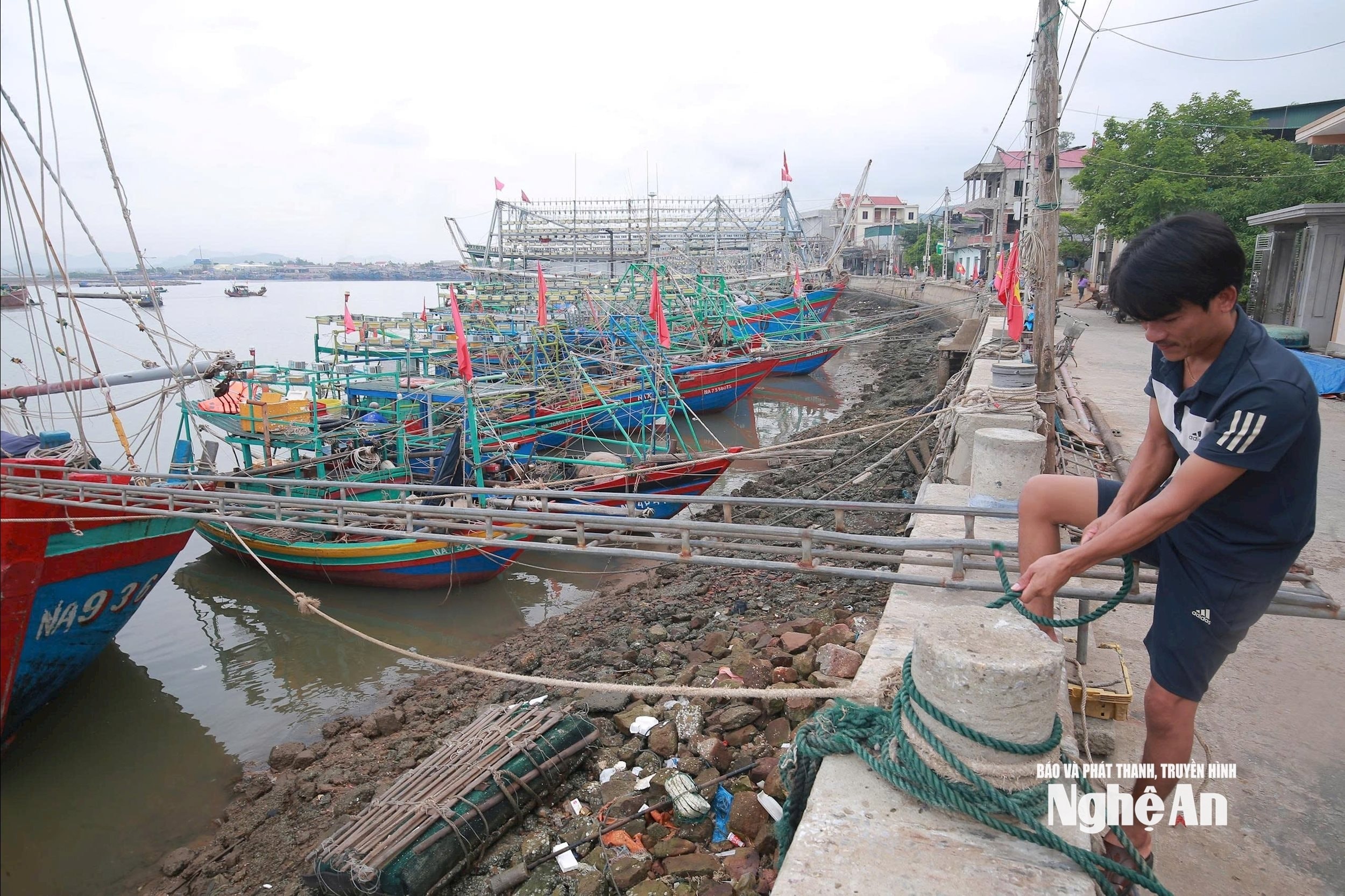
All ships and means of transport are prohibited from going to sea from 10:00 a.m. on August 30, 2025. Ships operating at sea must return to shore and anchor to ensure safety before 3:00 p.m. on August 30, 2025.
Use all means and measures to inform ships at sea about the storm's developments, guide and call on ships to return to safe shelters or escape from dangerous areas. Provide guidance on anchoring ships at shelters (including tourist ships and transport ships); organize the relocation and anchoring of aquaculture cages and floating houses to ensure safety.
Source: https://baonghean.vn/nghe-an-cam-bien-tu-15-gio-ngay-30-8-10305537.html


![[Photo] People eagerly lined up to receive special publications of Nhan Dan Newspaper](https://vphoto.vietnam.vn/thumb/1200x675/vietnam/resource/IMAGE/2025/8/30/53437c4c70834dacab351b96e943ec5c)






























Comment (0)