

 |
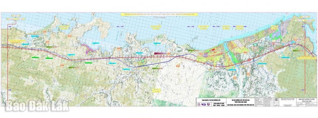
| Route map of the North-South high-speed railway project in Dak Lak province. |
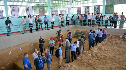
According to the latest statistics from the Department of Construction, it is estimated that about 4,380 households, organizations, and land plots will be affected by site clearance.
In addition, the Provincial Land Fund Development Center is also continuing to contact and coordinate with the Branch of the Land Office in the area where the project passes through to prepare for the measurement and extraction of land plots to be recovered, serving the preparation of compensation, support and resettlement plans. This work will be implemented immediately after the investor hands over the site clearance markers in the field.
According to the project documents, the total length of the route through the province is about 96 km; passing through 13 communes and wards: Xuan Loc, Xuan Canh, Xuan Tho, Xuan Dai, Tuy An Bac, Tuy An Dong, O Loan, Tuy An Nam, Binh Kien, Tuy Hoa, Phu Yen , Dong Hoa and Hoa Xuan.
The total land use demand of the project section through the province is about 807.5 ha. Of which, rural residential land is about 95.82 ha; rice land is about 159.82 ha; land for other annual crops is about 95.16 ha; land for other perennial crops is about 19.44 ha; production forest land is about 151.39 ha; protective forest land is about 285.88 ha.
Recently, the resettlement area serving the project in Binh Kien ward has broken ground for construction.
Ho Nhu
Source: https://baodaklak.vn/tin-moi/202508/tiep-tuc-bo-tri-cac-khu-tai-dinh-cu-phuc-vu-du-an-duong-sat-toc-do-cao-bac-nam-60102ce/


![[Photo] Images of the State-level preliminary rehearsal of the military parade at Ba Dinh Square](https://vphoto.vietnam.vn/thumb/1200x675/vietnam/resource/IMAGE/2025/8/27/807e4479c81f408ca16b916ba381b667)


![[Photo] Parade blocks pass through Hang Khay-Trang Tien during the preliminary rehearsal](https://vphoto.vietnam.vn/thumb/1200x675/vietnam/resource/IMAGE/2025/8/27/456962fff72d40269327ac1d01426969)


Comment (0)