

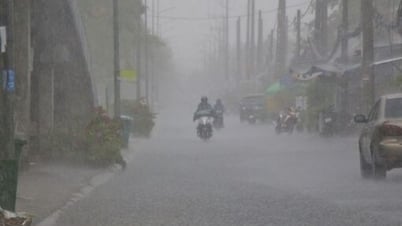
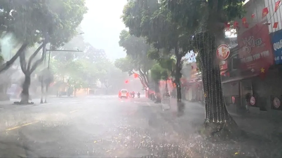
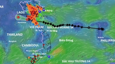
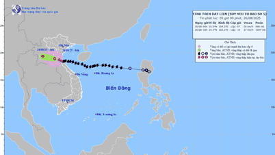
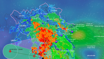
According to the news from the Dak Lak Province Hydrometeorological Station, on the morning of August 27, the low pressure area in the eastern sea of the North East Sea strengthened into a tropical depression.
The tropical depression is moving west-southwest at a speed of 10-15 km/h. It is forecasted that in the next 24 hours, the Dak Lak sea area will have scattered showers and thunderstorms, with the possibility of tornadoes, strong gusts of wind of level 6-7 and waves over 2 m high.
 |
| Thunderstorm warning in the East Sea. Source : nchmf.gov.vn |
To proactively respond and minimize damage, the Department of Agriculture and Environment recommends that localities and units closely monitor the development of the tropical depression, maintain communication and prepare response plans.
The Border Guard Command (Provincial Military Command), Phu Yen Coastal Information Station, and the Department of Fisheries and Seas and Islands coordinate with coastal localities to promptly inform captains and owners of vehicles and vessels operating at sea to proactively prevent and ensure safety of people and property; maintain communication to promptly handle bad situations that may occur.
The media regularly updates and enhances information about bad weather patterns so that people know, proactively prevent, and respond promptly...
Source: https://baodaklak.vn/kinh-te/202508/chu-dong-ung-pho-voi-ap-thap-nhiet-doi-67209c5/
![[Photo] Images of the State-level preliminary rehearsal of the military parade at Ba Dinh Square](https://vphoto.vietnam.vn/thumb/1200x675/vietnam/resource/IMAGE/2025/8/27/807e4479c81f408ca16b916ba381b667)

![[Photo] Parade blocks pass through Hang Khay-Trang Tien during the preliminary rehearsal](https://vphoto.vietnam.vn/thumb/1200x675/vietnam/resource/IMAGE/2025/8/27/456962fff72d40269327ac1d01426969)


Comment (0)