
, updated at 6:00 a.m. on September 27. Source: Z.E")
Notably, storm Bualoi has a high probability of affecting the central coastal region of our country due to its relatively stable trajectory and is being closely monitored by international meteorological agencies.
The current sea and atmospheric environment around the storm is very favorable for this storm to strengthen. It is forecasted that in the next 36 hours, Bualoi's maximum wind speed can reach 185km/h (equivalent to level 15-16, gusting above level 17 on the Vietnam storm scale).
Updated at 4 a.m. on September 27, the National Center for Hydro-Meteorological Forecasting said that the center of storm Bualoi is located at about 14 degrees North latitude - 116.6 degrees East longitude, about 580km East Southeast of Hoang Sa archipelago. The strongest wind near the center of the storm is at level 11-12, gusting to level 15.
Notably, the storm moved at a very fast speed, estimated at 35-40km/hour – nearly double the average speed of normal storms, equivalent to the speed of a motorbike moving in the inner city.
Mr. Mai Van Khiem, Director of the National Center for Hydro-Meteorological Forecasting, warned: This is a very fast moving storm (nearly twice the average speed), with strong intensity and wide range of influence, which can cause combined effects: strong winds, heavy rains, floods, flash floods, landslides and coastal flooding.

The storm is forecast to make landfall on the morning of September 29, with the eye of the storm likely to move into the area from Nghe An to Northern Quang Tri. On its way to land, the sea area from Da Nang - Hue to Ha Tinh will be the place to experience the strongest winds, with level 12-13, gusting to level 16. When it makes landfall, the storm's intensity may decrease to level 8-9, gusting to level 11.
Due to the influence of the storm circulation, the Northern Delta, Thanh Hoa and Ha Tinh regions are forecast to have very heavy rain, commonly from 200-400mm, in some places exceeding 600mm.
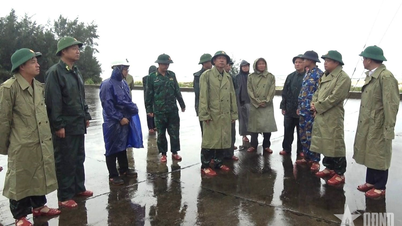
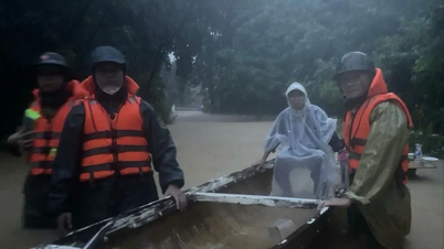
Storm Bualoi is being warned as a dangerous tropical cyclone, which can cause rough seas, rising water, flash floods and landslides in many areas. Localities in the affected areas need to closely monitor the situation and proactively prepare storm prevention and response plans early.
Source: https://www.sggp.org.vn/bao-bualoi-di-chuyen-cuc-nhanh-sang-29-9-co-the-do-bo-mien-trung-post814977.html


![[Photo] Soldiers guard the fire and protect the forest](https://vphoto.vietnam.vn/thumb/1200x675/vietnam/resource/IMAGE/2025/9/27/7cab6a2afcf543558a98f4d87e9aaf95)


![[Photo] Prime Minister Pham Minh Chinh attends the 1st Hai Phong City Party Congress](https://vphoto.vietnam.vn/thumb/1200x675/vietnam/resource/IMAGE/2025/9/27/676f179ddf8c4b4c84b4cfc8f28a9550)


Comment (0)