

From May 22nd to 27th, many localities across the country, including Lao Cai, experienced widespread heatwaves; from May 24th, the intensity increased to severe and extremely severe levels.
From the afternoon of May 27th, widespread rain appeared in some areas, helping to gradually lower temperatures. However, the transition from hot weather to thunderstorms often carries the risk of tornadoes, lightning, and strong gusts of wind during the storm.
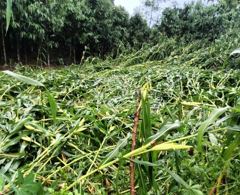
People should note that when they see thunderstorms forming, the sky darkening rapidly, accompanied by strong cool winds, they should quickly seek safe shelter to avoid dangerous phenomena such as lightning strikes or strong gusts of wind. At the same time, they should regularly monitor thunderstorm, tornado, and lightning warnings from meteorological and hydrological agencies.
Forecasts indicate that total rainfall will be lower than the multi-year average, but there is a potential risk of extreme weather events such as localized heavy rainfall, strong thunderstorms, and prolonged heatwaves. The number of typhoons and tropical depressions may be lower, but the possibility of strong, unpredictable storms still needs to be considered.
In Lao Cai province, between 3 PM and 6 PM on May 27th, thunderstorms, strong winds, and localized hailstorms occurred. Initial reports from the communes of Xuan Ai, Tan Hop, Van Chan, Mo Vang, and Nghia Tam indicate that the natural disaster resulted in one injury, damage to 35 houses, and significant losses to agricultural land and transportation infrastructure.
Source: https://baolaocai.vn/canh-bao-thoi-tiet-cuc-doan-sau-nang-nong-post900501.html
![[Image] Pleasant weather helps students enter the 10th grade entrance exam with confidence.](https://vphoto.vietnam.vn/thumb/1200x675/vietnam/resource/IMAGE/2026/05/29/1780034401612_ngay-1-thi-lop-10-minh-duy-8-5009-jpg.webp)



![[Photo] Ba Lang An Lighthouse - the "eye of the sea" amidst the "rock museum" of Quang Ngai province.](https://vphoto.vietnam.vn/thumb/1200x675/vietnam/resource/IMAGE/2026/05/29/1780038698840_anh-man-hinh-2026-05-29-luc-14-10-42.png)






















































































Comment (0)