
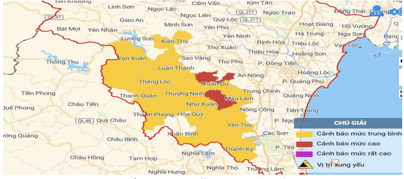
Map of flash flood and landslide risks in Thanh Hoa province.
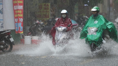
In the past 6 hours (from 5am to 11am on August 17), Thanh Hoa province has had rain, moderate rain, heavy rain and thunderstorms in some places. Rainfall measured at automatic rain gauges is as follows: Hai Van 43.2mm, Tan Binh 42mm, Xuan Binh 41.4mm, Thanh Tan 39.2mm...
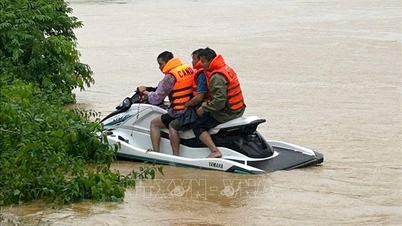
The soil moisture model shows that the current soil moisture status (the amount of water accumulated in the soil) of some areas in the above communes is close to saturation (over 85%) or has reached saturation. Warning level of natural disaster risk due to flash floods, landslides, land subsidence due to rain, floods, and water flows: level 1.
In the next 6 hours (from 11am to 5pm on August 17), Thanh Hoa province is likely to have rain, moderate rain and thunderstorms with accumulated rainfall ranging from 20 - 40mm, in some places over 40mm.
Warning of high risk of flash floods, landslides, and land subsidence in the communes of Thuong Ninh, Thanh Quan, Nhu Xuan, Thanh Phong, Hoa Quy, Xuan Binh, Xuan Du, Mau Lam, Nhu Thanh, Yen Tho, Xuan Thai, and Thanh Ky.
Many other communes are warned of moderate risk of flash floods, landslides, and land subsidence.
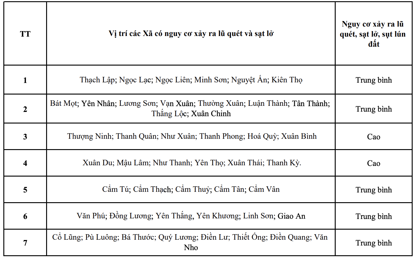
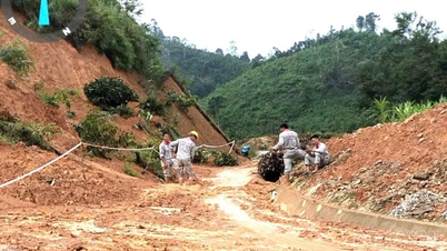
List of areas at risk of flash floods, subsidence, and landslides in the next 6 hours in Thanh Hoa province.
NM
Source: https://baothanhhoa.vn/danh-sach-cac-khu-vuc-co-nguy-co-xay-ra-lu-quet-sut-lun-sat-lo-dat-da-trong-6-gio-toi-258438.htm


![[Photo] Binh Trieu 1 Bridge has been completed, raised by 1.1m, and will open to traffic at the end of November.](https://vphoto.vietnam.vn/thumb/1200x675/vietnam/resource/IMAGE/2025/10/2/a6549e2a3b5848a1ba76a1ded6141fae)


Comment (0)