

 |
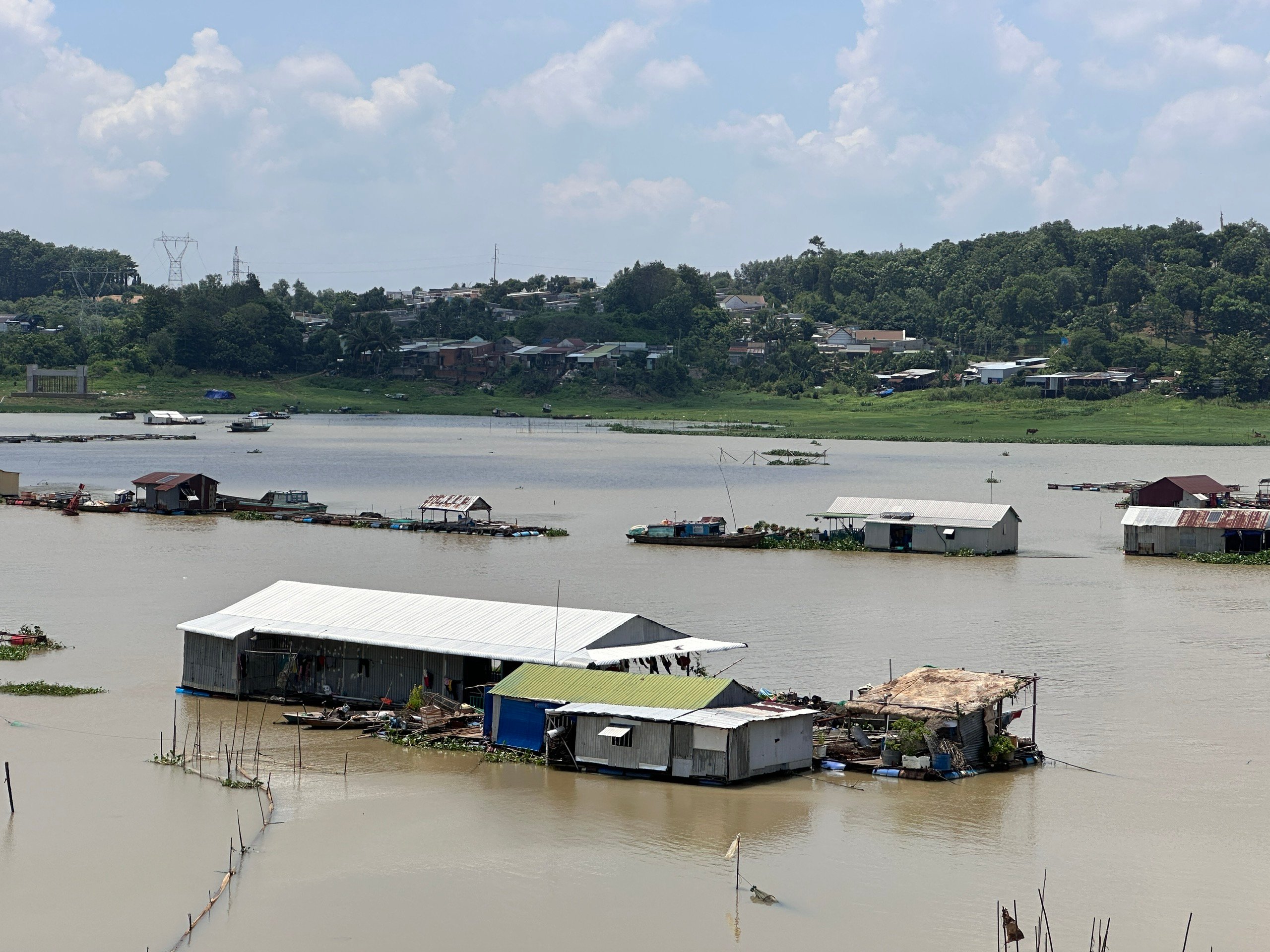
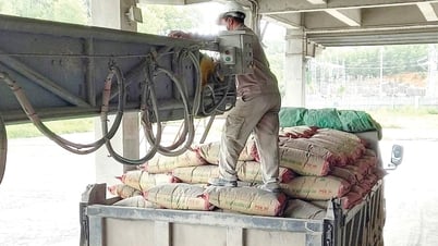
| La Nga River. Photo: Document |
Warning on Dong Nai River, from upstream to Tan Phu, Dinh Quan area, there is a possibility of flooding. In the next 24 hours, at Ta Lai station, the water level will gradually decrease but is still above alert level 1. It is necessary to be on guard against the possibility of heavy rain combined with floods causing inundation, landslides on river banks, streams, low-lying areas in Tan Phu, Dinh Quan area and neighboring areas.
Flood risk warning level on Dong Nai river: Level 1.
Water levels on rivers and streams in the upper reaches of the Dong Nai River system are quite high, posing a risk of flooding low-lying areas along rivers and streams, adversely affecting water transport, aquaculture, and agricultural production activities in rivers, streams, river banks, and stream banks.
Kim Lieu
Source: https://baodongnai.com.vn/xa-hoi/202509/kha-nang-xay-ra-lu-o-thuong-luu-song-dong-nai-b391126/
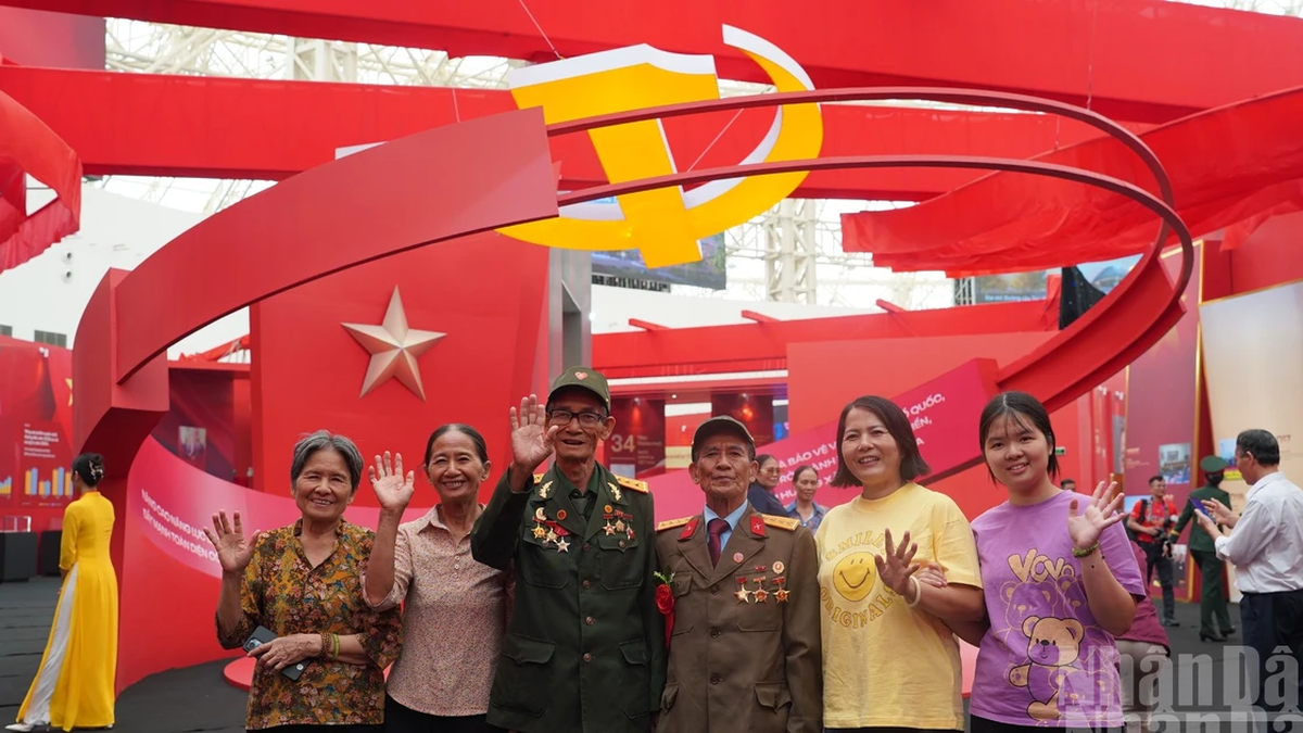
![[Photo] Lao President Thongloun Sisoulith and President of the Cambodian People's Party and President of the Cambodian Senate Hun Sen visit the 95th Anniversary Exhibition of the Party Flag Lighting the Way](https://vphoto.vietnam.vn/thumb/1200x675/vietnam/resource/IMAGE/2025/9/2/3c1a640aa3c3495db1654d937d1471c8)
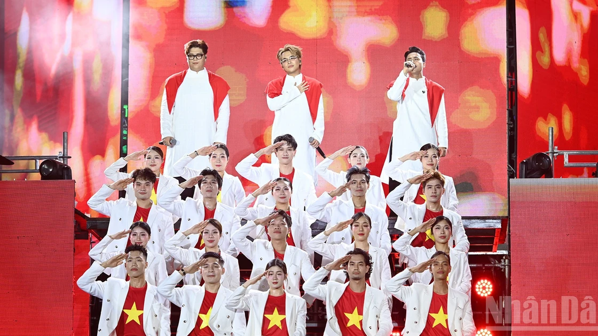
![[Photo] Special art program "Da Nang - Connecting the future"](https://vphoto.vietnam.vn/thumb/1200x675/vietnam/resource/IMAGE/2025/9/2/efdd7e7142fd45fabc2b751d238f2f08)
![[Photo] National Assembly Chairman Tran Thanh Man meets with First Secretary and President of Cuba Miguel Diaz-Canel Bermudez](https://vphoto.vietnam.vn/thumb/1200x675/vietnam/resource/IMAGE/2025/9/2/c6a0120a426e415b897096f1112fac5a)
![[Photo] Ho Chi Minh City residents show their affection to celebrate the 80th anniversary of the August Revolution and National Day September 2](https://vphoto.vietnam.vn/thumb/1200x675/vietnam/resource/IMAGE/2025/9/3/55d860cbb63a40808e1e74ad9289b132)


Comment (0)