
 |
- North direction: connecting to the Ha Giang rocky plateau, bringing highland specialties such as Shan Tuyet tea, medicinal herbs, and native livestock to the midlands.
- South direction: along Gam river, Lo river, carrying goods and tourists to central cities, and further to the plains and seaports.
- East: West direction : open inter-district and inter-regional connecting routes, creating a multi-value tourism, forestry and agricultural belt.
1. Natural space
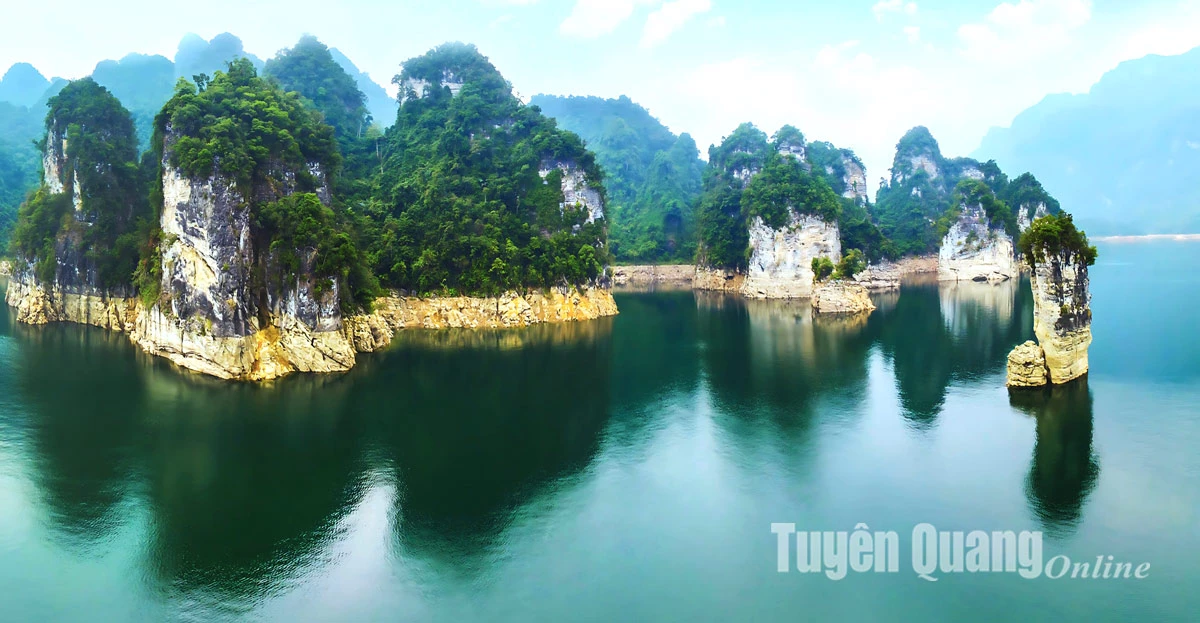
Na Hang - Lam Binh converges three important ecological factors:
- Large hydroelectric lake, regulating water resources for the entire Gam and Lo river basins.
- Limestone mountains and primeval forests - green lungs, preserving biodiversity.
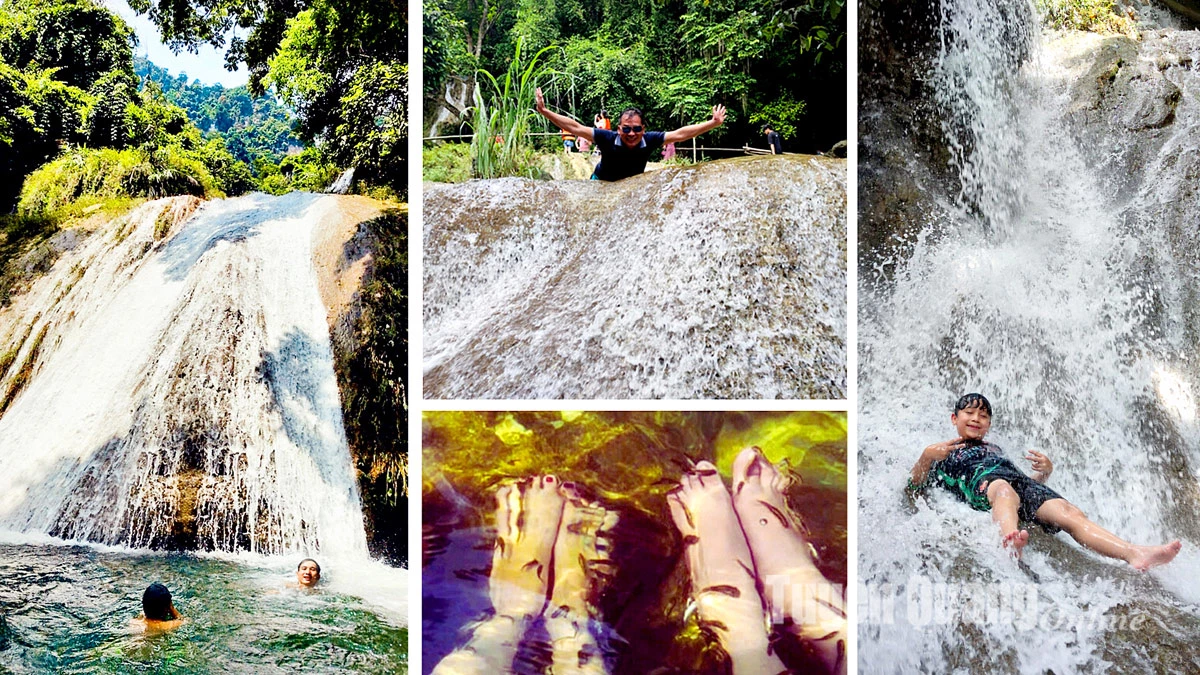
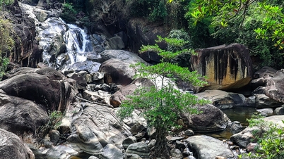
- The system of rivers, streams and waterfalls is both a source of water and a tourist landscape.
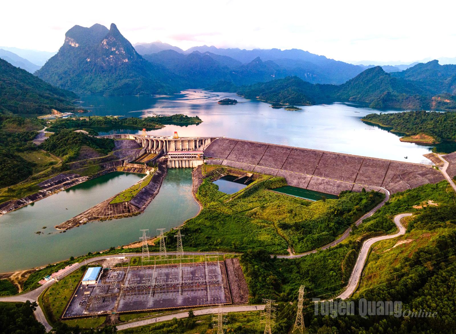 |
| Tuyen Quang Hydroelectric Lake is a favorite destination for tourists. |
2. Agricultural and forestry space
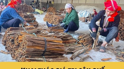
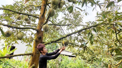
- This is a transit point for raw materials: wood, bamboo, medicinal herbs, and highland agricultural products.
- Can develop ecological agriculture, grow medicinal herbs under forest canopy, associated with processing and regional branding.
- Is a reserve of seeds and water sources serving agriculture in the midlands and deltas.
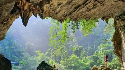
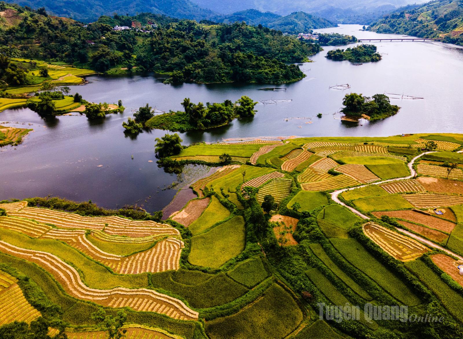 |
| Na Puc field, Da Vi commune (Na Hang), a destination not to be missed by photographers and tourists. |
3. Tourism and cultural space
- Na Hang - Lam Binh Lake eco-tourism is conveniently connected to Dong Van stone plateau and Tuyen Quang valley.
- It is a place where Tay, Dao, Pa Then cultures converge... with Long Tong festival, fire dancing, Then singing, Pao Dung singing.
- Can become the community tourism center of the province, with a network of homestays, cultural - agricultural - culinary experiences.
 |
4. Central location in provincial space
From Na Hang - Lam Binh, we can imagine a "backbone":
- The northern end connects Ha Giang (providing mountain products, a source of tourists seeking experiences).
- The southern end connects Tuyen Quang city and trade gateways nationwide.
- The two flanks connect key forestry and agricultural regions, ensuring the flow of goods - services - culture is not interrupted.
 |
| Pac Ta Mountain - symbol of Na Hang district. |
Le Minh Hoan
Source: https://baotuyenquang.com.vn/van-hoa/du-lich/202508/khong-gian-ket-noi-truc-na-hang-lam-binh-trai-tim-cua-tuyen-quang-moi-032585a/


![[Video] The craft of making Dong Ho folk paintings has been inscribed by UNESCO on the List of Crafts in Need of Urgent Safeguarding.](https://vphoto.vietnam.vn/thumb/402x226/vietnam/resource/IMAGE/2025/12/10/1765350246533_tranh-dong-ho-734-jpg.webp)


Comment (0)