
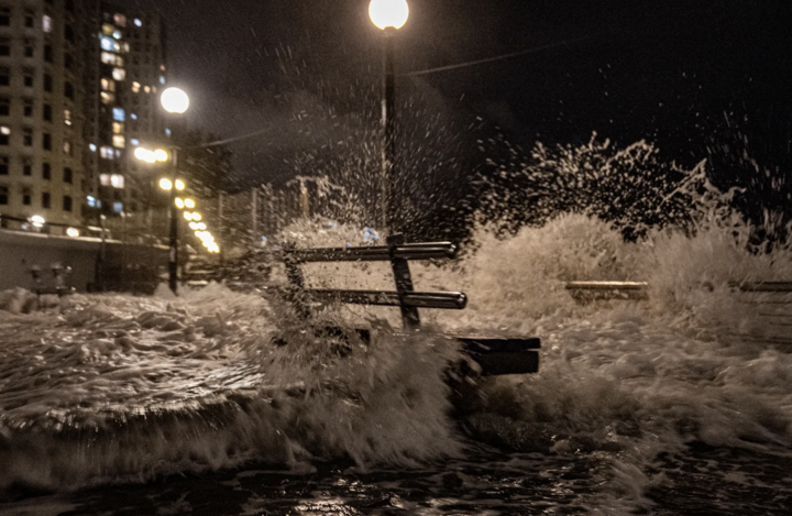
In the early morning of September 24, Hong Kong officially raised the storm warning level to level 10 - the highest level on the storm warning scale. The Hong Kong Observatory is expected to maintain this warning level for a while longer.
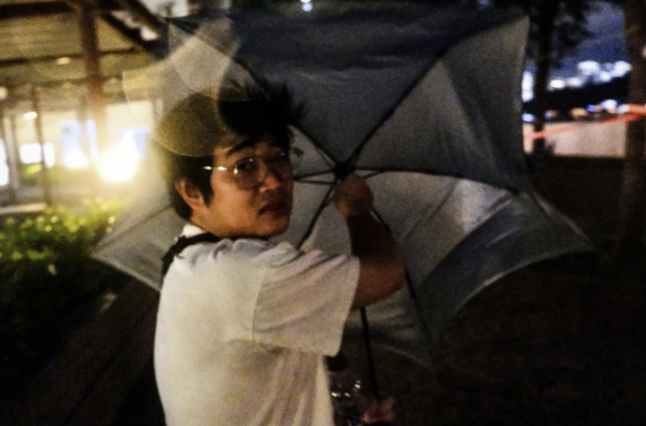
The 5:45 a.m. update this morning said Super Typhoon Ragasa was about 100 kilometers south of Hong Kong and warned that strong storm-like winds were expected to continue affecting the area.
"Local winds will gradually shift from Northeast to Southeast this morning," observatory more information.
Water levels along the Hong Kong coast are expected to rise by about 2-3m and reach a maximum of about 4m above sea level.
More than 700 flights to and from Hong Kong airport have been cancelled. The airport's notice board was flooded with red as many airlines cancelled flights this morning.
The Hong Kong Airport Authority said it was closely monitoring the weather and was prepared. The airport's emergency centre was also activated and a series of contingency measures were put in place. These included securing the airstrip and strengthening flood defences on the airport road and nearby construction sites.
Similar to Hong Kong, the highest typhoon warning is in place in Macau, with residents advised to refrain from all outdoor and marine activities. Authorities have warned that the tropical cyclone will have a “severe impact” on the region.
Meanwhile, in Guangdong province (China), the Hydrometeorological Center warned of strong gusts of wind of level 11-13 recorded in the southern part of the Pearl River Delta.
From 3am to 6am, Jiangmen, Zhongshan, Dongguan, Shenzhen, Huizhou, Shanwei and many other areas experienced short-term strong winds with gusts of level 11-13. Previously, the authorities also warned that near the eye of the storm, the wind force could reach level 12-17 and the gust level could exceed level 17.
Source: https://baolangson.vn/sieu-bao-ragasa-do-bo-hong-kong-nang-canh-bao-bao-len-muc-cao-nhat-5059855.html
![[Photo] Solemn opening of the 1st Congress of Party Delegates of Central Party Agencies](https://vphoto.vietnam.vn/thumb/1200x675/vietnam/resource/IMAGE/2025/9/24/e648cda95b1e4b92823619e093e50fa4)


![[Photo] Editor-in-Chief of Nhan Dan Newspaper Le Quoc Minh received the working delegation of Pasaxon Newspaper](https://vphoto.vietnam.vn/thumb/1200x675/vietnam/resource/IMAGE/2025/9/23/da79369d8d2849318c3fe8e792f4ce16)


Comment (0)