
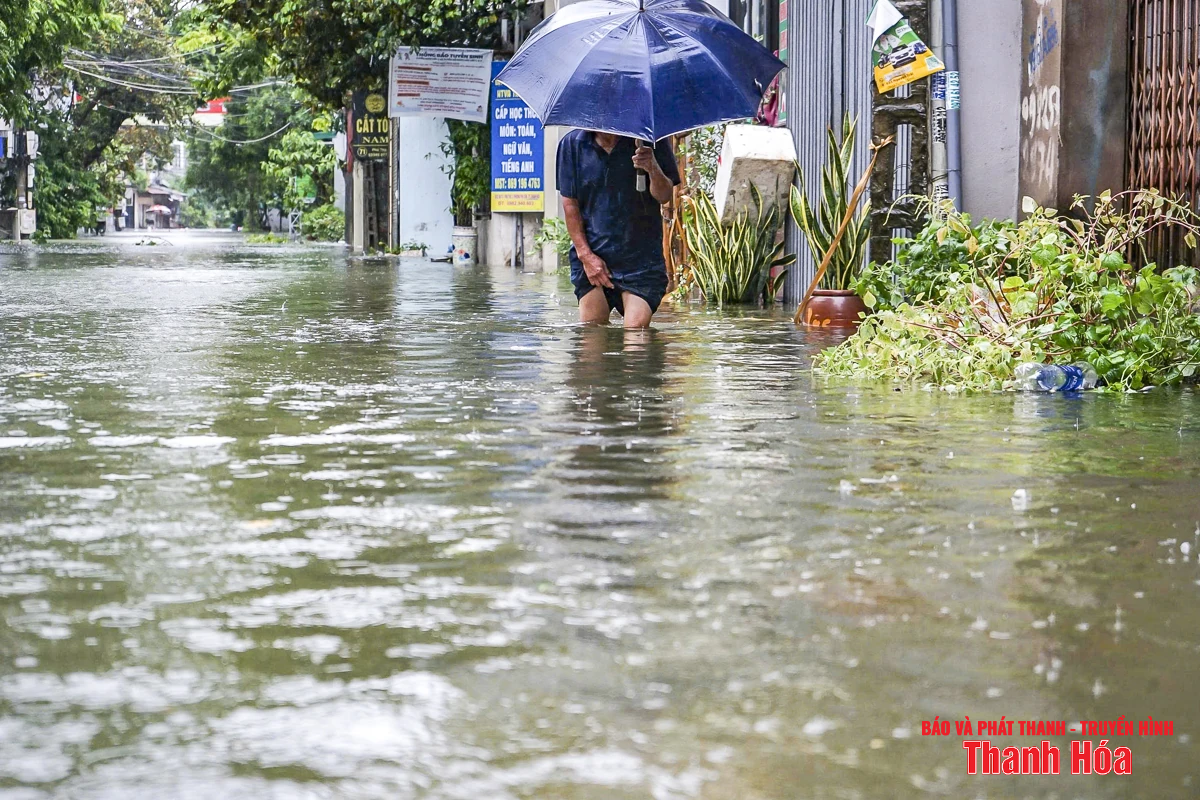
Due to the impact of storm No. 3, many streets and houses in Hac Thanh ward were flooded. Photo: Hoang Dong
It is forecasted that due to the influence of the tropical convergence zone, connected to the low pressure area that is forecast to form in the East Sea, from around August 15 to August 19, in the North (mainly the Northeast), provinces/cities from Thanh Hoa to Hue, the Central Highlands, and the South, there is a possibility of moderate to heavy rain over a wide area, concentrated in the morning, evening and night. It is necessary to be on guard against heavy rain over 80mm/3 hours. There is a high risk of extreme phenomena such as whirlwinds, lightning, flash floods, landslides and localized flooding.
The National Center for Hydro-Meteorological Forecasting also forecasts that from now until the end of August, there is a possibility of 1-2 storms/tropical depressions appearing in the East Sea. On land in the Northern region, the Central Highlands and the Southern region, thunderstorms and localized heavy rains will continue to occur in the evening and at night.
In the past month, there have been three active tropical cyclones in the East Sea, including storm No. 3 (Wipha), storm No. 4 (Comay) and a tropical depression. Of which, storm No. 3 directly affected the mainland of our country, causing heavy rain in Thanh Hoa and Nghe An , in which Nghe An experienced record floods and widespread inundation.
LP
Source: https://baothanhhoa.vn/anh-huong-cua-ap-thap-nhet-doi-thanh-hoa-se-co-dot-mua-lon-dai-ngay-257987.htm


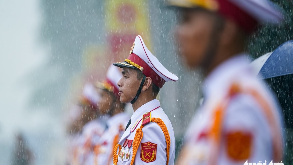
![[Photo] General Secretary attends the inauguration ceremony of the Ministry of Public Security Headquarters](https://vphoto.vietnam.vn/thumb/1200x675/vietnam/resource/IMAGE/2025/8/16/3ceec3a24ef945c18ae2b523563b749d)
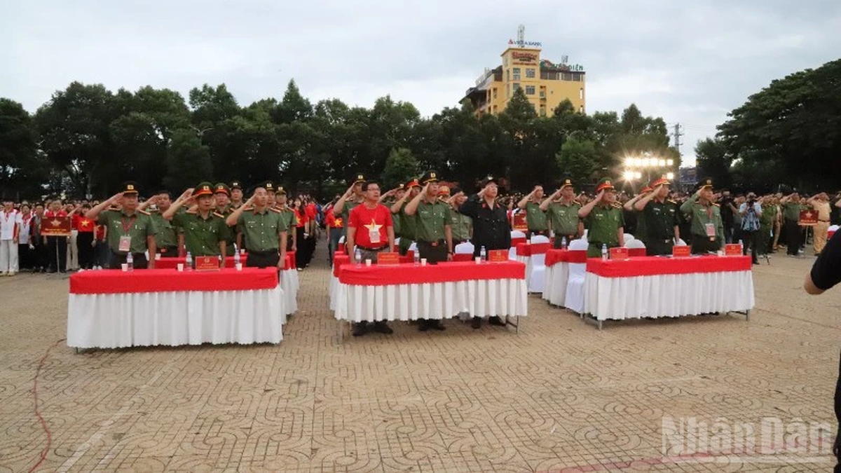
![[Photo] National Assembly Chairman Tran Thanh Man attends the program "Returning to the source - Towards the future"](https://vphoto.vietnam.vn/thumb/1200x675/vietnam/resource/IMAGE/2025/8/16/d081d9c162ee4ed9919e723aa322a53a)


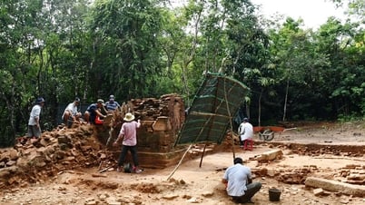
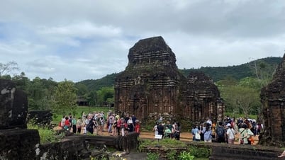
![[Photo] “Moving forward with Vietnam” on the most romantic road in Vietnam](https://vphoto.vietnam.vn/thumb/1200x675/vietnam/resource/IMAGE/2025/8/16/0ee500bc59fd4468863261ee26f47fe7)


Comment (0)