
According to the National Center for Hydro-Meteorological Forecasting, around June 22-23, the northern and central East Sea areas are likely to form a low pressure area; this low pressure area is forecast to strengthen into a tropical depression and storm.
Around June 23-25, tropical depressions and storms are likely to directly affect the northern and central East Sea (including the waters of the Hoang Sa archipelago) and the Gulf of Tonkin.
In addition, currently due to the influence of the Southwest monsoon, the central and southern East Sea (including the sea area west of Truong Sa archipelago) has strong Southwest winds of level 5, sometimes level 6, gusting to level 7 - 8, rough seas, waves from 1.5 - 2.5m high.
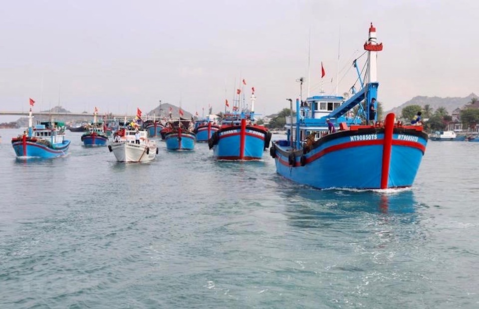
Deputy Chief of Office of the National Steering Committee for Natural Disaster Prevention and Control Vu Xuan Thanh said that to proactively respond to the low pressure area that is likely to strengthen, the Standing Office has sent an official dispatch to coastal provinces and cities from Quang Ninh to Kien Giang requesting focused response.
The key task is to closely monitor warning bulletins, forecasts and developments of strong winds, large waves at sea, as well as low pressure areas that may form in the coming days; promptly notify captains and owners of vehicles and vessels operating at sea to proactively prevent and have appropriate production plans, ensuring safety of people and property.
Along with maintaining communication with vessels to promptly handle possible bad situations, it is necessary to prepare forces and means to deploy rescue work when there is a situation. At the same time, be on duty seriously and regularly report to the Standing Office for timely response instructions.
Source: https://kinhtedothi.vn/bien-dong-sap-co-ap-thap-nguy-co-manh-len-thanh-bao.html


Comment (0)