
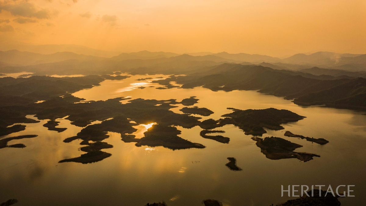
(TN&MT) - According to the affectionate name, Truong Sa island district is the sacred territory of our Fatherland on the "horizon" in the East, under the administrative management of Khanh Hoa province. Truong Sa archipelago includes about 130 islands, rocks, coral cays, shoals, reefs, sandbanks, coral rubble and typical open and closed atolls (Alton), scattered in a sea area of about 163,000km2.
The Truong Sa archipelago has a total natural island area of less than 10km2; researchers have divided it into 8 clusters, separated by deep trenches: Song Tu, Thi Tu, Loai Ta, Nam Yet, Sinh Ton, Truong Sa, Tham Hiem and Binh Nguyen. As mentioned above, the Truong Sa archipelago is made up of coral reefs that have developed on the foundation of ancient volcanoes dating back 240 million years. Therefore, the geological age of this archipelago is both "old and young": the ancient volcanic rock layer and the older coral reef are thousands of meters deep, but the young coral reef layer above (the deepest is 50m) is still forming and changing every day. Shallows still appear, some disappear related to the "disturbing" geodynamic movements in this sea area. In the first half of the 19th century, Western scientists recorded that the shallows belonging to the coral reef foundation in Truong Sa kept growing and getting higher over time. A few decades ago, Thuyen Chai beach was just barely above the water surface, but now it is about 32km long and 5-6km wide at its widest. Recently, En Dat beach has begun to emerge with a small area and is developing.
The sea water of Truong Sa is clear and blue, and in many places you can see the bottom. The scale, structural diversity, unique and attractive ecological conditions of the Truong Sa sea area can be compared to the world- famous Great Barrier Reef International Marine Park of Australia (about 183,000 km2 wide).
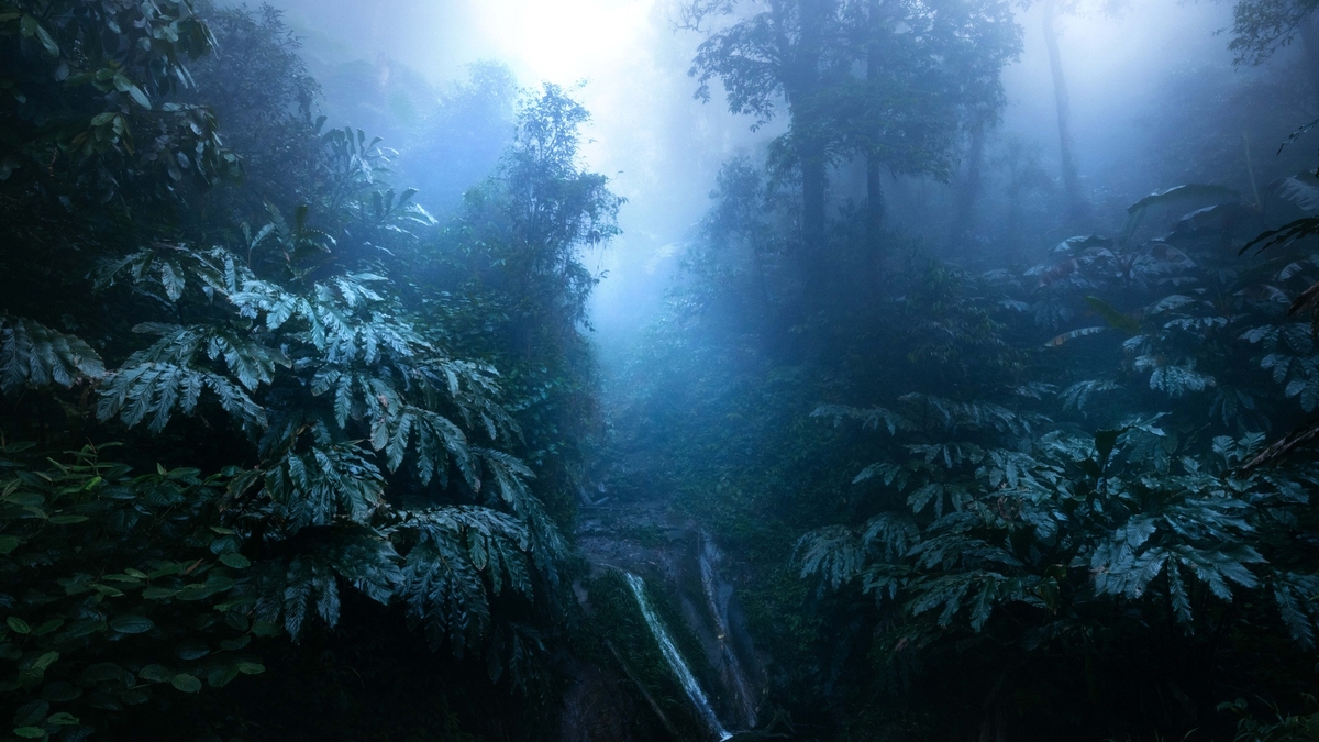
The nature of this “coral oasis” is very harsh: abundant sunlight, wind and storms; lack of fresh water and trees due to the poor water retention capacity of the coral reef; thin soil, poor in nutrients and organic matter. Therefore, people living on the islands of this island district must proactively find ways to grow vegetables/trees in containers and artificial gardens with added soil and fertilizer.
The flora here is famous for the square-shaped tree, the bivalves are famous for the giant clam/ear snail. On the islands of the Truong Sa archipelago, 117 species have been discovered, belonging to 42 families, with the predominance of herbaceous species and individuals. The herbs in Truong Sa are all found on the mainland of Vietnam, especially in the Central region of Vietnam, mainly imported from the mainland and planted in many ways since ancient times.
Birds, mainly seagulls, live in flocks with three families of grazers. These birds have deposited a thick layer of droppings that covered many areas of the islands in the past, used as fertilizer (guanophosphate). The Spratly Islands are home to about 2,927 species of organisms (as of 1980), including about 382 species of 84 genera of reef-building corals, 358 species of zooplankton, 462 species of phytoplankton, 524 species of fish, 776 species of benthic animals, 282 species of algae and seagrass, 20 species of sea turtles and marine mammals, and 35 species of seabirds. In particular, in 2014, synthesizing international and Vietnamese research, scientists in the region confirmed that the Truong Sa sea area is the center of the extension into the East Sea of the "International Coral Triangle" with high coral species diversity (total of 517 coral species) and the top of this coral triangle is on the coast of Vietnam, the coastal area of Khanh Hoa - Bac Ninh Thuan province.

Surrounding the Truong Sa coral reef are rich, high-quality fishing grounds that are traditional for Vietnamese fishermen. This is also the center for distributing and dispersing seeds and nutrients for the rest of the East Sea and neighboring areas. The subsoil here also contains potential for flammable ice, oil and gas with estimated reserves of quite large amounts. The wide beaches along the islands in the Truong Sa sea are made of coral shells and fragments, so they are light and deformed by the wind season. The Truong Sa sea water is clear, and in many places the bottom can be seen. The scale, structural diversity, unique and attractive ecological conditions of the Truong Sa sea can be compared to the world-famous Great Barrier Reef International Marine Park of Australia (about 183,000 km2 wide).
In addition to the above-mentioned outstanding advantages, Truong Sa island district also blocks the largest international shipping route through the East Sea and many shipping routes in the region. Therefore, Truong Sa island district occupies an important geostrategic position, being the main "crossroads" in the strategic calculations of major countries in the 21st century. Currently, Truong Sa island district is under pressure and existing impacts of natural disasters (climate change, storms, ...) and man-made disasters related to human behavior...
Protecting sovereignty over seas and islands must be associated with protecting marine resources and environment - the "core" of green growth; conversely, conserving marine resources and environment is also the foundation for developing a green and sustainable marine economy, a premise for firmly ensuring Vietnam's "Civil Sovereignty" in the East Sea.
Facing such immediate difficulties and long-term challenges, the cadres, soldiers and people of Truong Sa island district are always united, unanimous, and join hands to preserve the green color of the sea and the green color of peace for the country. Together, they take care of every branch and leaf, not only to ensure self-sufficiency in green vegetables, but also to protect the marine and island environment. The green cover on the island is always focused on planting and is increasingly green. The "multi-purpose" traffic infrastructure on the island and between the islands is consolidated, upgraded and supplemented, making the island district more spacious. The places to eat, the places to stay, the cultural environment are improved, the sound of temple bells echoing in the distance, blending with the voices of children, making the island district truly peaceful, the sacred soul of the mountains and rivers in the heart of the vast ocean. Truong Sa is so far away yet so close, especially in the era of digital transformation, there is nothing on the mainland that the people and soldiers on this far island do not know and vice versa.
Since 2010, the Nam Yet Island Marine Protected Area (MPA) has been planned by the Government to protect ecological standards and rare species specific to Truong Sa; to conserve corals and associated species in the Nam Yet Island MPA in particular and the island district's sea area in general to create the effect of restoring and dispersing marine resources, protecting the "common home". The MPA is considered a "Park of the Water Kingdom" on the seabed of Truong Sa. Therefore, nowhere else, the issue of environment, resources and sovereignty of the islands have become three sides of one problem here. This is something that the officers, soldiers and people of the island district are always aware of. Protecting sovereignty of the islands must be associated with protecting the resources and environment of the islands - the "nucleus" of green growth; On the contrary, conserving marine resources and environment is also the foundation for developing a sustainable blue marine economy, a premise for firmly ensuring Vietnam's "civil sovereignty" in the East Sea.
In these last days of the year, the cadres and people of Truong Sa island district and Khanh Hoa province are joyfully welcoming the Spring with excitement, together building and developing Khanh Hoa province to become a centrally-run city by 2030 on the basis of maximizing the potential and advantages of the sea in the spirit of Resolution No. 09-NQ/TW. In the near future, an economic, cultural and social center at sea of the whole country will be formed; at the same time, it will be a solid defense area, contributing to protecting the sacred sovereignty of the sea and islands of the Fatherland.
The new shape of Truong Sa island district in the new Spring of the colorful "coral flower garden" on the seabed will create a majestic and poetic Truong Sa paradise.
Source

![[Photo] General Secretary To Lam attends the 18th Hanoi Party Congress, term 2025-2030](https://vphoto.vietnam.vn/thumb/1200x675/vietnam/resource/IMAGE/2025/10/16/1760581023342_cover-0367-jpg.webp)
![[Photo] Conference of the Government Party Committee Standing Committee and the National Assembly Party Committee Standing Committee on the 10th Session, 15th National Assembly](https://vphoto.vietnam.vn/thumb/1200x675/vietnam/resource/IMAGE/2025/10/15/1760543205375_dsc-7128-jpg.webp)


![[Video] TripAdvisor honors many famous attractions of Ninh Binh](https://vphoto.vietnam.vn/thumb/402x226/vietnam/resource/IMAGE/2025/10/16/1760574721908_vinh-danh-ninh-binh-7368-jpg.webp)


Comment (0)