
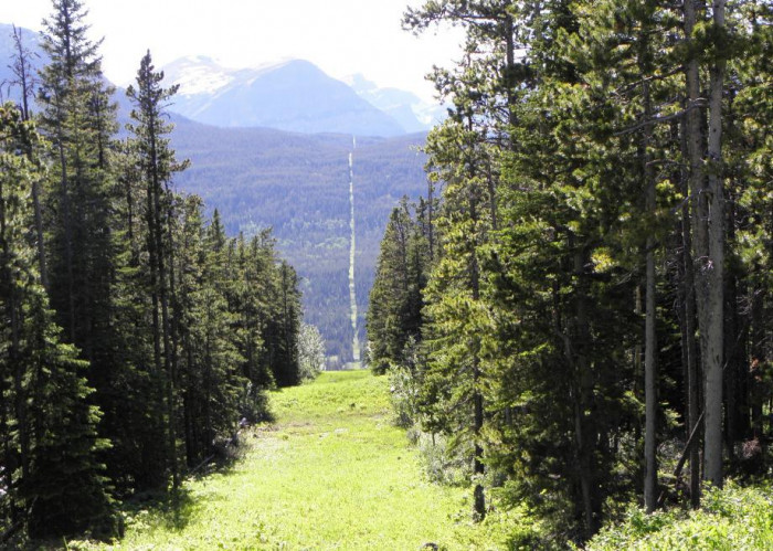
1. Bulgaria, Greece and Macedonia
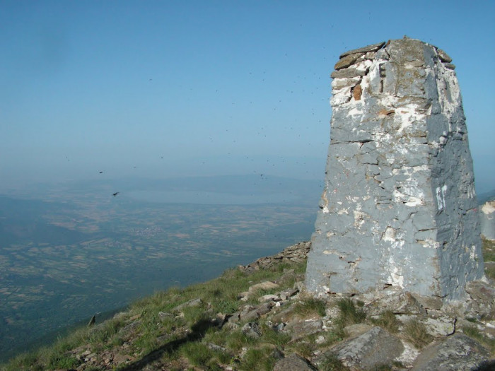
The Meeting of Three Nations, also known as Mount Tumba, is where Greece, the southwesternmost point of Bulgaria and the southeasternmost point of the Republic of North Macedonia meet. Every August since 2001, a tour has been organized here under the motto “Balkans without borders”.
2. Pheasant Island
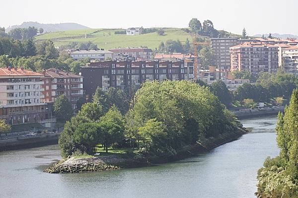
This tiny island in the Bidasoa River between northern Spain and southern France is just 200 metres long, and has swapped ownership between the two countries more than 700 times since 1659. This is because the two countries take turns governing it, changing ownership every six months.
3. Mexico and the United States
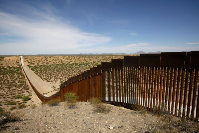
The border between Mexico and the United States is the most heavily traveled border in the world , with nearly 1 million migrants making their way across the border between Mexico and the United States each year. The border spans a wide range of terrain, from urban to desert.
4. Egypt and Sudan
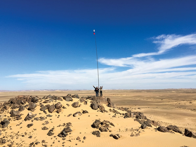
Bir Tawil, a 2,000 square kilometer strip of desert that lies between the two countries, is a no-man’s land that would only be a loss for one country, and both countries have refused to annex Bir Tawil. However, many organizations and even individuals have tried to decentralize governance between the two countries, but Bir Tawil still does not officially belong to either country.
5. Canada and the United States
At over 8,000 km long, it is the longest border in the world, separating Canada from 13 US states. It looks like a straight line on a map, which would be an easier way to divide a country, but it completely separates Point Roberts from the rest of the US. The peninsula has only one elementary school, so high school students who want to study in the US have to cross the border every day.
6. Moresnet
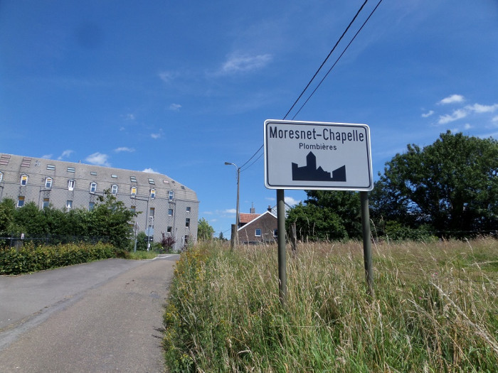
From 1830 to 1919 there existed a lesser known country called Moresnet, with its own flag and even its own language, Moresnet bordered the Netherlands, Belgium and Prussia for just 90 years. However, after World War I, the territory was annexed by Belgium and today the point is marked by a tower (Belgium) from which you can see the Labyrint Drielandenpunt (Netherlands).
7. Brazil, Argentina and Paraguay
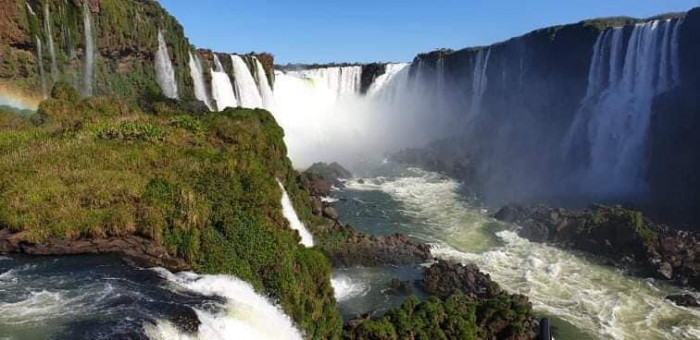
This border is located where the Iguazú and Paraná rivers converge. It is a popular tourist destination. Each of the three bordering countries has erected a memorial, painted in their national colors, that offers idyllic views of each country.
8. Netherlands and Belgium
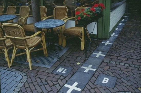
The border between Belgium and the Netherlands is a simple white cross, so tourists are free to shop in one country and eat in the other.
9. Botswana, Namibia, Zambia and Zimbabwe
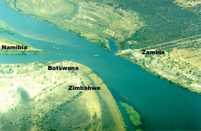
These “four corners of Africa” meet on the Zambezi River, where ferries and boats constantly cross between the four countries. However, in 2007, Zambia and Botswana made a deal to build a bridge to replace the ferry system.
10. Diomede Islands
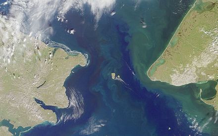
Right between Siberia and Alaska are two small islands. Yesterday Island (Big Diomede) and Tomorrow Island (Little Diomede). The time zones on the islands are controlled by Russia and the United States, so Yesterday Island is 21 hours behind Tomorrow Island. Here, you can celebrate your birthday twice in one day!
Source
![[Video] More than 100 universities announce tuition fees for the 2025–2026 academic year](https://vphoto.vietnam.vn/thumb/1200x675/vietnam/resource/IMAGE/2025/7/18/7eacdc721552429494cf919b3a65b42e)


![[Infographic] In 2025, 47 products will achieve national OCOP](https://vphoto.vietnam.vn/thumb/402x226/vietnam/resource/IMAGE/2025/7/16/5d672398b0744db3ab920e05db8e5b7d)


Comment (0)