
")
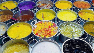
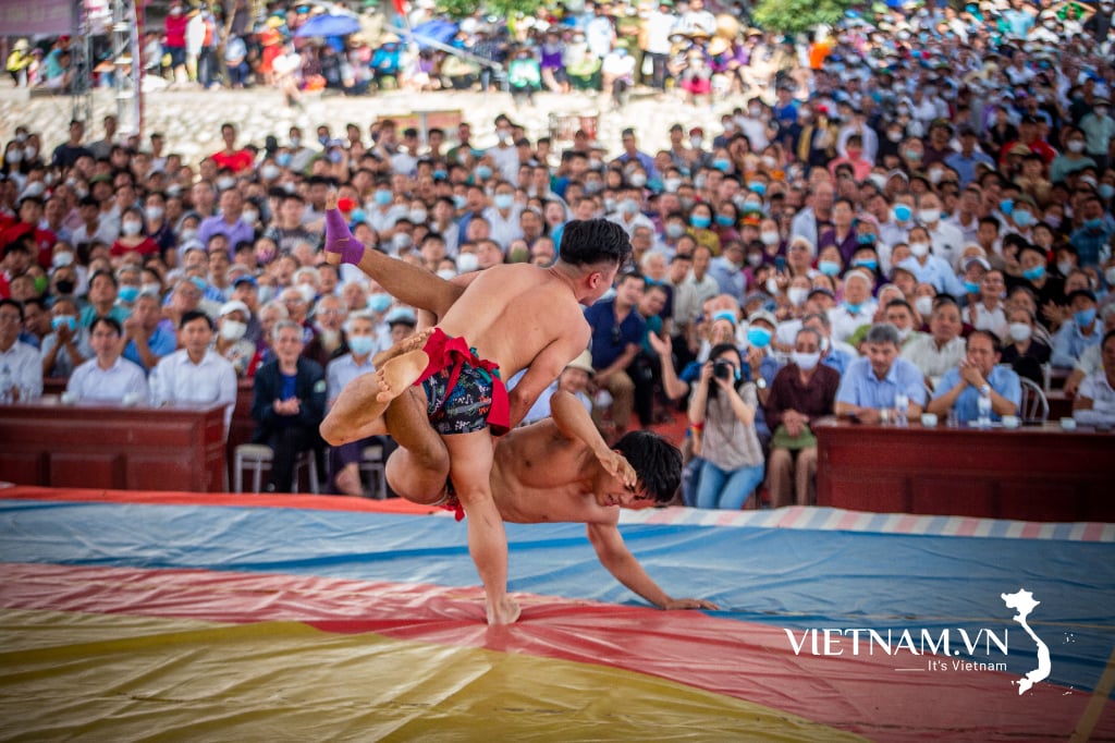
Huynh Cong Thang Temple Festival, Cam Giang.
In 1808, when King Gia Long changed the name of Phien Tran Palace to "Phien An Town, took the district as prefecture, took the canton as district", in the list of villages and communes belonging to Binh Cach and Thuan An cantons, there were the names of the villages: Cam Giang Tay and Thanh Duc (Gia Dinh Thanh Thong Chi book).
Looking further, researcher Nguyen Dinh Tu also believes that those villages and communes were established right from the founding of Quang Phong religion (1779). This is also understandable, because when establishing the religion, Lord Nguyen chose Cam Giang village as the religious office (similar to the provincial and district capitals today), and the land adjacent to Cam Giang was Thanh Duc village. Of course, those two villages would be the first stepping stone, so that when Quang Hoa district was established (1836), it would expand to the villages in Triem Hoa commune. At this point, I suddenly remembered a pair of parallel sentences in front of the altar of the gods in Cam An - Hung My communal house. That is:
- The holy virtue of the Triem dynasty, the world is peaceful and prosperous
- I bow to the grace of the ancestors, the virtuous Vietnamese father offers incense.
Meaning: The virtue of the saint permeates and descends to create favorable winds and rains/ Admiration for the grace of the gods causes the good people to make regular offerings. The notable word in the above sentence is Triem, meaning permeated with a grace from above.
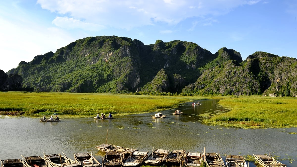
Is this the word that our ancestors thought of when naming the first commune of Quang Hoa district as Triem Hoa? Thus, in the middle of a river area, once named Gam River (Cam Giang) by the ancients, on the other side of the river were the fertile fields of Tien Thuan and Loi Thuan villages of Giai Hoa commune, and on this side was the more bustling Triem Hoa commune. People from Triem Hoa often crossed the river to sow and harvest crops.
That custom still exists today, and was once called encroached fields. There is still a river wharf dedicated to this purpose right at the foot of Cao Son Tu hill; the hill has been mentioned in folk songs, comparable to Dien mountain and Vam river. But that was a story of several hundred years ago, since the Vietnamese people came to this riverbank to open up land and establish villages. In reality, this is also the homeland of people from distant cultural periods. Such as the Oc-eo cultural period or prehistoric times.
")
Release the boat to escort the Truong Dong court.
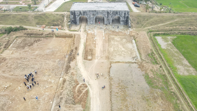
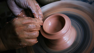
According to the scientific report on archaeology of Tay Ninh Museum (2011), in the old village of Truong Hoa, now Truong Phu hamlet, Truong Dong commune, there is an ancient boat relic. The relic is located near the Re canal. It is: "a dugout canoe, carved from the trunk of a large tree. The boat is still relatively intact... the remaining boat body is 11m63 long, the widest point in the middle of the boat is 1m30, the deepest point of the boat is 0m50...
During a survey in early April 2010, on a water ditch dug by the homeowner in the garden..., the stern of another boat was revealed... On the bank of the fish pond dug by the homeowner later, he said he found the bow of another boat lying next to the pond bank...".
The C14 test results of the Hanoi Institute of Archaeology showed that the age of the boat wood was 1955 + 95 years ago. So there was not only a dugout canoe, but also a cluster of boats showing that it was a place of human habitation about 2,000 years ago. That was in the early period of the Oc-eo culture of the kingdom of Phu Nam.
In a village in the southernmost part of Triem Hoa commune - Phuoc Trach village, archaeologists have also found important relics on Cao Son hill. These relics show that on the hill there are relics of two ancient cultures.
According to the above report: "The layer of soil on the relic's surface from 0.40m to 0.60m thick is the layer of soil added during the Oc-eo and post-Oc-eo cultural periods; from 0.40m to 0.60m and below is the residential layer of the prehistoric period.
The prehistoric residential layer is on average 0.60 to 1.00 m thick. Traces of prehistoric residential areas spread over an area of nearly 1 hectare of land to the South and Southeast of Cao Son mound area..." Comparing the pottery fragments found in this layer with other relics of the Southeast region, archaeologists predict: "the prehistoric relics of Cao Son mound date back about 2,500 to 2,700 years ago".
Thus, this left bank river terrace area was inhabited by prehistoric and Oc-eo people more than 2,000 years ago. After the 8th century - after Oc-eo, the whole Southern region returned to wilderness, often called by the ancient Cham people as the land of the Elephant stables (Rom Dum ray).
It was not until the end of the 17th century, with the Nguyen Lords' exploration of the South, that the Southern region revived. And the riverside areas became the most developed. Tong Triem Hoa was the same! That is where the density of sites and relics is very high compared to other regions.
On the foundation of the two cultural layers, Cao Son Pagoda arose in the late 18th century as a symbol of the third cultural layer of the Vietnamese people. Besides, there is Phuoc Trach communal house, Ba Chua Xu temple or Ong Ta temple.
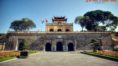
And not only in Cao Son, Phuoc Trach, but also in other villages and communes (except for Hiep Thanh commune which only has 1 pagoda and 1 church built during the French colonial period). Thanh Duc commune still has 3-4 ancient pagodas and 2 communal houses. One is at Ben Muong, one is at Cay Cho wharf near Bau Nau canal. Cam Giang also has 2 communal houses, one worships Huynh (or Tran) Cong Thang and a famous Cam Phong pagoda from the past.
")
Officers and staff of Tay Ninh Provincial Museum excavated a 2,000-year-old dugout canoe. (Photo: P. TK)
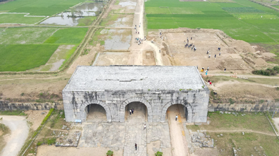
The most valuable thing is that the communal houses in the above communes still retain the ancient architecture, very typical of Southern communal houses. These are wooden architectures with a "four-pillar" structural frame; dark brown tiled roofs creating the shape of "banh it". Along with the communal houses, there are also forests of precious ancient trees. For example, nearly 1 hectare of Cam An communal house land, with the shadow of Cu Chi trees and ancient trees on high. Not to mention the old communal house land in Lang Cat, which is also several hectares, with the shadow of old trees...
The communal house of Cam Giang in Cam Long hamlet, or the communal houses of Thanh Duc, although smaller, are almost the same. Coming to the land of Truong Hoa in the past, now divided into 3 communes, there are still 2 old communal houses in Truong Dong and Truong Tay. That is not to mention the temples of Ong Ta or goddesses such as Ba Ngu Hanh, Ba Chua Xu. Anywhere in the ancient land of Triem Hoa, it is easy to recognize a culture with a strong traditional folk identity.
Nowadays, the old Triem Hoa area belongs to two districts and towns, Go Dau and Hoa Thanh. One side is the river, the other side is National Highway 22B, so it is quite familiar to people inside and outside the province. But sometimes, the road is good, the waves are smooth, so cars and trains pass by quickly.
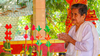
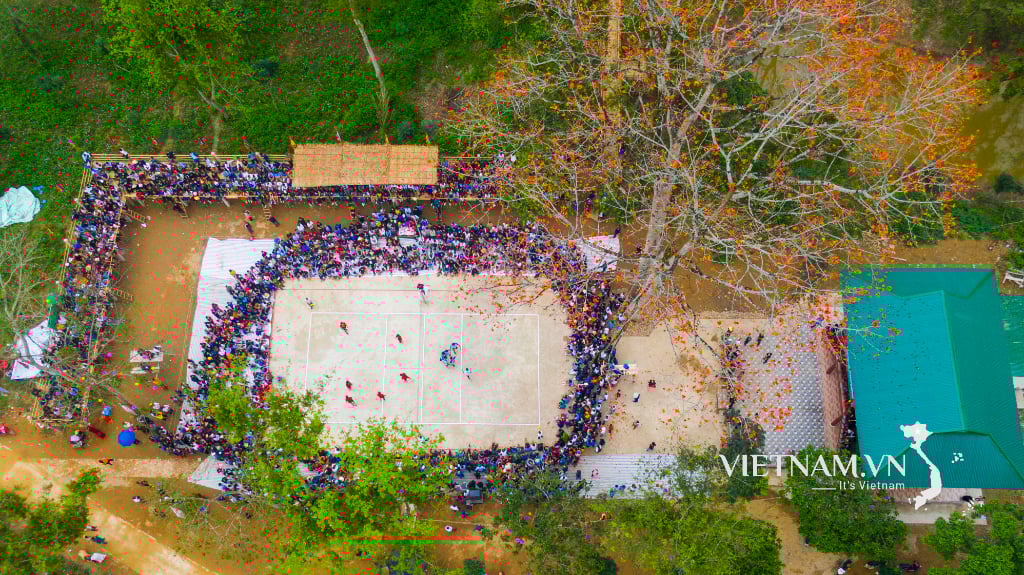
Please do not forget the bustling festivals in January and February after Tet. They are the Ky Yen festivals in all the communal houses from Truong Tay to Phuoc Trach. The sound of gongs and drums echoes throughout the Vam Co Dong River. Many ancient Triem Hoa communal houses still maintain the tradition of sending off the boat, so much fun! It is both a joy and an aspiration. About a peaceful and poetic life right next to the waves of the Vam River.
Tran Vu
Source
![[Photo] More than 124,000 candidates in Hanoi complete procedures for the 2025 High School Graduation Exam](https://vphoto.vietnam.vn/thumb/1200x675/vietnam/resource/IMAGE/2025/6/25/fa62985b10464d6a943b58699098ae3f)
![[Photo] General Secretary To Lam works with the Standing Committee of Quang Binh and Quang Tri Provincial Party Committees](https://vphoto.vietnam.vn/thumb/1200x675/vietnam/resource/IMAGE/2025/6/25/6acdc70e139d44beaef4133fefbe2c7f)

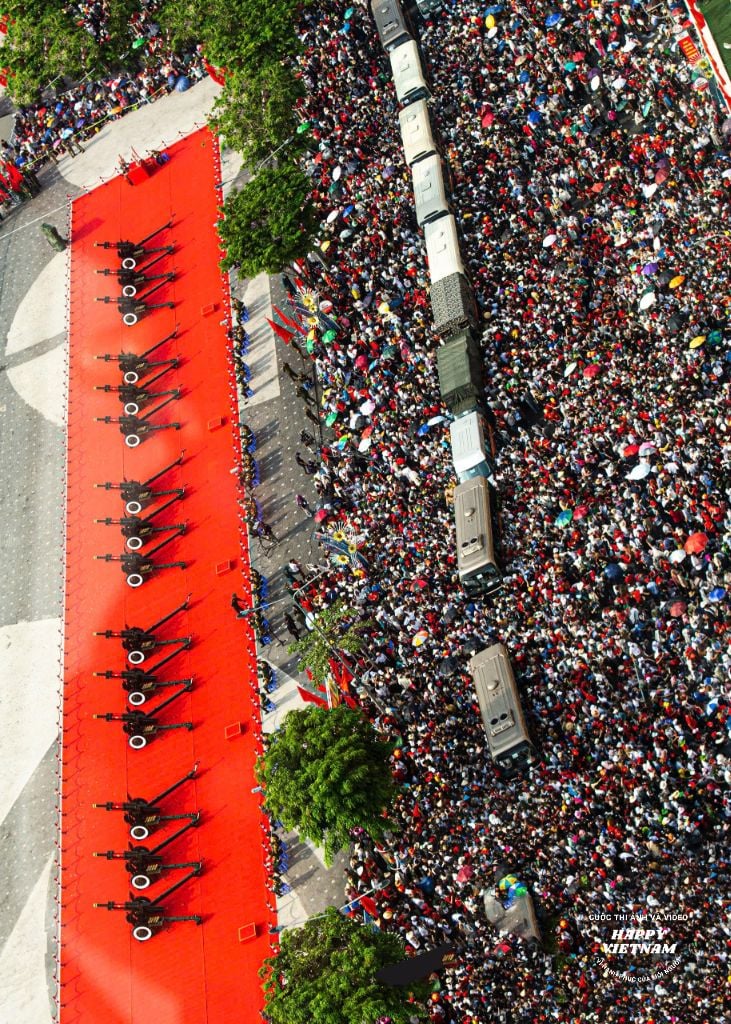
![[Photo] First training session in preparation for the parade to celebrate the 80th anniversary of National Day, September 2nd](https://vphoto.vietnam.vn/thumb/1200x675/vietnam/resource/IMAGE/2025/6/25/ebf0364280904c019e24ade59fb08b18)


Comment (0)