
.jpg)
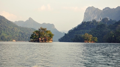
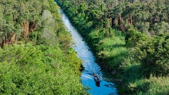
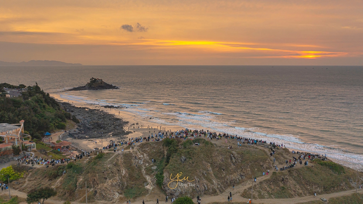
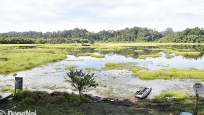
Dong Nai province has Dong Nai river flowing through it with a length of about 200km, this river has an important position in the socio -economic development of the province. In particular, the area along Dong Nai river has a lot of potential, if exploited in the right direction, it will contribute greatly to the development of the province.
Dong Nai River is the most important development corridor of the province, because it belongs to the international maritime axis (group 5), gathering many inland waterways and channels deep into the mainland. On the other hand, throughout the river route from North to South, Dong Nai River is the axis of urban, rural and natural landscape, the main feature of the province's spatial layout, and at the same time the dynamic axis of urban development of the Southeast region.
Dong Nai River is also an important natural axis for water supply, climate regulation, energy development and climate change prevention. For Dong Nai province, Dong Nai River is also a spiritual and historical cultural axis closely linked to the formation and development of the province.
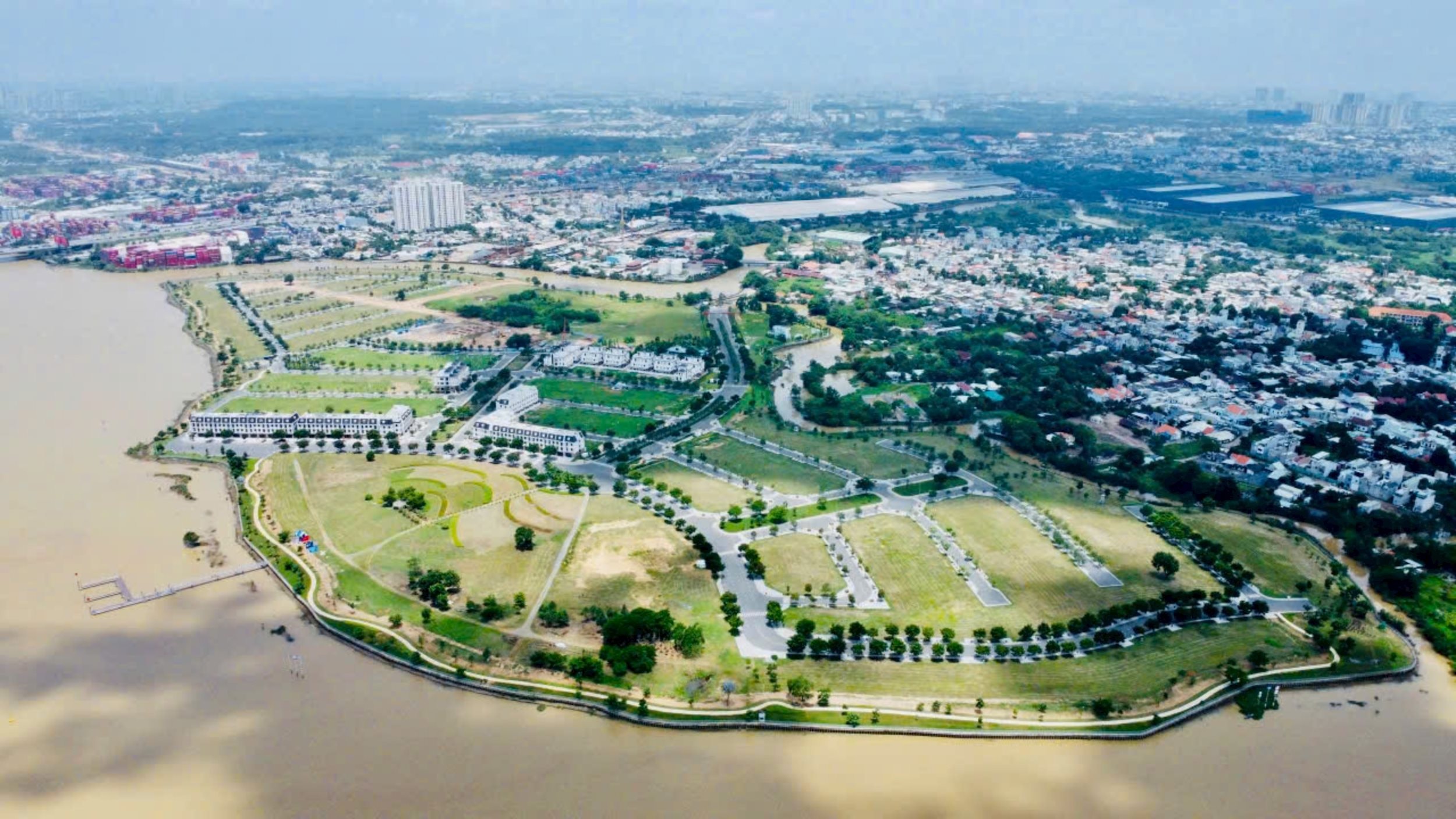
Currently, Dong Nai is implementing adjustments to the Provincial Planning for the period 2021-2030, with a vision to 2050. In particular, the Dong Nai riverside economic corridor is oriented to become one of the three strategic economic corridors of the province with the goal of exploiting the advantages of river landscape to develop ecological urban areas, resort tourism and high-class services.
According to the People's Committee of Dong Nai province, in the process of implementing the Dong Nai Provincial Planning Adjustment Project for the period 2021-2030, three strategic economic corridors of the province will be shaped for development, including: the urban-industrial economic corridor along National Highways 13 and 14, Ring Road 4 - Ho Chi Minh City and expressways, connecting the province's major industrial centers; the high-tech agricultural economic corridor and eco-tourism, developed in the northern region of the province, associated with specialized agricultural areas and national parks; the economic corridor along the Dong Nai River to exploit the advantages of the river landscape to develop ecological urban areas, resort tourism and high-class services.
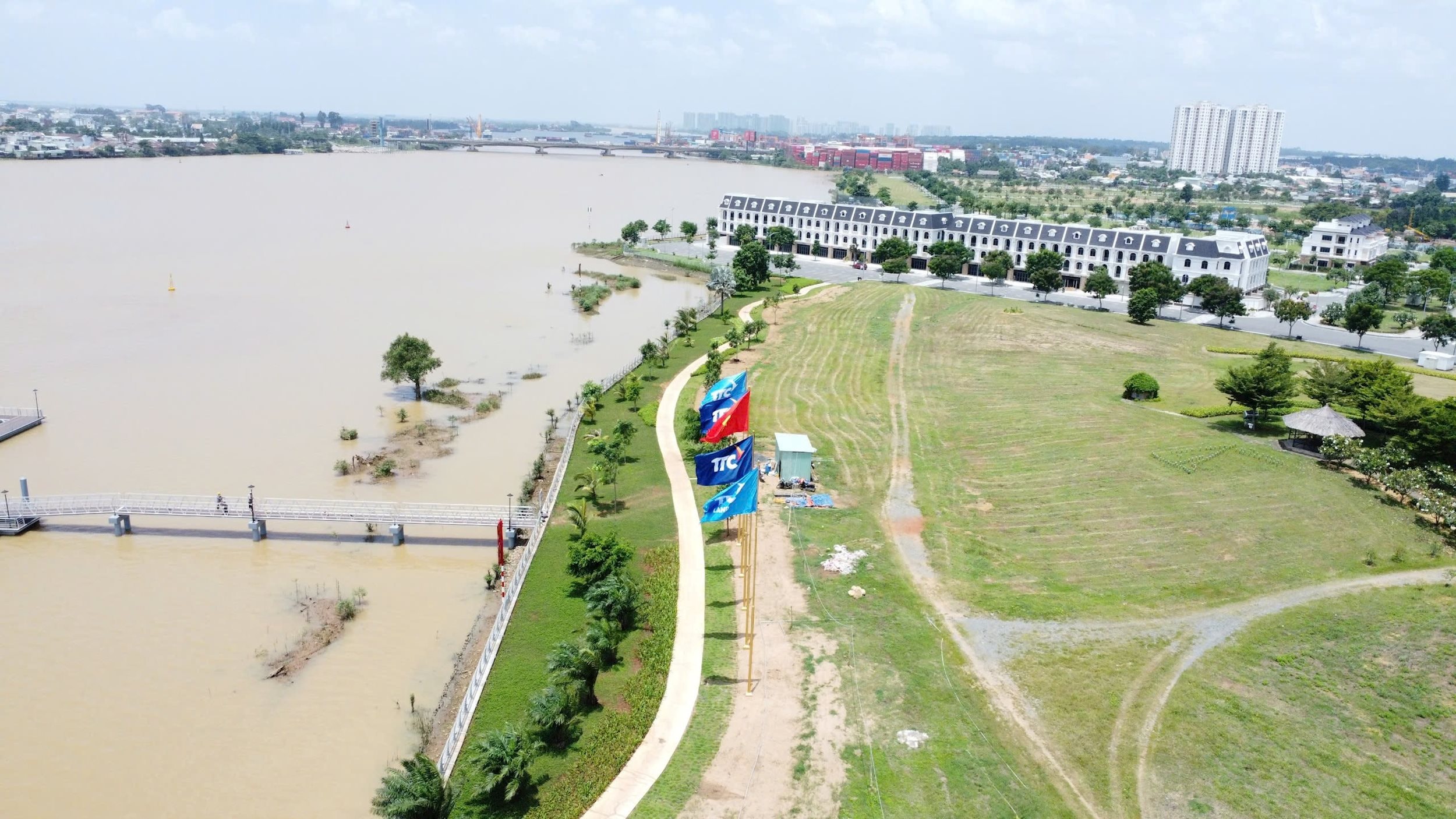
Specifically, take Dong Nai River as the axis of dynamic economic development of the province. Inherit, maintain, optimize the structure of the canal network along Dong Nai River; build riverside roads; promote the construction of bridges across the river to strongly connect with Ho Chi Minh City. Protect and develop a balanced and reasonable green landscape along the entire riverside, combining selective service, urban, and eco-tourism development models. Harmoniously connect the riverside landscape with the inter-urban TOD route. Develop waterway traffic to serve tourism and civil use, along with diverse water recreation activities.
For the riverside areas of Dinh Quan and Tan Phu, focus on developing Tri An Lake Tourist Area and tourism service clusters following the model of eco-tourism and forest tourism associated with landscape protection, upstream forest protection, and water resource conservation.
The riverside area belongs to the old Vinh Cuu district, developing an ecological urban area, connecting with Tan Uyen urban area of Ho Chi Minh City, forming a dynamic urban line on both sides of the river.
The riverside area in the North of Bien Hoa, developing the urban center in Cu Lao and the area converting the function of Bien Hoa I Industrial Park, developing the urban area on both sides of the Dong Nai River.
The South Bien Hoa - North Long Thanh riverside area develops high-class, model urban - service areas, gradually dispersing the population from the central area and attracting residents from Ho Chi Minh City. The Nhon Trach riverside area develops new urban areas, tourism, trade, services, seaports. Preserve mangrove forests, organize open spaces, green areas, semi-submerged parks...
Source: https://daibieunhandan.vn/dong-nai-tap-trung-phat-trien-mo-hinh-kinh-te-ven-song-10390110.html

![[Photo] Solemn opening of the 1st Government Party Congress](https://vphoto.vietnam.vn/thumb/1200x675/vietnam/resource/IMAGE/2025/10/13/1760337945186_ndo_br_img-0787-jpg.webp)


![[Photo] General Secretary To Lam attends the opening of the 1st Government Party Congress](https://vphoto.vietnam.vn/thumb/1200x675/vietnam/resource/IMAGE/2025/10/13/1760321055249_ndo_br_cover-9284-jpg.webp)


Comment (0)