
In the early days of re-establishment of the province, with many difficulties, Phu Yen's economy had a low starting point compared to other provinces in the region; technical infrastructure in all sectors and key stages were weak and lacking; the staff, especially scientific and technical staff, economic management, state management in some areas, had not yet met the requirements of the renovation process. Today, Phu Yen has made remarkable progress, creating a foundation and driving force for the province's strong development in the future. These results were achieved thanks to the collective efforts of the Party Committee, government and people of Phu Yen province over many generations.
1. Natural conditions: Phu Yen is a coastal province in the South Central region, located in the East of Truong Son mountain range, with geographical coordinates: Northernmost point: 13 0 41'28"; Southernmost point: 12 0 42'36"; Westernmost point: 108 0 40'40" and Easternmost point: 109 0 27'47".

Map of Phu Yen province
The total natural area of the province is 5,023.4 km2 . The North borders Binh Dinh province, the South borders Khanh Hoa province, the West borders Gia Lai and Dak Lak provinces, the East borders the East Sea. Phu Yen is a coastal province in the South Central Coast, located in the East of Truong Son mountain range in the South Central Coast territory and belongs to the South Central economic region. Phu Yen has a relatively favorable geographical location and traffic for socio-economic development.
Phu Yen province has 9 district-level administrative units including:
- Tuy Hoa City
- Song Cau Town
- Dong Hoa Town
- Dong Xuan District
- Song Hinh District
- Son Hoa District
- Phu Hoa District
- Tay Hoa District
- Tuy An District
With 110 commune-level administrative units, including 21 wards, 6 towns and 83 communes.
Phu Yen's population is 876,619 people (2022), population density is 174 people/ km2 . There are 33 ethnic groups, including 32 ethnic minorities with 60,128 people (2020), accounting for 6.89% of the province's population.

Tuy Hoa rice granary. Photo by Tran Quy
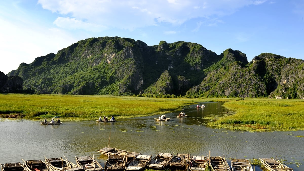
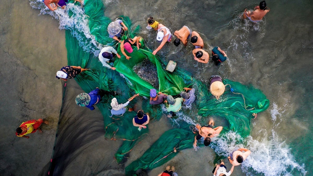
Phu Yen is located in a hot and humid, tropical monsoon climate zone, influenced by the oceanic climate and divided into two distinct seasons. The rainy season is from September to December and the dry season is from January to August, suitable for many types of food crops and flowers such as: rice, corn, beans, vegetables, melons, squash, pumpkins, potatoes, cassava, sugarcane...; growing well in Tay Hoa, Tuy An, Phu Hoa. Sugarcane is grown a lot in Song Hinh, Son Hoa, Dong Xuan, Tuy An, and Tay Hoa. Coconut is an industrial crop grown a lot in Song Cau. Son Hoa district has tens of thousands of hectares of forest with many precious woods such as: Bang Lang, Chang Ga, Con, Ba Thua, Cho, Go, Son, Kien Kien, Lim, Trac, ... and many types of animals such as: bears, deer, mang, deer, cheo, weasels, rabbits, porcupines, ...; is the place to develop industrial crops such as: coffee, cashew, tobacco and many kinds of fruit trees (pineapple, jackfruit, banana, orange, grapefruit, ...). The coastal areas of Song Cau, Tuy An, Dong Hoa have a lot of shrimp, fish, crab, squid, .... O Loan lagoon has a lot of blood cockles, oysters ...
2. Natural resources
Phu Yen's soil resources are quite diverse in groups, the soil types are distributed on many different terrains, creating agricultural and forestry ecological sub-regions suitable for many types of crops, especially perennial crops in mountainous areas. There are 8 main soil groups: The red-yellow soil group is the soil group with the largest area with 336,579 ha, accounting for 66.71%; the sandy soil group is 15,009 ha, accounting for 2.97%; the saline and alum soil group is 7,899 ha, accounting for 1.57%; the alluvial soil group is 55,752 ha, accounting for 11.05%; the gray soil group is 39,552 ha, accounting for 7.84%; the black soil group is 18,831 ha, accounting for 3.73%; the red-yellow soil group on the mountains is 11,300 ha, accounting for 2.5%; the steep valley soil group is 1,246 ha. Other land types 21,192 ha, accounting for 4.21%.

Hung Vuong Bridge, an important link from Vung Ro to Tuy Hoa City. Photo by Son Hai
Phu Yen has a river system distributed relatively evenly throughout the province, the rivers all originate from the East of the Truong Son range, flowing on hilly and mountainous terrain in the middle and upper reaches, narrow plains in the lower reaches and then flowing into the sea. Phu Yen has over 50 large and small rivers, notably 3 main rivers: Ky Lo River, Ba River, Ban Thach River with a total basin area of 16,400km 2 , total flow of 11.8 billion m 3 , serving irrigation water for agriculture, hydropower and daily life of Phu Yen people.
Surface water resources : The river and stream network in Phu Yen mostly originates from the Truong Son mountain range in the West, the Cu Mong range in the North and the Ca Pass range in the South. The province's rivers and streams are often short and steep, so the flow rate is high. The Ba River has the largest reserve in the province, with an annual flow of 9.7 billion m3 . The Ban Thach River has a total flow of 0.8 billion m3 /year. The Ky Lo River is the second largest river in the province, with a basin area of 1,950 km2 , of which the part within the province is 1,560 km2 .
Groundwater resources : The natural dynamic reserves exploiting the potential of the province's groundwater resources are about 1.2027 x 10 6 m 3 /day.
Mineral water : Mineral water resources in Phu Yen are quite abundant. In the province, there are 4 hot mineral water points in Son Thanh (Tay Hoa district), Tra O, Triem Duc (Dong Xuan district) and Phu Sen (Phu Hoa district).
The whole province has 3 main forest types: evergreen broadleaf closed forest, this is the common forest type in Phu Yen, accounting for 96.5% of the natural forest area; deciduous forest (dipterocarp forest), this forest type accounts for 3.5% of the natural forest area of the whole province; planted forest, currently has 20,963.0 ha of planted forest and about 8.4 million scattered trees (equivalent to 4,200 ha), including main tree species such as Acacia auriculiformis, Acacia, Casuarina, Cashew, Dipterocarpus, Black star, Red wood, Black muong, Rosewood and some other species. The flora and fauna of Phu Yen forest is quite rich with 43 bird families with 114 species ( including 7 rare species ). Mammals have 20 families with 51 species ( including 21 rare species ), reptiles have 3 families with 22 species ( including 2 rare species ).
Phu Yen has a unique forest ecology, such as the Nature Reserve, the special-use forest of Krong Trai. This is a very favorable condition for the development of diverse forest ecotourism services. At the same time, it has a competitive advantage in the production and trading of construction materials, with rich mineral resources of many different types such as: Diatomite, Granite, Placer Gold, Aluminum (Bauxite), Iron, Flourite, Titanium... scattered in many areas of the locality.
With a 189 km long coastline, there are many bays, beaches, lagoons, and rocky outcrops with wild beauty, creating rich and diverse ecological landscapes, which are great potential for sea tourism, resort tourism, and ecotourism. In addition, Phu Yen has many brackish water tidal flats, estuaries, lagoons, and bays, which are very favorable for developing aquaculture for export. This is the potential and advantage for Phu Yen to develop its marine economy.
3. Infrastructure
Phu Yen has National Highway 1A and the North-South railway running through it, National Highway 25 connecting Gia Lai province, National Highway 29 connecting Dak Lak province, and in the South there is Vung Ro seaport and Tuy Hoa airport. The North-South, East-West traffic routes, seaports, airports, Deo Ca and Deo Cu Mong tunnels... have a great impact on the socio-economic development process, creating conditions for cooperation and economic and cultural exchange between Phu Yen and other provinces in the region, the whole country and internationally.

The construction of the Deo Ca road tunnel has contributed to breaking the "oasis" status of Phu Yen, creating momentum for the development of road trade. Photo: Phu Yen Newspaper
On the other hand, Phu Yen is located in the area of influence of the Central key economic region. Among the South Central Coast provinces, Phu Yen has the most favorable conditions for building a railway to the Central Highlands. This is one of the favorable conditions for Phu Yen to become a hub for economic exchange between the North and the South and the East and the West. Specifically: Road traffic , with a widespread traffic network, including National Highway 1A, National Highway 1D, National Highway 25, National Highway 29 and provincial roads connecting the plains with the mountainous areas. There is a western traffic axis connecting 03 mountainous districts of Phu Yen with Van Canh district (Binh Dinh province) and Ma D'rak district (Dak Lak province); there is a coastal traffic axis located on the coastal road of Vietnam connecting coastal and coastal districts; Railway traffic , with the North-South railway line passing through with a length of 117km, there are 2 main stations Tuy Hoa and Dong Tac, in the future when the railway line to the Central Highlands is formed, it will open up prospects for cooperation and trade of goods between Phu Yen and the Central Highlands provinces; Aviation , Phu Yen has Tuy Hoa airport, 5km southeast of Tuy Hoa city, the airport area is 700ha, currently upgrading Tuy Hoa airport according to 4C standards; Vung Ro port, Vung Ro is a deep-water seaport that can receive ships with a capacity of 30,000 DWT.
4. Cultural heritage – Tourism resources
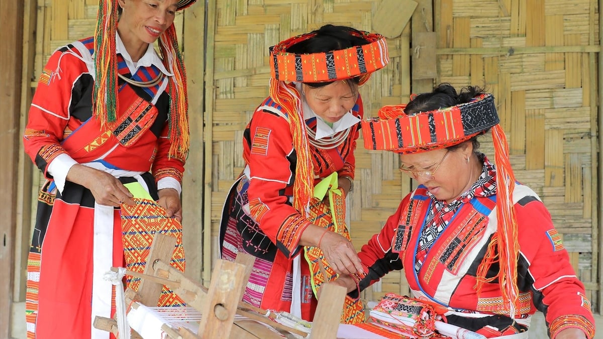
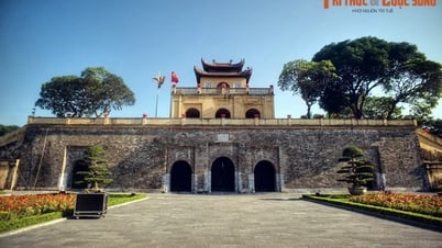
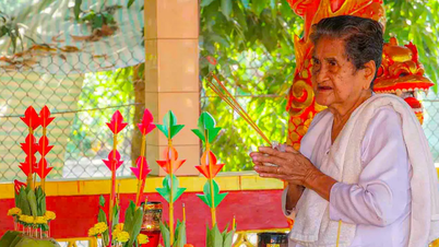
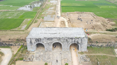
Phu Yen is a province in the South Central Coast, a land with a rich history and culture, playing a very important role in the development process of the Vietnamese people. Currently, there are 84 relics in the province. Of which, 1 relic is ranked as a special national relic, 21 national relics and 62 provincial relics. The whole province has 185 intangible cultural heritages inventoried, of which 4 heritages have been included in the list of National Intangible Cultural Heritages by the Ministry of Culture, Sports and Tourism (Art of Bai Choi; Fishing Festival; Art of performing double drums, three gongs, five gongs; Coming of Age Ceremony of the Ede people). In particular, the art of Bai Choi in Phu Yen province, along with Bai Choi in Central Vietnam, has been recognized by UNESCO as a representative intangible cultural heritage of humanity.

Nhan Tower (Tuy Hoa city). Photo by Nguyen Viet Dung
Along with the system of tangible cultural heritage, Phu Yen also preserves and promotes many intangible cultural heritages with many diverse and rich forms such as: Traditional festivals, folk games, folk songs and dances; especially the Cau Ngu festival of coastal fishermen and the performing arts of Double Drum, Three-Wheel Gong, Five-Wheel Gong of the Cham and Bana ethnic groups in the mountainous areas of Phu Yen, which are recognized as national intangible cultural heritages. Phu Yen also has festivals related to historical figures (Luong Van Chanh, Le Thanh Phuong), religious festivals, beliefs, etc.

Double Drum, Triple Gong, Five-Wheel Festival in Dong Xuan District to Celebrate the Spring of the Year of the Pig 2019
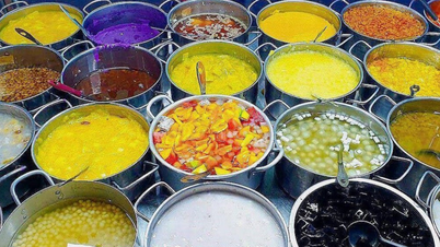
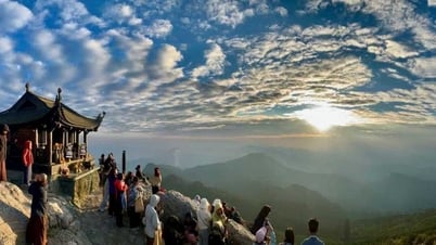
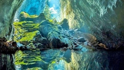
In terms of natural landscape, Phu Yen also owns many large beaches, clear blue water, fine sand stretching nearly 200km of coastline, associated with many lagoons, bays of beautiful natural landscapes, highlighting unique geological formations such as Ganh Da Dia, Hon Yen, Xuan Dai Bay, O Loan lagoon, Bai Xep, Bai Mon - Mui Dien, Vung Ro, Da Bia mountain, Hon Nua. In addition, thanks to the favorable natural conditions, Phu Yen has many culinary cultural specialties such as O Loan blood cockles, jumping snails, Cu Mong lagoon crabs, tuna, Hoa Da pork intestine rice paper, one-sun beef, shrimp, squid, coastal and freshwater fish products that play an important role in creating an impression on tourists....

Program to introduce Phu Yen ocean tuna in Can Tho. Photo: Internet source
![[Photo] First training session in preparation for the parade to celebrate the 80th anniversary of National Day, September 2nd](https://vphoto.vietnam.vn/thumb/1200x675/vietnam/resource/IMAGE/2025/6/25/ebf0364280904c019e24ade59fb08b18)

![[Photo] General Secretary To Lam works with the Standing Committee of Quang Binh and Quang Tri Provincial Party Committees](https://vphoto.vietnam.vn/thumb/1200x675/vietnam/resource/IMAGE/2025/6/25/6acdc70e139d44beaef4133fefbe2c7f)


![[Photo] More than 124,000 candidates in Hanoi complete procedures for the 2025 High School Graduation Exam](https://vphoto.vietnam.vn/thumb/1200x675/vietnam/resource/IMAGE/2025/6/25/fa62985b10464d6a943b58699098ae3f)


Comment (0)