

From the night of June 1 to 3, the low pressure with an axis of about 25 - 28 degrees North latitude connecting with the hot low pressure area in the west tends to develop and expand to the southeast, Hai Duong area has changing clouds, hot sunny days, south wind level 2, then sunny in some places, highest temperature 38 degrees Celsius.
From about June 4 to 11, the low pressure trough was compressed by the continental high pressure in the north, gradually moving south and filling up. The weather in Hai Duong was cloudy to mostly cloudy, sunny during the day, the temperature during the day fluctuated from 27 to 34 degrees Celsius, with scattered showers and thunderstorms in the evening and at night.
From June 6 to 8, there will be rain in some areas of the province. Thunderstorms may include tornadoes, lightning, hail and strong gusts of wind.
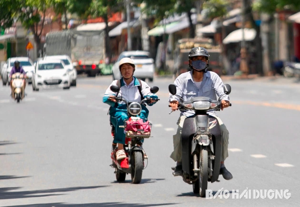
On June 1, Hai Duong area experienced widespread heat with the highest temperature of 37 - 38 degrees Celsius. This is the hottest day since the beginning of the year.
Experts warn that hot days can cause explosions and fires due to increased electricity demand. From 10am to 2pm every day, people, especially children and the elderly, should limit going out, wear loose, thin clothes, and drink plenty of water. People who work outdoors should limit prolonged exposure to high temperatures to reduce the risk of heat stroke.
Students of many grades are on summer vacation. During hot days, they often like to go swimming in swimming pools, ponds, rivers and streams. Adults need to manage and closely supervise their children to minimize the risk of drowning.
TMSource: https://baohaiduong.vn/hai-duong-nang-nong-dien-rong-nhet-do-cao-nhat-38-do-c-412927.html


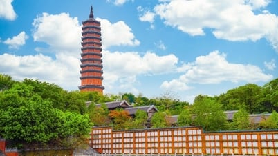
![[Photo] President Luong Cuong's wife and Queen of Bhutan visit Tran Quoc Pagoda](https://vphoto.vietnam.vn/thumb/1200x675/vietnam/resource/IMAGE/2025/8/19/62696af3852a44c8823ec52b03c3beb0)
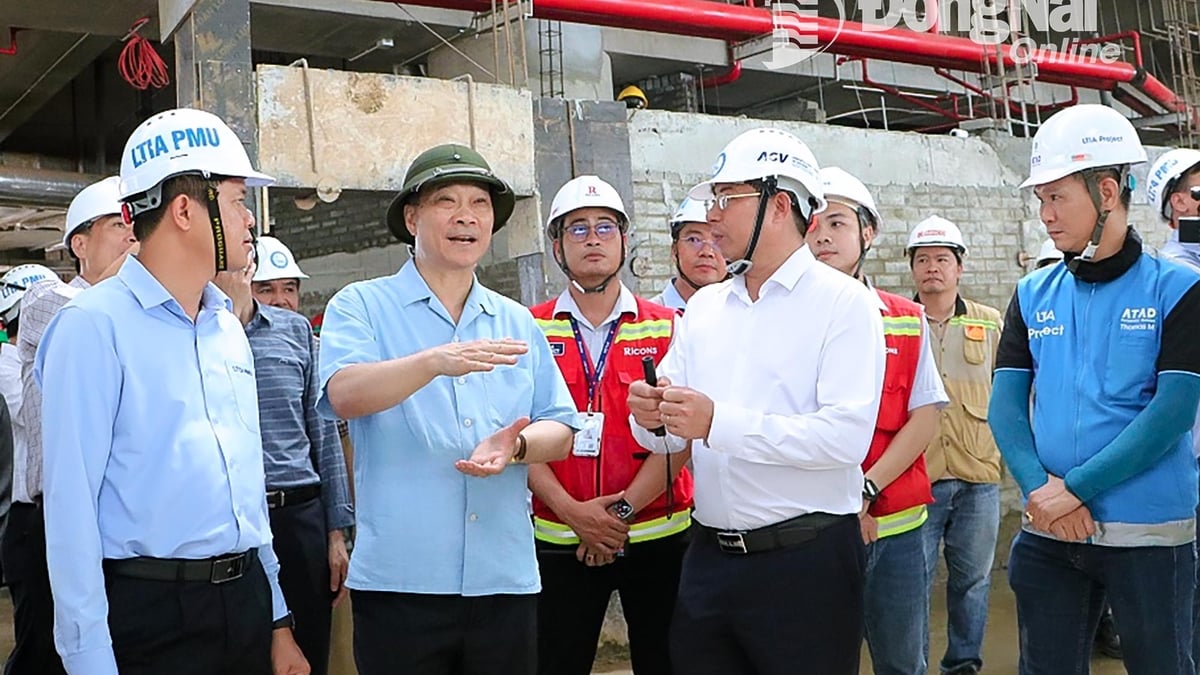
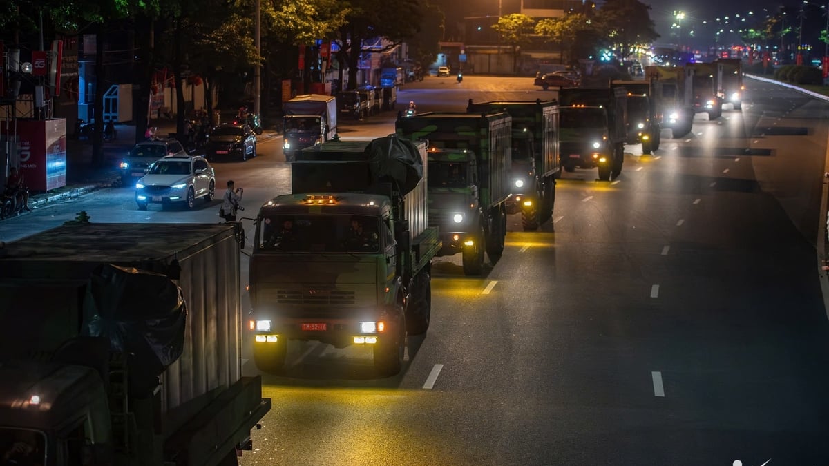
![[Photo] General Secretary To Lam attends the inauguration and groundbreaking ceremony of 250 projects to celebrate National Day](https://vphoto.vietnam.vn/thumb/1200x675/vietnam/resource/IMAGE/2025/8/19/3aa7478438a8470e9c63f4951a16248b)
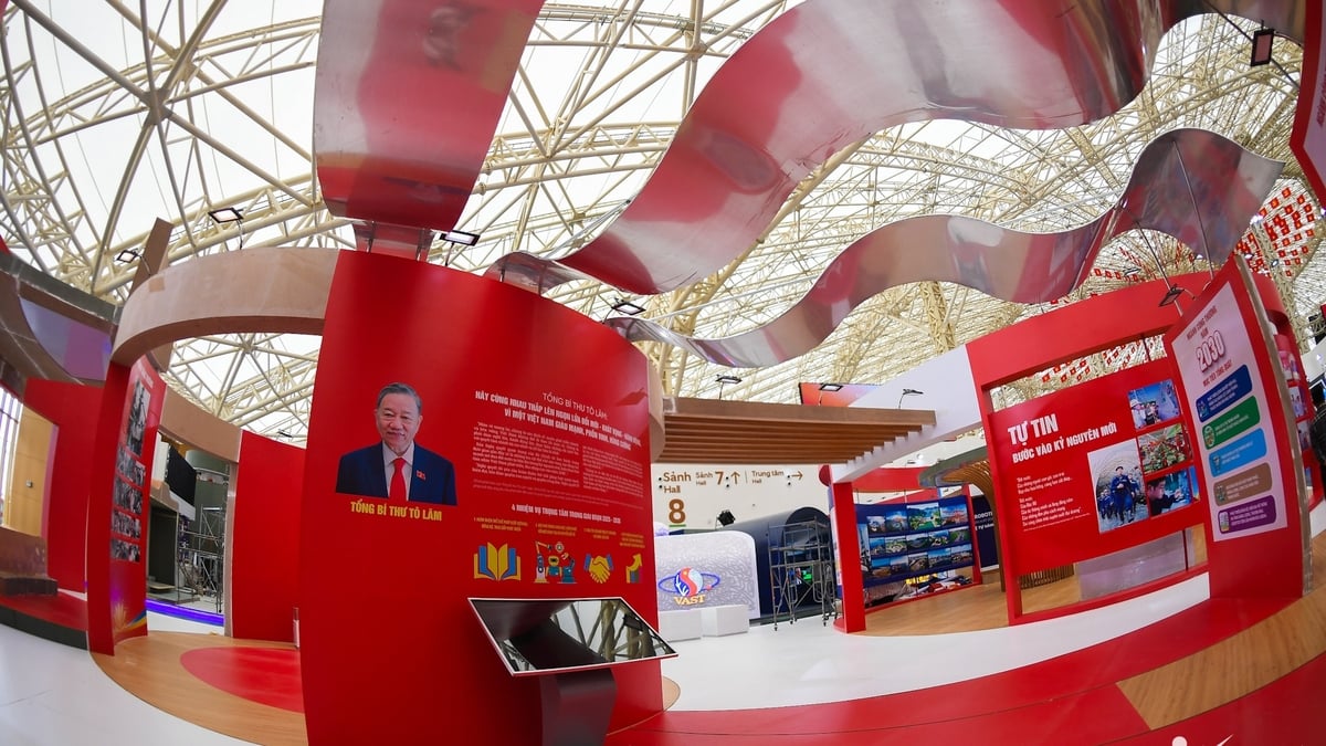
![[Photo] General Secretary and Prime Minister visit the National Exhibition and Fair Center](https://vphoto.vietnam.vn/thumb/1200x675/vietnam/resource/IMAGE/2025/8/19/f4503ad032d24a90beb39eb71c2a583f)

![[Photo] Politburo works with the Standing Committee of Da Nang City Party Committee and Quang Ninh Provincial Party Committee](https://vphoto.vietnam.vn/thumb/1200x675/vietnam/resource/IMAGE/2025/8/19/b1678391898c4d32a05132bec02dd6e1)
![[Photo] General Secretary To Lam attends the 80th Anniversary of the Government's Founding](https://vphoto.vietnam.vn/thumb/1200x675/vietnam/resource/IMAGE/2025/8/20/3375b78559fa4d558776197d684b8356)


![[Maritime News] Maersk announces positive results in the first half of 2025](https://vphoto.vietnam.vn/thumb/402x226/vietnam/resource/IMAGE/2025/8/20/d9f3704e9e8647a0ade1f6e2309d75d1)


Comment (0)