

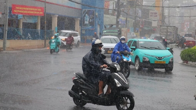
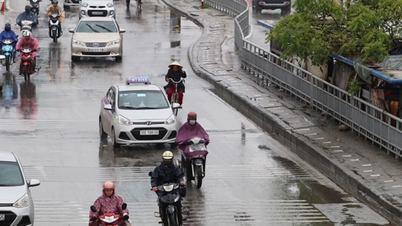
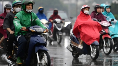
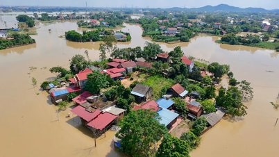
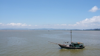
According to information from the National Center for Hydro-Meteorological Forecasting, last night and early this morning, October 13, the area from Quang Tri to Da Nang had showers and thunderstorms, some places had heavy rain. The amount of rain measured from 7:00 p.m. on October 12 to 3:00 a.m. on October 13 in Vinh Linh (Hue City) was 66.2mm, An Tay (Hue City) was 50.4mm...
The National Center for Hydro-Meteorological Forecasting said that during the day and tonight, October 13, the rain band will expand across all three regions. From Quang Tri to Lam Dong and the South, there will be scattered showers and thunderstorms, with rainfall ranging from 10-30mm in general, exceeding 80mm in some places, concentrated in the afternoon and evening. This afternoon and tonight, the Northeast region and the area from Thanh Hoa to Ha Tinh will have moderate rain, with heavy rain in some places, with rainfall ranging from 15-40mm, locally exceeding 70-80mm.
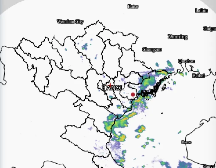
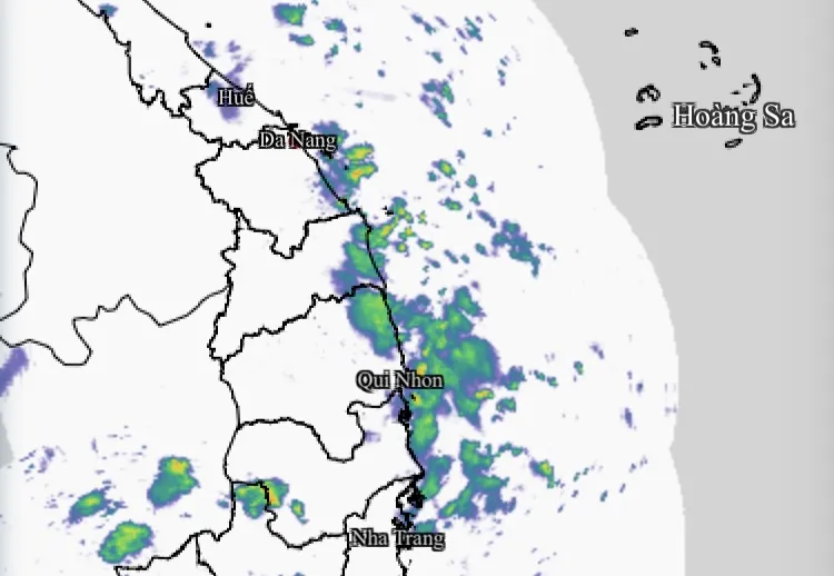

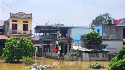
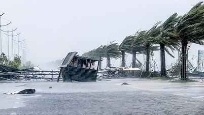
The cause of this widespread rain was determined to be the simultaneous impact of three factors: a weak cold air mass flowing down to the North, a tropical convergence zone across the Central region, and strong activity of the Southwest monsoon bringing moisture from the sea to the South. The cold air only plays a triggering role, while the wind convergence and the Truong Son mountain range terrain cause the rain to intensify and last longer.
The Department of Hydrometeorology also warned of this rain. The meteorological agency forecasts that in the next 1-2 days, the rain will continue over a large area, then gradually decrease in the North but still remain in the Central and South in the afternoons and evenings.
Source: https://www.sggp.org.vn/hom-nay-13-10-ca-3-mien-co-mua-post817731.html

![[Photo] Solemn opening of the 1st Government Party Congress](https://vphoto.vietnam.vn/thumb/1200x675/vietnam/resource/IMAGE/2025/10/13/1760337945186_ndo_br_img-0787-jpg.webp)


![[Photo] General Secretary To Lam attends the opening of the 1st Government Party Congress](https://vphoto.vietnam.vn/thumb/1200x675/vietnam/resource/IMAGE/2025/10/13/1760321055249_ndo_br_cover-9284-jpg.webp)


Comment (0)