

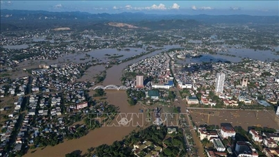
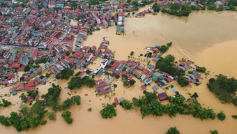
Specifically, 4-seat or low-chassis cars from Thai Nguyen to Hanoi city go through Yen Binh overpass (Thai Nguyen) to Phuong Tre red light intersection, turn right to Xuan Cam bridge (Da Phuc commune, Hanoi city) to get to Hanoi - Thai Nguyen Expressway (Bac Phu intersection, Da Phuc commune and go to Soc Son)
For high-chassis vehicles, trucks, and passenger cars can go.
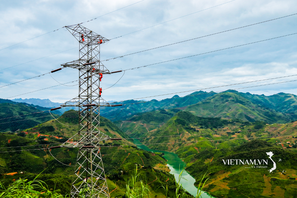
Currently, the road authorities and traffic police are regulating VOV warnings and exchanging and coordinating with Thai Nguyen traffic police to guide vehicles to go to branch roads to avoid flooded areas.
Source: https://baotintuc.vn/kinh-te/huong-dan-lo-trinh-tranh-diem-ngap-tren-cao-toc-ha-noi-thai-nguyen-20251010124604648.htm

![[Photo] Opening of the World Cultural Festival in Hanoi](https://vphoto.vietnam.vn/thumb/1200x675/vietnam/resource/IMAGE/2025/10/10/1760113426728_ndo_br_lehoi-khaimac-jpg.webp)

![[Photo] Unique Phu Gia horse hat weaving craft](https://vphoto.vietnam.vn/thumb/1200x675/vietnam/resource/IMAGE/2025/10/10/1760084018320_ndo_br_01-jpg.webp)
![[Photo] Ho Chi Minh City is brilliant with flags and flowers on the eve of the 1st Party Congress, term 2025-2030](https://vphoto.vietnam.vn/thumb/1200x675/vietnam/resource/IMAGE/2025/10/10/1760102923219_ndo_br_thiet-ke-chua-co-ten-43-png.webp)


Comment (0)