

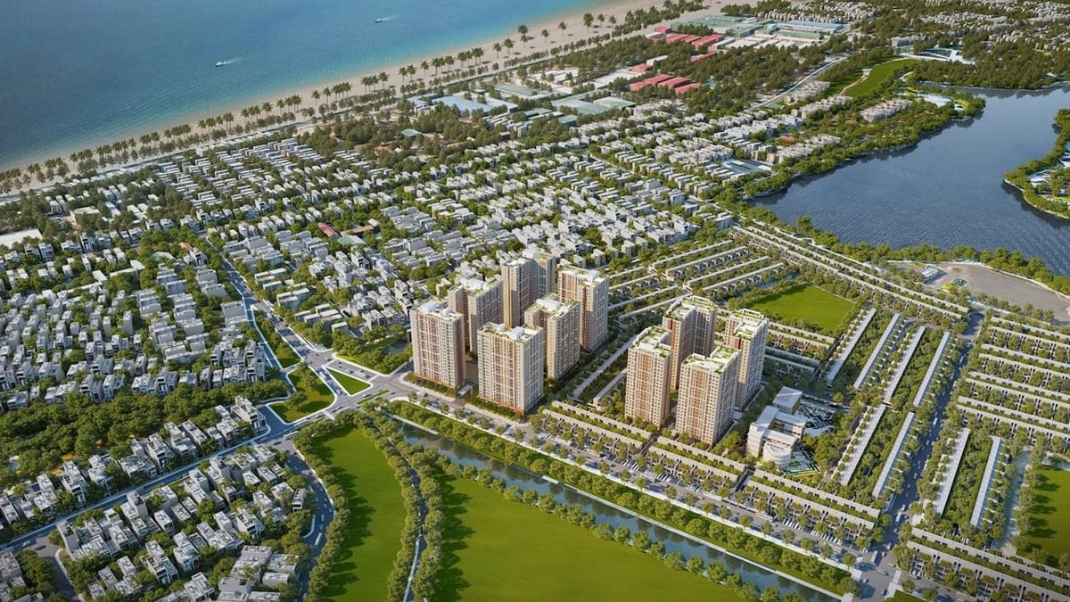
Land use planning diagram of the new residential development area north of Duong Minh Chau town center park.
According to Mr. Le Trung Kien - Deputy Head of the District Economic and Infrastructure Department, the new residential area north of the town's central park has an area of over 134,000m2. The East borders agricultural land and existing residential areas; the West borders the town park and Da Vang stream; the South borders residential areas along DT.781 road and the North borders agricultural land.
The planning project includes: newly developed residential areas, commercial and service buildings, community cultural houses, medical stations, kindergartens, parks, landscape trees, parking lots and technical infrastructure. This is the premise towards building Duong Minh Chau town into a type IV urban area in the near future.
Speaking at the conference, Mr. Trinh The Giao - Chairman of Duong Minh Chau Town People's Committee said that he will continue to coordinate with relevant organizations and units to propagate and disseminate the content of the Planning Project to the people; coordinate with agencies and units to well perform the functions and tasks of state management on planning, ensuring compliance with the correct procedures and laws, especially in site clearance work, creating consensus and support from the people.
Bach Le
Source link


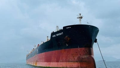
![[Maritime News] More than 80% of global container shipping capacity is in the hands of MSC and major shipping alliances](https://vphoto.vietnam.vn/thumb/402x226/vietnam/resource/IMAGE/2025/7/16/6b4d586c984b4cbf8c5680352b9eaeb0)


Comment (0)