
Mo Nong Plateau! Just hearing the name makes you feel poetic and charming and want to explore . This is the wild and mysterious "territory" of the Mo Nong people since ancient times.
Today, the reclaimed land on the nation's journey to the South with Dak Nong Global Geopark is opening up a beautiful prospect when it integrates into becoming a part of Lam Dong province, the largest province in the country.
New land
Every time I set foot in this pure paradise, I feel like I am reliving the magical legends with the extraordinary warriors of the mountains and forests...
The Mo Nong Plateau is a long-standing residential area of the Mo Nong ethnic group, partly the Stieng people, later the Ede and Ma people. With a total area of about 15,000 km2, the plateau has an average altitude of 800 - 1,000 m above sea level. Stretching and gradually sloping from east to west, the plateau is about 500 km long, from the Lang Biang mountain range of Lam Dong to the Kratie and Stung Treng plains in northeastern Cambodia. From north to south, from the Serepok River in Buon Don ( Dak Lak ) down to Bu Dang, the plateau is 300 km wide. The terrain is strongly fragmented, alternating high mountains with undulating and plains, low-lying areas. Geologists compare the terrain of the Mo Nong Plateau to "the roof of the southernmost tip of Indochina".
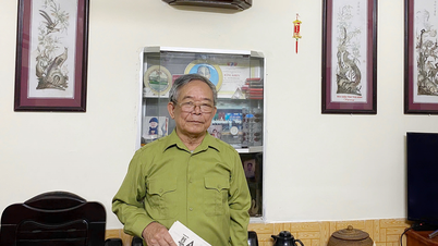
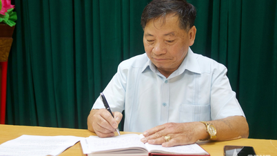
Researcher Y Thịnh Bon Jôc Ju is one of the rare great intellectuals of the Mông. Since his youth, he worked as a liaison for the revolution during the resistance war against the US, was sent to the North to study and returned to serve his homeland after the country was peacefully unified. After retiring from his position as Vice Chairman of the People's Committee of Đắk Nông Province (formerly), he spent time traveling across the Mông plateau to learn, collect and research about his ethnic group. His elaborate and dedicated book "Não Rih Sjêng BuNoong" (History of Mông Culture, Dân trí Publishing House) published in 2023 and reprinted in 2024 is considered a handbook about the Mông ethnic group.
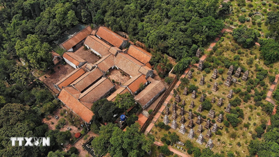
It was a stroke of luck that writer Dang Ba Canh and journalist Canh Phuong introduced me to meet the "village elder" Y Thinh Bon Joc Ju. Taking us to visit some cultural sites, researcher Y Thinh said that about 140 million years ago, the Mo Nong plateau was still at the bottom of the sea, as evidenced by the remaining traces of sedimentary rocks, ammonite fossils and many other types of fossils. Later, due to tectonic movements of the earth's crust, volcanoes appeared, and this area was raised to become land. Lava from volcanic eruptions covered half of the area, forming a large, rich, fertile red basalt land for the plateau. Volcanic activity created a unique and massive cave system, one of the largest in Southeast Asia, and in these caves, many traces of prehistoric human habitation dating back tens of thousands of years were found.
Researcher Y Thinh also told us that in the past, due to the rugged terrain, the Mo Nong plateau had only one west-east trail connecting it to the outside world, from Kratie in Cambodia to the Dak Lak border area. This pedestrian trail could be used by car during the dry season. Inland, the plateau had a north-south trail, following the watershed between the Dong Nai River and the Be River to go down to the Southeast Delta.
Potential of sacred mountain
In the legend of “Dak Leng - Dak Dong” (Great Flood), the M’Nong people say that thousands of years ago, the sun was shining with beautiful rays of sunshine when suddenly clouds gathered, the sky collapsed, making the ground pitch black. 67 days later, thunder and lightning began to rumble and rain poured down. Heavy rain pounded the ground for 179 days and nights. The water rose with explosions that shook the sky and earth. Mountains collapsed. Animals groaned and screamed. Primitive people (Bunun) crawled out of caves and ran to the highest mountain top, begging: “Prah Dak, irôi - irôi - irôi - irôi!” (God of water, stop it - stop it - stop it - stop it!). While rising near the top of the mountain, the flood stopped. From then on, the mountain was called Nâm Ndir. The survivors looked around and saw only black water. Fish as big as hills swam and ate the corpses of people and wild buffaloes. Looking further, they saw some more mountains:
"Nam Nung Mountain is as big as an eagle's wing
Nam Sjang Mountain is as big as a hand.
Nam Uc and Nam Klo mountains are half the size.
snail”…
According to researcher Y Thinh, this is the ancient explanation for the appearance of mountains that symbolize the Mo Nong plateau. Of which, Nam Nung is the most typical mountain, considered the roof of the plateau, with a peak of more than 1,500 m. The Mo Nong plateau is mainly located in Dak Nong province (old), plus a part of Dak Lak, Lam Dong, Binh Phuoc and the northeastern provinces of Cambodia. Therefore, the "water gourd" of Dak Nong is also the Mo Nong plateau and is an inseparable part of the Mo Nong ethnic group. Dak Nong province, together with Lam Dong and Binh Thuan provinces, have merged into a new Lam Dong province with the largest area among 34 provinces and cities in the country, opening up new and promising development opportunities for the potential Mo Nong plateau.
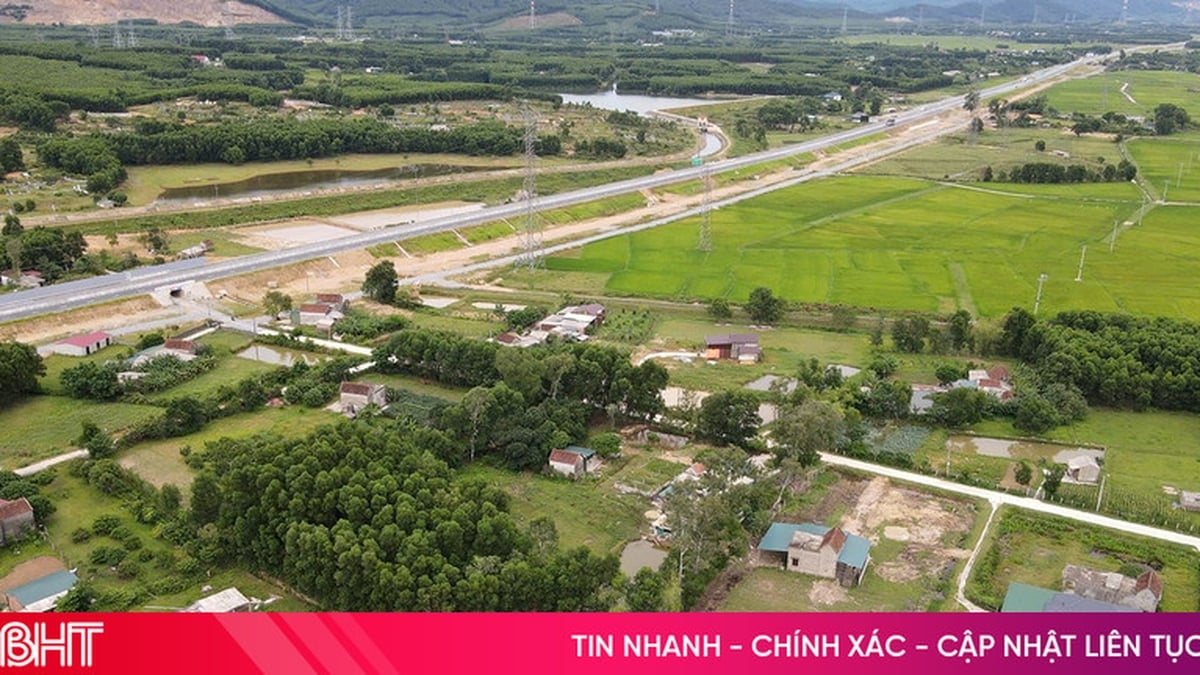
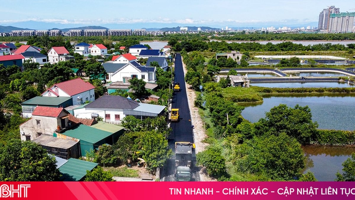
Today, in addition to National Highway 14, there are many roads connecting the Mo Nong plateau with other regions, not to mention Buon Ma Thuot airport which also serves the Central Highlands.
Source: https://baolamdong.vn/linh-thieng-cao-nguyen-mo-nong-383667.html


Comment (0)