
On the morning of October 2nd, the Department of Geology, Faculty of Science (Vietnam National University, Hanoi) organized a scientific workshop titled "The Lang Nu Disaster - Causes and Prevention Solutions".
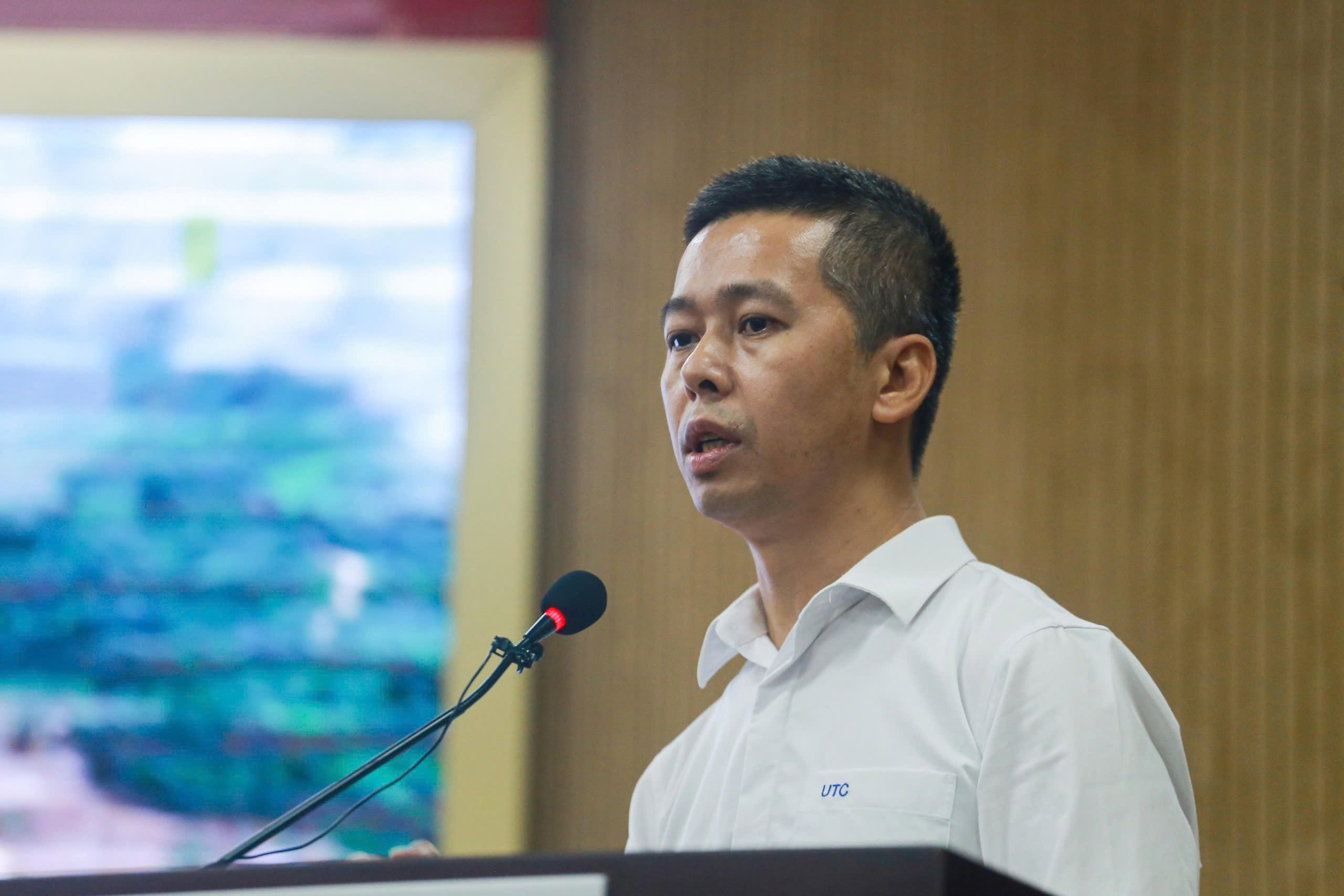
Associate Professor Dr. Nguyen Chau Lan, Deputy Head of the Geotechnical Engineering Department, Faculty of Engineering, University of Transport and Communications, said that immediately after the disaster occurred in Lang Nu (Bao Yen, Lao Cai ), Professor Tran Thanh Ha, Rector of the University of Mining and Geology, and a group of scientists went to the site to survey and collect data there and in some key areas in Lao Cai.
"Initially, we determined that the cause of the Lang Nu disaster was a mudslide. Accordingly, up to 1.6 million cubic meters of mud, rocks, and water originating from the peak of Con Voi mountain, located 3.6km from Lang Nu, poured down onto Lang Nu village," Mr. Lan informed.
During the runoff, the mass of earth and rocks became blocked in a narrow area (only about 100m wide) about 2km from the landslide's origin point. This location inadvertently formed a natural dam, increasing the risk of flooding.
Associate Professor Dr. Nguyen Chau Lan stated that mudslides and rockfalls were the cause of the Lang Nu disaster. Photo: Binh Minh
At the time of the flood, the area experienced very heavy rainfall, with a total accumulated rainfall of up to 633mm, including 57mm of hourly rainfall, causing the mudslide to move extremely rapidly.
After inputting the data into the model, Mr. Lan received simulation results showing that the depth of mud accumulation was 8-15m, with the deepest point at about 18m, and the flow velocity was very high, up to 20 m/s. Therefore, the time it took for the mud to flow down from the mountain (for the entire 3.6km distance) was about 300 seconds (or 5 minutes).
"Nủ Village is located in the Con Voi mountain geological formation, where the rocks are heavily compressed and sloped at 40-50 degrees. Nủ Village lies on the Red River fault line, causing the soil and rocks in this area to have significantly reduced strength. This is an area at high risk of major landslides," Mr. Lân said.
According to Mr. Lan, the estimated volume of the landslide is up to 1.6 million cubic meters. This landslide originated from the peak of Con Voi mountain, about 3.6 km from Lang Nu village, and during its descent, it became blocked in a narrow area only about 100 meters wide, about 2 km from the landslide's origin point.
Mr. Lan believes that this flash flood is not an isolated incident, but has occurred in many places around the world . This includes the disaster that occurred in Seoul, South Korea in 2011.
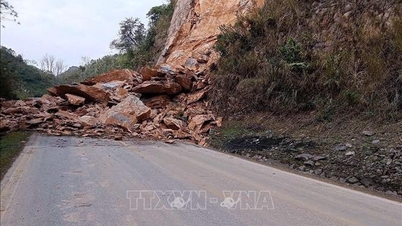
"Currently, mountainous provinces like Ha Giang and Lao Cai have seen the appearance of many geological cracks, giving authorities time to respond. One immediate solution is to cover the cracks with tarpaulins, combined with a horizontal drainage system, to prevent water from seeping deep into the ground and limit the risk of landslides. This is a simple measure that localities can quickly implement, and then use other technical methods to address the cracks," said Associate Professor Dr. Nguyen Chau Lan.
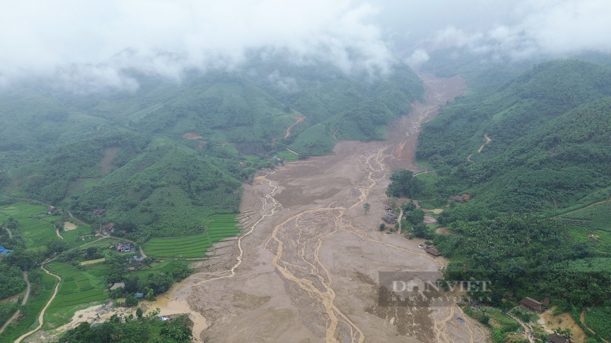
The village of Lang Nu, Phuc Khanh commune, Bao Yen district (Lao Cai province), with 35 houses and 128 inhabitants, was almost completely flattened after the devastating flash floods and landslides on the morning of September 10th. Photo: Pham Hung
To prevent similar disasters, Associate Professor Dr. Do Minh Duc (Faculty of Natural Sciences, University of Hanoi) suggested building a database and establishing a mapping system to identify high-risk areas. This should include notes on different types of landslides and flash floods.
Furthermore, rainfall is a major trigger for landslides. Current rainfall monitoring systems need higher density; early detection of extreme heavy rainfall; in-depth monitoring systems for slope stability; and improved forecasting accuracy through the application of big data analytics and artificial intelligence.
Strengthen early warning communication to ensure that authorities at all levels, especially people in landslide-affected areas, receive timely and accurate information and understand the necessary actions to take when required.
Source: https://danviet.vn/lu-quet-mang-16-trieu-m3-nuoc-va-dat-da-vui-lap-thon-lang-nu-chi-trong-5-phut-20241002160431459.htm


Comment (0)