
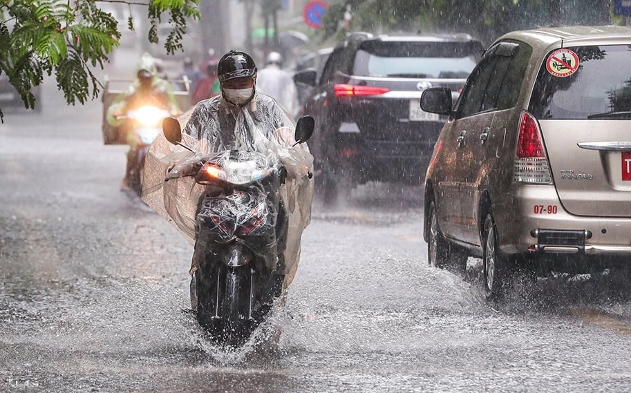
It is forecasted that from August 16 to the night of August 17, the Northeast region, Thanh Hoa and Nghe An will have moderate rain, heavy rain and thunderstorms with common rainfall of 50-120mm, locally very heavy rain over 250mm.
On the day and night of August 18, the Northeast region and Thanh Hoa to Ha Tinh continued to experience moderate rain, heavy rain and thunderstorms, locally very heavy rain with common rainfall of 30-60mm, some places over 150mm. The meteorological agency warned of the risk of heavy rain over 100mm in 3 hours, causing localized flooding in low-lying areas and flash floods and landslides in mountainous areas. During thunderstorms, there is a possibility of tornadoes, lightning, hail and strong gusts of wind.
In the Central Highlands and the South, there will also be moderate rain, heavy rain and thunderstorms today and tonight, with common rainfall of 30-60mm, in some places very heavy rain over 120mm.
In the Northwestern region, provinces/cities from Ha Tinh to Hue and the South Central Coast, there will also be scattered showers and thunderstorms in the afternoon and night of August 16, with localized heavy to very heavy rain with rainfall of 15-35mm, in some places over 80mm.
On the day and night of tomorrow (August 17), Ha Tinh and Quang Tri areas will have moderate to heavy rain with common rainfall of 30-60mm, locally very heavy rain over 100mm.
At sea today, the low pressure area is moving slowly in a north-northwest direction and is likely to strengthen into a tropical depression. Due to the influence of the low pressure area connecting with the tropical convergence zone, most sea areas across the country will have bad weather with strong winds of level 5-6, gusts of level 7-8, waves 2-3.5m high, rough seas.
Source: https://quangngaitv.vn/mien-bac-mien-trung-dinh-diem-mua-lon-6506170.html


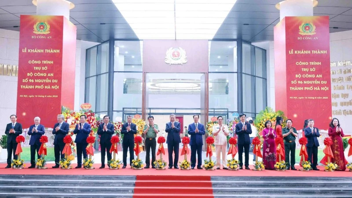
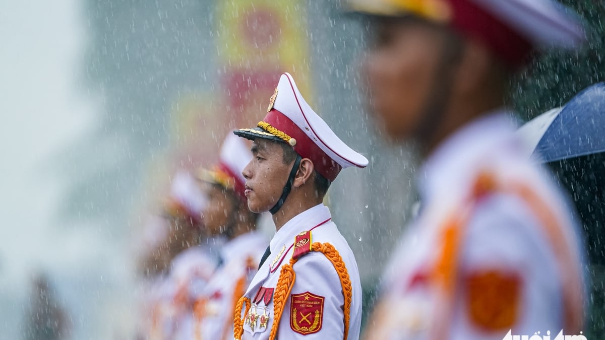
![[Photo] General Secretary attends the inauguration ceremony of the Ministry of Public Security Headquarters](https://vphoto.vietnam.vn/thumb/1200x675/vietnam/resource/IMAGE/2025/8/16/3ceec3a24ef945c18ae2b523563b749d)


![[Photo] “Moving forward with Vietnam” on the most romantic road in Vietnam](https://vphoto.vietnam.vn/thumb/1200x675/vietnam/resource/IMAGE/2025/8/16/0ee500bc59fd4468863261ee26f47fe7)

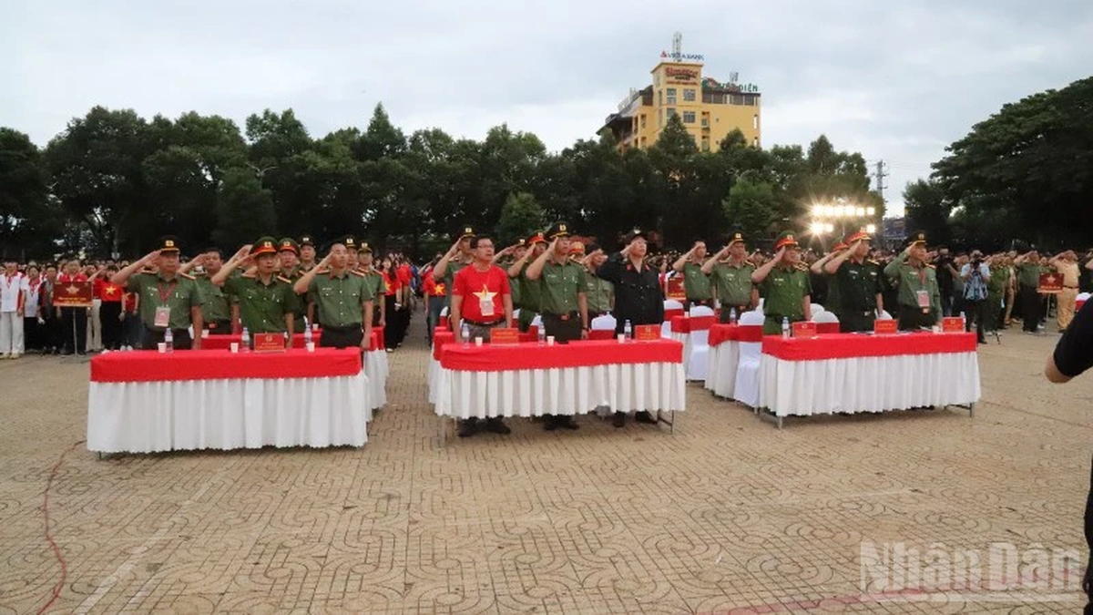
![[Photo] National Assembly Chairman Tran Thanh Man attends the program "Returning to the source - Towards the future"](https://vphoto.vietnam.vn/thumb/1200x675/vietnam/resource/IMAGE/2025/8/16/d081d9c162ee4ed9919e723aa322a53a)


Comment (0)