
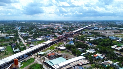
Overview of new route planning
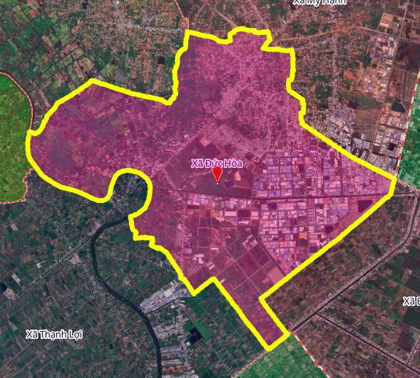
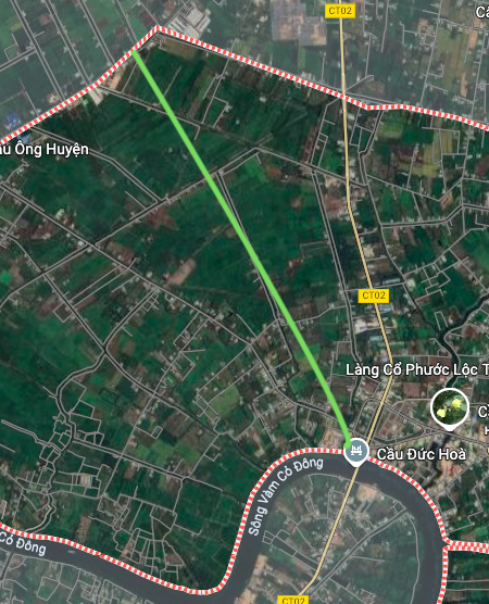
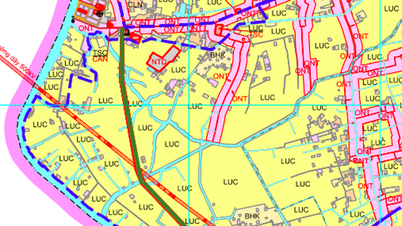
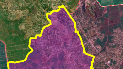
According to the Land Use Planning Adjustment Map for the period 2021 - 2030 of Duc Hoa district, Long An province, an important road is expected to be built in Duc Hoa commune. This road is about 3 km long, with the highlight being the bridge over the Vam Co Dong river.
This project is part of the transport infrastructure development plan of Duc Hoa district, aiming to strengthen regional connectivity and promote socio -economic development.
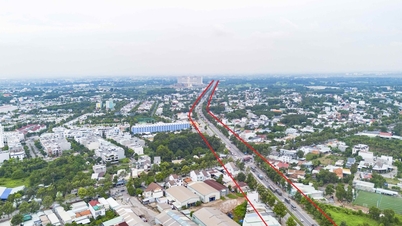
Route details
The planned route starts at Sa Ba Street, in Duc Hoa Commune. From here, the route will extend and cross the Vam Co Dong River near the existing Duc Hoa Bridge, connecting the two banks of the river and neighboring areas.
The formation of new roads and bridges is expected to shorten travel distances, facilitating trade and travel for people.
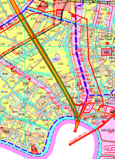
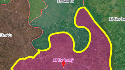
Note: Planning information is based on the Land Use Planning Adjustment Map for the period 2021 - 2030 of Duc Hoa district, Long An province. The route in the diagrams is for reference only and may change according to the adjustment decisions of the competent authority.
Source: https://baolamdong.vn/quy-hoach-duong-moi-3km-vuot-song-vam-co-dong-tai-duc-hoa-long-an-405659.html
![[Photo] President Luong Cuong attends the 50th Anniversary of Laos National Day](/_next/image?url=https%3A%2F%2Fvphoto.vietnam.vn%2Fthumb%2F1200x675%2Fvietnam%2Fresource%2FIMAGE%2F2025%2F11%2F27%2F1764225638930_ndo_br_1-jpg.webp&w=3840&q=75)


![[Photo] Prime Minister Pham Minh Chinh chairs the 15th meeting of the Central Emulation and Reward Council](/_next/image?url=https%3A%2F%2Fvphoto.vietnam.vn%2Fthumb%2F1200x675%2Fvietnam%2Fresource%2FIMAGE%2F2025%2F11%2F27%2F1764245150205_dsc-1922-jpg.webp&w=3840&q=75)


Comment (0)