
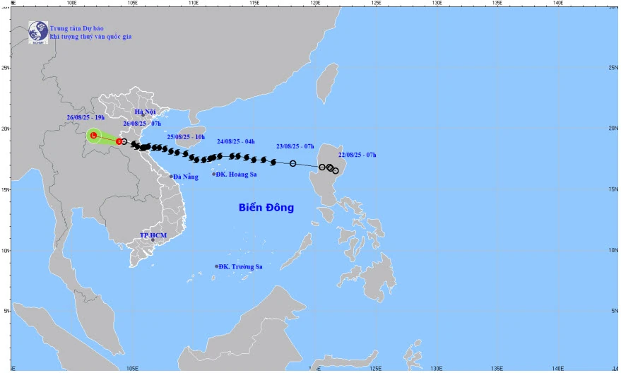
Map of storm No. 5's trajectory at 8:00 a.m. on August 26, 2025.
According to Mr. Nguyen Van Huong, Head of Weather Forecasting Department, National Center for Hydro-Meteorological Forecasting, at 7:00 a.m. on August 26, the center of the tropical depression was at about 18.9 degrees North latitude; 103.9 degrees East longitude, in the Central Laos area. The strongest wind near the center of the tropical depression was level 6 (39 - 49 km/h), gusting to level 8; moving in the West Northwest direction at a speed of about 20 km/h.
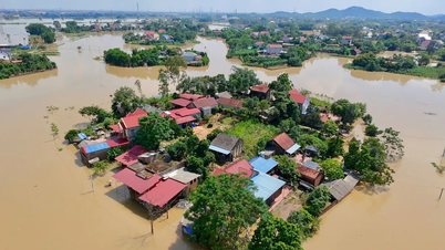
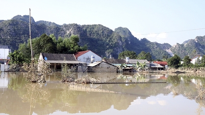
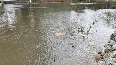
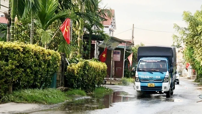
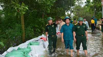
The Hydrometeorological Agency forecasts that in the next 12 hours, the tropical depression will continue to move in a West-Northwest direction, gradually weakening into a low-pressure area and dissipating. However, the post-storm circulation will continue to cause heavy rain in the Northern Delta and midland areas, Son La, Lao Cai , Thanh Hoa and Nghe An; strong winds and high waves in the Gulf of Tonkin will continue.
Mr. Nguyen Van Huong recommended that authorities and people in the above areas should pay attention to heavy rain forecasts and dangerous weather at sea to proactively respond.
“This is also the last news about storm number 5 - storm Kajiki,” Mr. Huong said.
Source baotintuc.vn
Source: https://baophutho.vn/tin-cuoi-cung-ve-bao-so-5-hoan-luu-sau-bao-gay-mua-lon-dien-rong-238568.htm


![[Photo] Solemn opening of the 1st Government Party Congress](https://vphoto.vietnam.vn/thumb/1200x675/vietnam/resource/IMAGE/2025/10/13/1760337945186_ndo_br_img-0787-jpg.webp)


![[Photo] General Secretary To Lam attends the opening of the 1st Government Party Congress](https://vphoto.vietnam.vn/thumb/1200x675/vietnam/resource/IMAGE/2025/10/13/1760321055249_ndo_br_cover-9284-jpg.webp)


Comment (0)