
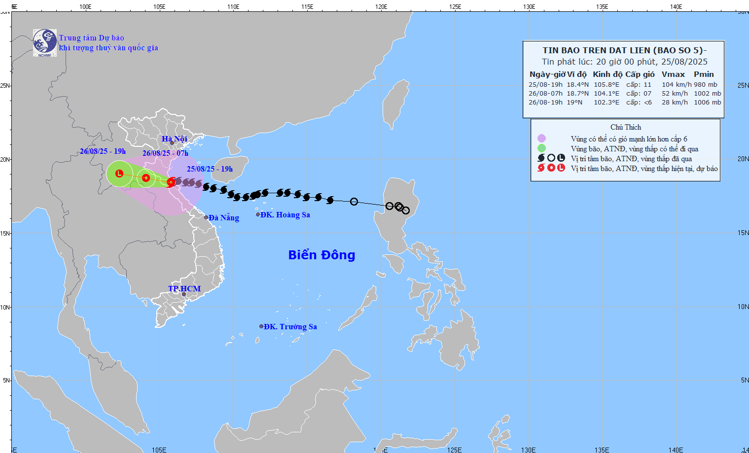
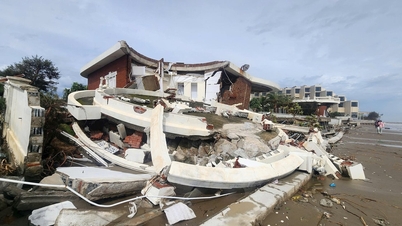
On the evening of August 25, storm No. 5 made landfall. At 7 p.m. the same day, the center of the storm was at about 18.4 degrees North latitude - 105.8 degrees East longitude, right on the mainland of the provinces of South Nghe An - North Ha Tinh . The strongest wind near the center of the storm was at level 10-11, gusting to level 13.
Strong gusts of wind, many places record
Before and during landfall, the storm caused extremely strong winds for the entire coastal area. Many monitoring stations recorded strong winds and high gusts, such as in Dien Chau ( Nghe An ) with strong winds of level 10, gusts of level 12; Cam Nhuong (Ha Tinh) with winds of level 9, gusts of level 12; and Hon Ngu (Nghe An) with winds of level 8, gusts of level 11.
Storm surge at Hon Ngu also reached 1.66m. Currently, coastal water levels in the Thanh Hoa - Ha Tinh region have peaked and are slowly falling with the tide.
The storm will weaken quickly, but very heavy rain will continue.
The storm is forecast to move west-northwest at a speed of about 15 km/h, move inland and weaken into a tropical depression in central Laos tomorrow morning (August 26).
Although the storm has weakened, the most dangerous impact at the moment is widespread heavy rain. Warning from tonight (August 25) to the end of August 26:
- The area from Ninh Binh to Ha Tinh has heavy to very heavy rain with common rainfall of 100-200mm, in some places over 400mm .
- Other areas in the Midlands, Northern Delta, Lao Cai, Son La and from Thanh Hoa to Northern Quang Tri have rain of 50-100mm, in some places over 200mm.
- In particular, the meteorological agency warned of very heavy rain, possibly over 150mm in just 3 hours , increasing the risk of flash floods and landslides.
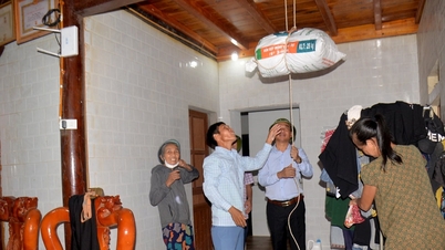
Strong winds on land will continue to persist in the next few hours, especially in the South Thanh Hoa - North Ha Tinh area near the storm center, winds will still be at level 8-9, and in the area near the storm center, winds will be at level 10-11, gusts of 12-13.
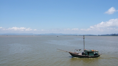
The weather at sea is still very dangerous with 4-6m high waves and gusts of level 13 near the storm center. All activities at sea and near the shore are warned to be at very high risk.
Source: https://baonghean.vn/tin-moi-nhat-bao-so-5-da-do-bo-vao-dat-lien-nghe-an-ha-tinh-gio-giat-cap-13-canh-bao-mua-dac-biet-to-10305218.html


![[Photo] Solemn opening of the 1st Government Party Congress](https://vphoto.vietnam.vn/thumb/1200x675/vietnam/resource/IMAGE/2025/10/13/1760337945186_ndo_br_img-0787-jpg.webp)


![[Photo] General Secretary To Lam attends the opening of the 1st Government Party Congress](https://vphoto.vietnam.vn/thumb/1200x675/vietnam/resource/IMAGE/2025/10/13/1760321055249_ndo_br_cover-9284-jpg.webp)


Comment (0)