Geography
Tien Giang province is located in the geographical coordinates 105°49'07" to 106°48'06" East longitude and 10°12'20" to 10°35'26" North latitude, with geographical location:
- East borders Ho Chi Minh City and the East Sea
- West borders Dong Thap province
- To the south, it borders Ben Tre province and Vinh Long province.
- North borders Long An province
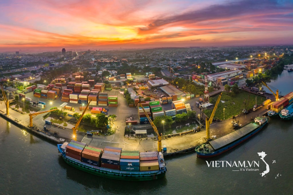
Tien Giang lies along the northern bank of the Tien River (a branch of the Mekong River) with a length of 120 km, extending to the estuaries that flow into the East Sea. Thanks to its favorable location, Tien Giang has become the
political and cultural center of the entire Mekong Delta.
is a very important transit area connecting the entire Southwest region. At the same time, it helps Tien Giang become a province with the leading
economic development in the Southwest region and the Southern Key Economic Zone.

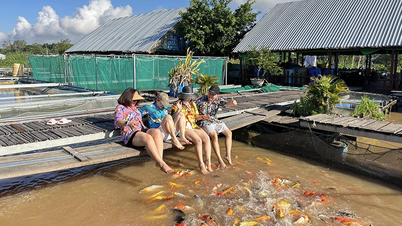
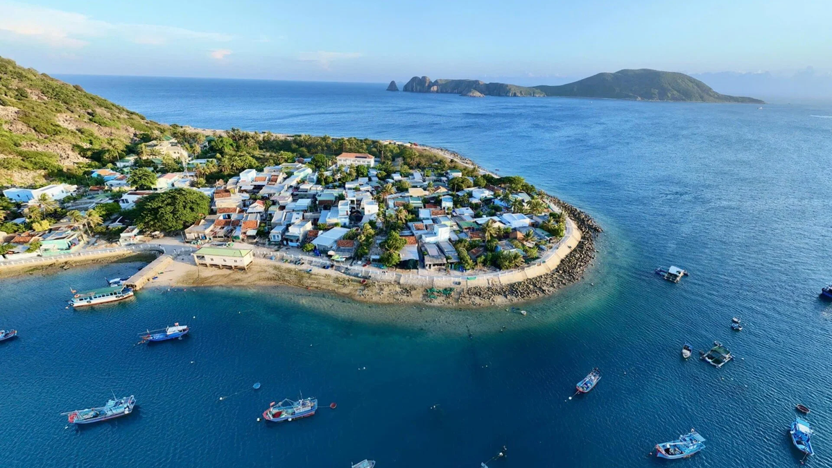
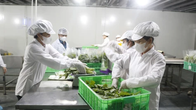
Tien Giang has an area bordering the East Sea in Go Cong Dong and Tan Phu Dong districts with a 32 km long coastline sandwiched between the large river mouths of Xoai Rap, Tieu and Dai in the Tien River system. This location is very favorable for aquaculture and fishing. Brackish water aquatic products include juveniles and young fish that reproduce and move deep inshore, the estimated annual reserves of shrimp, crab, fish, clams, mussels... in the estuaries are 156,000 tons. Seafood, the potential for seafood is quite abundant with annual reserves of floating organisms up to 12,000 million tons of phytoplankton, 5.96 million tons of zooplankton, 4.7 million tons of benthic organisms and more than 1 million tons of fish.
Natural conditions
Terrain
Tien Giang province has a flat terrain, with a slope of less than 1% and elevation ranging from 0 meters to 1.6 meters above sea level, commonly from 0.8 meters to 1.1 meters. In general, the whole region has no clear slope direction, however, there are areas with low-lying sub-terrain or higher mounds than the general terrain. In the area, there are also many crescent-shaped coastal sand dunes with a common elevation of 0.9 - 1.1 meters, rising above the surrounding plains.

Soil
The province's land is mostly neutral alluvial soil, slightly acidic along the Tien River, accounting for about 53% of the province's total area, with favorable fresh water resources, which have long been exploited and used, forming high-yield rice areas and specialized fruit orchards of the province; the remaining 19.4% is acid sulfate soil and 14.6% is saline alluvial soil,...
Climate
Tien Giang has an equatorial and tropical monsoon climate, so the average temperature is high and hot all year round. The average temperature in the year is 27
o C - 27.9
o C. With 2 distinct seasons: rainy season and dry season. The dry season is from December of the previous year to April of the following year, the average rainfall is 1,210 - 1,424 mm/year and is distributed less from north to south, the rainy season is from May to November.
Minerals
Tien Giang is a province with many mineral reserves, the main minerals are coal, mud, set, river sand reserves, and underground water reserves,... In which, peat mines are covered with a layer of clay, plant humus 0-0.7 meters thick, an average of 0.3 meters. Tan Lap clay mine has a mixed river-sea sedimentary origin, Holocene age, with a layer 0.2 - 3 meters thick, distributed over an area of 2 - 3 km
2 with a thickness of 15 - 20m. The reserve is equivalent to 6 million m
3. The sand mines are identified and classified in layers concentrated in the districts of Cai Be, Cai Lay, Chau Thanh with 9 sand bodies with large reserves with a length of 2 - 17 km, width of 300 - 800m, thickness of 2.5 - 6.9 meters, with quality meeting the demand for filling materials. Groundwater in the province has 3 prospective aquifers, with water richness from large to medium, good quality, eligible for exploitation on a large and medium scale, including the upper Pliocene, lower Pliocene and Miocene units.
Hydrology
Tien Giang has a dense network of rivers and canals, a long coastline, which is favorable for the exchange of goods with neighboring areas and is also an environment for aquaculture and fishing. In particular, Tien River is the main source of fresh water, flowing 115 km across Tien Giang territory. Vam Co Tay River is a river without a source, the flow on the river is mainly transferred from Tien River, which is the place to receive flood water from Dong Thap Muoi and is a main route of saltwater intrusion from the sea. Most rivers and canals in the province are affected by irregular semi-diurnal tides. In particular, the estuary area has very strong tidal activity, the tidal amplitude at the estuaries is from 3.5 - 3.6 m, the tidal transmission speed is 30 km/h, the average reverse flow speed is 0.8 - 0.9 m/s, the largest is up to 1.2 m/s and the downstream flow speed is up to 1.5 - 1.8 m/s.
Forest
As of December 31, 2021, the total forested land area is 2,426.8 ha; the forest cover rate is 0.9%. Forest land is located in the following districts: Go Cong Dong (518.6 ha), Tan Phu Dong (846.8 ha), Tan Phuoc (1,061.4 ha). The reforested area is 2,363.5 ha.


Comment (0)