Specifically, the North Tan Uyen area received heavy rainfall of 70-100mm, and Con Dao received 90-120mm. Heavy rain is forecast to continue until around August 17th, with a total rainfall of 100-190mm. Be prepared for heavy rain causing flooding in low-lying areas, urban and industrial zones, and areas along rivers and canals.
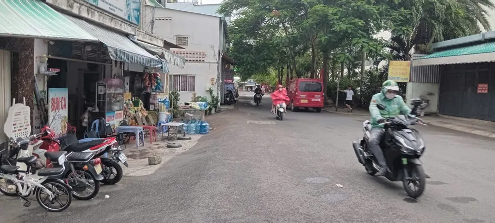
Over the sea areas of Ho Chi Minh City , the intensity of the southwest wind remains relatively unchanged, with showers and thunderstorms at sea. During the rain, be wary of tornadoes and strong winds. At Can Gio estuary, the southwest wind will gust at force 4-5, with wave heights of 1-2m; at Hiep Phuoc and Cat Lai ports, the southwest wind will gust at force 3-4.
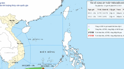
According to Mr. Le Dinh Quyet, Head of the Forecasting Department at the Southern Vietnam Meteorological and Hydrological Station, the heavy rain in Ho Chi Minh City was caused by the weakening of a low-pressure trough with its axis extending across Northern and North Central Vietnam. The Southwest monsoon was operating at a moderate intensity. At higher altitudes, the subtropical high-pressure system was weakening. The upper-level wind convergence over Southern Vietnam remained weak and was moving westward. Over the next three days, the low-pressure trough with its axis across South Central Vietnam is expected to strengthen, connecting with the disturbance formed on this trough. This disturbance is likely to gradually intensify into a tropical depression/storm. The Southwest monsoon is strengthening. At higher altitudes, the northern branch of the subtropical high-pressure system is encroaching westward.
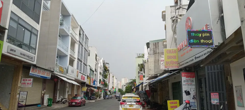
To proactively respond to strong winds and high waves at sea, the Ho Chi Minh City Civil Defense - Disaster Prevention and Search and Rescue Command has issued a document to relevant units requesting them to proactively develop response plans. It requests that units and localities be ready to implement plans to ensure the safety of people and vessels operating on rivers and at sea. The People's Committees of Can Gio, An Thoi Dong, and Thanh An communes, the Ho Chi Minh City Border Guard Command, the Fisheries and Fisheries Inspection Sub-department, etc., are requested to regularly inform vessels operating at sea about the strong winds and high waves and to plan their production and fishing activities accordingly, and to prepare forces, vehicles, and equipment for search and rescue operations when necessary.
The media promptly reported warnings and forecasts about strong winds and high waves at sea, along with directives from authorities at all levels, enabling people to proactively and effectively respond.
Source: https://www.sggp.org.vn/tphcm-mua-lon-keo-dai-trong-3-ngay-toi-post808338.html


![[Image] Close-up of the newly discovered "sacred road" at My Son Sanctuary](/_next/image?url=https%3A%2F%2Fvphoto.vietnam.vn%2Fthumb%2F1200x675%2Fvietnam%2Fresource%2FIMAGE%2F2025%2F12%2F13%2F1765587881240_ndo_br_ms5-jpg.webp&w=3840&q=75)














Comment (0)