
To minimize the damage caused by natural disasters, the Party, State and Government have paid attention to investing in developing a modern monitoring network; researching the application of technology and training human resources. However, accurately predicting the time of natural disasters is always a difficult problem, especially in the context of climate change.
We had a discussion with Mr. Nguyen Dang Quang, Deputy Head of the Department of Science, Technology and International Cooperation, Department of Hydrometeorology, Ministry of Agriculture and Environment about the application of science and technology to improve the capacity to forecast storms, floods as well as other types of natural disasters.

Reporter: At the recent meeting of the National Civil Defense Steering Committee on the afternoon of July 24, the Prime Minister emphasized that in civil defense activities, three basic principles must be followed: Prevention must be early, from a distance, before an incident occurs. Early warning capabilities play a key role in minimizing damage caused by hydrometeorological disasters, especially in the context of climate change increasing the frequency and severity of storms, heavy rains, floods, flash floods, landslides, thunderstorms, and lightning. Could you tell us how the hydrometeorological sector applies new technologies and techniques to increase accuracy and timely forecasting?
Mr. Nguyen Dang Quang: In the context of natural disasters increasing in intensity and unpredictability due to climate change, the hydrometeorological sector identifies the key task as not only "having information", but that information must be accurate, timely and actionable at the grassroots level.
To meet that requirement, the industry has synchronously deployed innovative solutions for technology and forecasting techniques. Notably, the WRF-ARW high-resolution numerical forecasting model system is operated on the CRAY supercomputer, allowing detailed simulation of the atmosphere with a resolution of 3km × 3km - equivalent to the level of advanced forecasting centers in the world. The system also integrates multi-source data assimilation techniques, including ground stations, high-altitude stations, radars and international satellites, helping to improve accuracy and real-time updating capabilities.
In parallel with the physical model, the industry is also promoting the application of artificial intelligence (AI) in very short-term forecasting (nowcasting). We have built a very short-term rain forecasting system with a resolution of 1km, updated every hour, from which we deploy warnings of thunderstorms, landslides, and flash floods down to the commune level, with a warning time of 1 to 6 hours.
This is a significant step forward compared to previous warning capabilities. Notably, Vietnam is currently one of the Asian countries participating in the AINPP pilot project – Artificial Intelligence for Very Short Warning, initiated by the World Meteorological Organization (WMO), to support the implementation of the “Early Warning for All” Initiative globally.

Along with that, the industry is also developing a real-time rain-flood-landslide monitoring system and reservoir operation, integrating field sensors, computational models and automatic data transmission lines, which are being tested in major basins such as the Red River, Ma River and Da River. All of the above efforts are aimed at the goal of building a proactive, modern forecasting and warning system that is capable of adapting to climate change, thereby contributing to effectively protecting people's lives and developing a sustainable socio-economy.
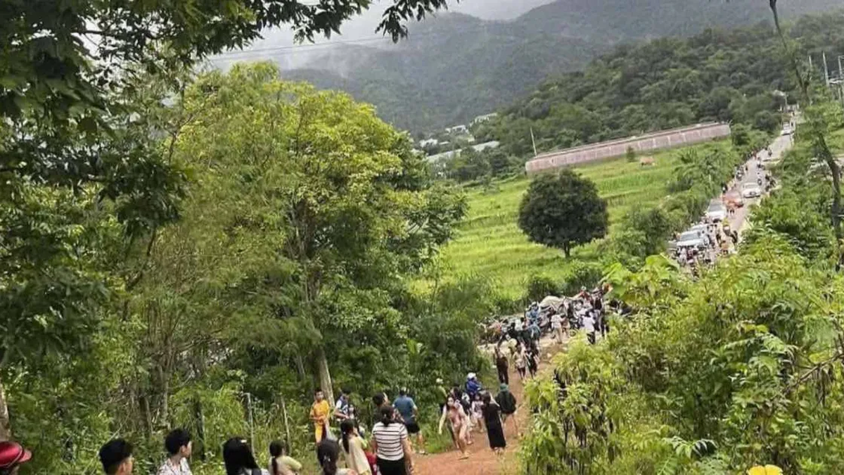
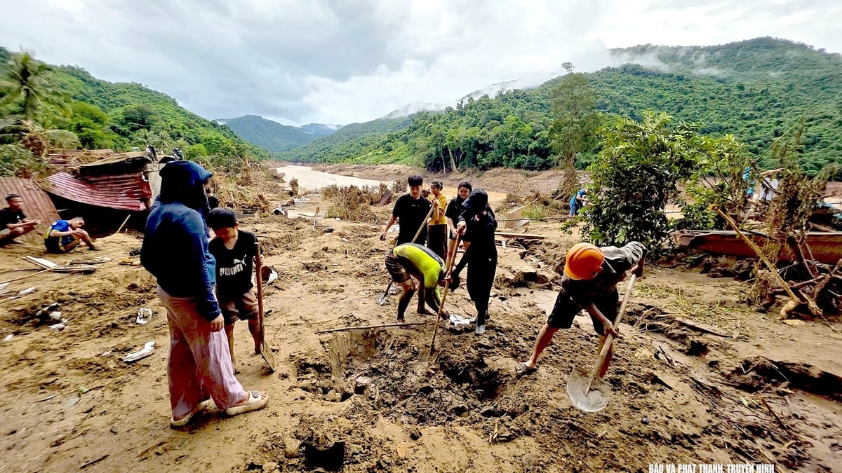
Reporter: The North and North Central regions are in the peak of the rainy season. In recent years, the number of flash floods and landslides has increased significantly. How are we implementing flash flood and landslide warning and prevention, and how long before natural disasters occur can we predict flash floods and landslides?
Mr. Nguyen Dang Quang: Among the types of natural disasters, there are types whose developments can be monitored such as tropical depressions and storms that are being warned and forecasted 3-5 days in advance, floods on large rivers such as the Mekong River can be predicted 5-10 days in advance, warned 15 days in advance or longer... There are types of natural disasters that occur on a very small scale, with no visible development such as flash floods, landslides, thunderstorms, tornadoes, lightning...
Currently, warning of flash floods and landslides in detail to each residential area and village to minimize damage to people and property is still a challenge not only for Vietnam but also for countries with advanced science and technology such as Japan, the US...
With current technology, the world cannot predict flash floods and landslides that will occur at a specific location and at a specific time of day. It is only possible to warn of the risk of flash floods and landslides in a certain area and within a certain period of time, for example, in the next 2 days there will be heavy rain in the area, and the warning is given to be on guard against the risk of flash floods and landslides that can occur at any time during those 2 days, but it is not possible to confirm at what minute or what hour of the day it will occur.
Over the years, the Hydrometeorological Agency has always paid special attention to enhancing the capacity to warn of flash floods and landslides. In fact, the Hydrometeorological Agency is currently operating a modern warning system including the Flash Flood and Landslide Warning System for Southeast Asia developed by the United States; the real-time flash flood and landslide warning information system developed by the National Hydrometeorological Agency based on the integration of technology from the United States and Vietnam.
The warning system is based on a combination of rainfall forecast data (from weather radar observations, more than 3,500 automatic rain gauges and numerical forecast models), topography, land cover, soil and rock conditions and hazard zoning maps. With current technologies, we can warn of flash floods and landslides about 1 to 6 hours in advance – that is, mainly in the form of short-term warnings.
Since 2023, the Hydrometeorological Agency has deployed a real-time, detailed flash flood and landslide risk warning information system down to the commune level at http://luquetsatlo.nchmf.gov.vn/. People and ministries can access it to know whether their living area is in a warning zone with different levels clearly shown on the map through colors to warn of flash flood and landslide risk levels.
Reporter: Besides zoning down to the commune level and increasing the density of the monitoring station system, what other factors determine the accuracy of the forecast?
Mr. Nguyen Dang Quang: Increasing the density of rain monitoring stations is a prerequisite for detailed warnings of phenomena such as flash floods and landslides. However, it should be noted that rain is only a trigger. The accuracy of the forecast also depends greatly on background factors such as terrain, geology, soil saturation, surface cover, and especially human impacts such as leveling, deforestation, mineral exploitation, and inappropriate infrastructure construction.
Many landslides occur even when rainfall is not heavy, showing the decisive role of weak geological foundations, steep slopes or locations near active faults. Therefore, to improve warning effectiveness, it is necessary to integrate rainfall data with topographic, geological and land use information, thereby accurately assessing the landslide trigger threshold for each specific area. To solve this problem, the real-time flash flood and landslide warning system is gradually being improved towards localization and detail.
In particular, risk zoning is carried out at a large scale of 1:10,000, with enough resolution to assess each ravine and hillside. Warning models are also being designed to determine specific rainfall thresholds for each area, depending on geological characteristics, rainfall history and past landslide data.
In particular, the system is capable of automatically adjusting the warning threshold according to current weather developments and geological indicators that change seasonally. Only when we know exactly how many mm of rain each area will experience landslides, and in how many hours, can we issue warnings at the right place and at the right time to people in highland villages.
The warning system is just one of many links in the disaster response chain. To proactively and effectively prevent disasters, people need to be trained, have awareness, know how to read and understand warnings, and have a clear evacuation plan.
In some localities such as Yen Bai, Lao Cai or Nghe An, flash flood and landslide response drills have been held regularly in recent years. However, in many places, this is still a formality, lacking coordination between the government and the people. We cannot prevent natural disasters, but we can completely reduce the damage if we prepare in advance - from accurate forecast data, timely warnings, effective communication, to community preparedness.
In addition, the system also integrates spatial data on locations where flash floods and landslides have occurred – “hot spots” with a history of high risks – to prioritize early warnings and develop response plans for each specific situation. The combination of detailed terrain analysis and disaster history not only helps improve warning accuracy, but also supports local authorities in proactively planning evacuations, protecting infrastructure, and minimizing damage from the very beginning.
No matter how advanced the technology system is, if it cannot be transmitted to the people, it will still not be effective. Therefore, many localities are gradually integrating warnings into popular access channels: Provincial information portal, SMS messages, loudspeakers, social networks...
In particular, the system needs to be included in the community disaster prevention and control drill process, helping people know how to read warnings, understand the risk level, and know what to do when information is sent out. This is the next step that warning experts warn needs to be promoted. In the context of increasingly complex climate change, investing in an early warning and zoning system is not only an act to save lives, but also a strategy to protect the country's sustainable development.
Reporter: Thank you!
Source: https://baolaocai.vn/ung-dung-khoa-hoc-cong-nghe-nang-cao-nang-luc-du-bao-canh-bao-thien-tai-post649842.html


Comment (0)