
 |
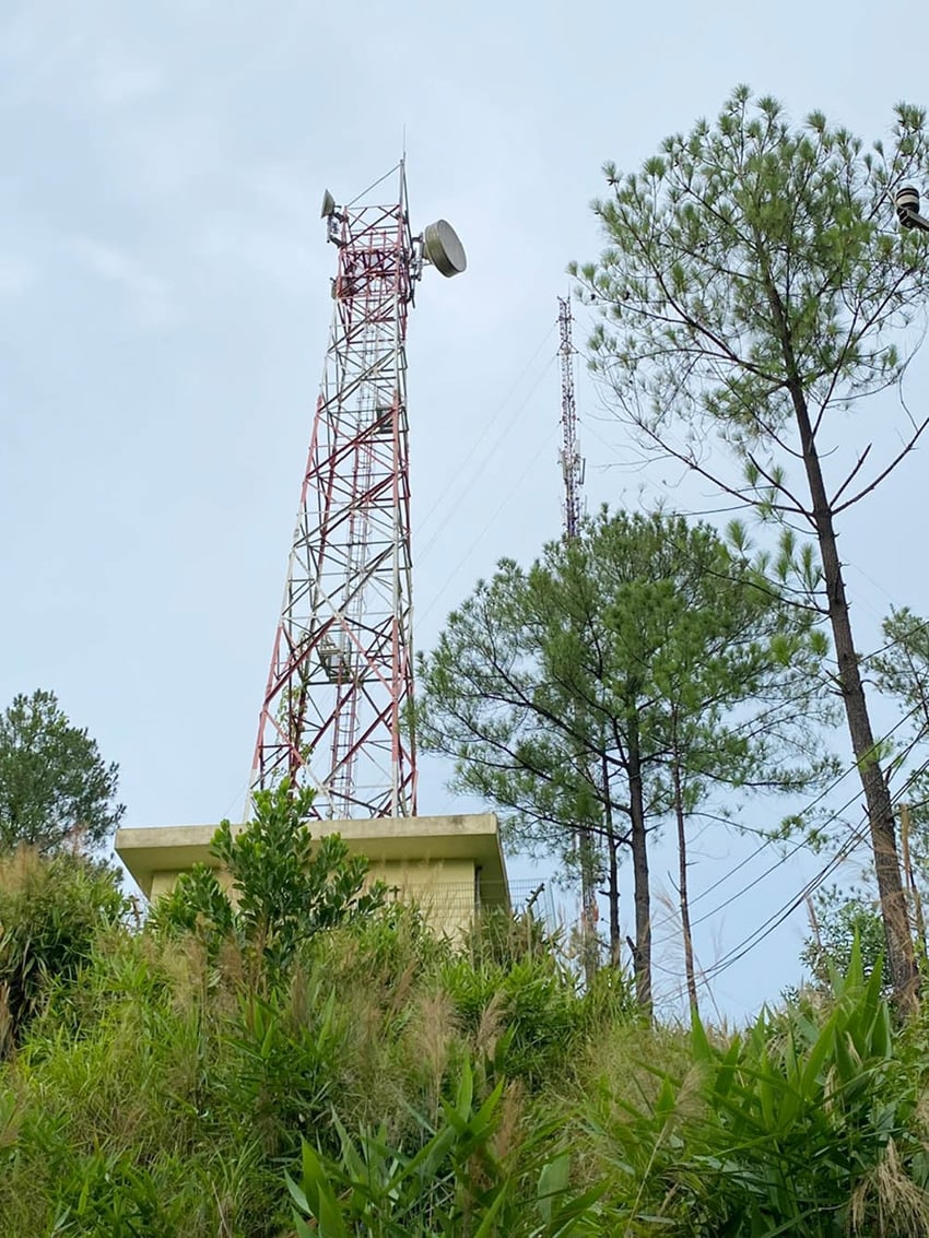
| Flood disaster information transmission technology equipment system |
Strengthening and expanding the automatic rain gauge system
These 49 automatic rain gauge stations apply high technology, automatically report rain data, rain time and update data to the website of the General Department of Hydrometeorology, the Provincial Steering Committee for Natural Disaster Prevention and Control and Search and Rescue (PCTT&TKCN) quickly and conveniently. In addition, the Department of Information and Communications has integrated Vrain into the Hue-S application of the Smart Urban Operation and Monitoring Center (IOC), connecting automatic rain gauge results to the province's shared system, serving the community to take early action to respond to natural disasters and floods.
Since its operation, the automatic rain gauge system has provided timely data to effectively serve early warning work as well as direct and manage natural disaster response. It supports localities and units to be more proactive in implementing plans to respond to floods, flash floods, and landslides, helping people grasp the flood situation to proactively prevent and mitigate damage.
Effective flood management with comprehensive disaster management information system
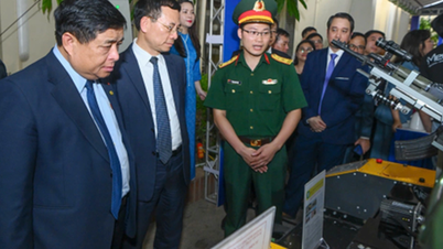
With the support of the Japan International Cooperation Agency (JICA), Thua Thien Hue province has implemented the project "Operating reservoirs in emergency situations and effectively managing floods with a comprehensive disaster management information system". Through the established equipment and information system, the inter-reservoir management and operation agency will grasp in real time the situation of rainfall and floods on rivers and hydroelectric dams in the Huong River basin, including rainfall, rainfall distribution thanks to rain gauges and X-band radar; water level and flow at key points on the river; flood and inundation situation on rivers;...
From the collected input parameters, through calculation models, the system will forecast the flood situation, propose dam operation plans to ensure dam safety and minimize flooding in downstream areas; propose dam operation plans to combat drought, supply water and generate electricity in the dry season. The system has been effective in supporting the direction of safe reservoir operation, minimizing damage caused by floods, especially heavy rains in October 2022 and November-December 2023.
Technology application
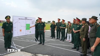
Up to now, the provincial disaster prevention and control agency has built a digital map of the system of dikes, dams and reservoirs; a map of flooding due to rising water for coastal areas when strong storms and super storms make landfall; a map of flash flood risk zones and landslide risk zones in mountainous areas. Connecting the online meeting room of the Provincial People's Committee with the Government and ministries and branches to organize online meetings, promptly serving the direction and management of natural disaster response of the Government, central ministries and branches to localities.
The Office of the Provincial Steering Committee for Disaster Prevention and Control has deployed the construction and installation of 8 smart flood warning systems in low-lying, densely populated areas that are frequently flooded in Quang Dien, Huong Tra, Huong Thuy and Hue city. Recently, the Office installed 2 groups of automatic sirens that broadcast warning signals according to flood warning levels, with a warning radius of up to 5km, located in urban areas concentrated in the Provincial Administrative Center and Huong So resettlement area, which will be put into use during the 2024 storm season.
Since 2020, the Hue IOC Center has coordinated to share and transmit images of cameras monitoring storms, floods, inundation, and traffic from the scene, providing visual images to help authorities observe vulnerable, low-lying locations such as Da Dam, Cau Lon, and both banks of the Huong River, etc. In addition, the Center has also integrated the database of people's evacuation in natural disaster situations and reservoir database layers into the GIS-Hue information system. Information on water levels, rainfall, and flooding on Hue-S has effectively served the direction and administration of provincial leaders and provided timely information for people to proactively prevent and respond.
Regarding the transmission of disaster forecasts and warnings, for many years now, disaster prevention and control agencies from the province to the district, commune, village, and hamlet have used social networks such as Facebook, Zalo, Viber, etc. in combination with traditional methods such as sending SMS messages, fax messages, emails, radio and television systems, and loudspeakers at the grassroots level. Thanks to that, disaster forecasts and warnings from the National Center for Hydro-Meteorological Forecasting, instructions from the Government, central ministries and provinces on the implementation of prevention, response and overcoming of consequences of natural disasters have reached the community and people in an official and quick manner.
It can be seen that, thanks to the effective support of science and technology, the work of forecasting, warning and transmitting natural disaster information in Thua Thien Hue province is increasingly close to the practical situation, fast and convenient, contributing to significantly improving the effectiveness of the work of directing and responding, limiting and minimizing damage to life and property of the State and People caused by natural disasters.
Source: https://baothuathienhue.vn/kinh-te/ung-dung-khoa-hoc-cong-nghe-trong-phong-chong-thien-tai-146680.html


![[Maritime News] More than 80% of global container shipping capacity is in the hands of MSC and major shipping alliances](https://vphoto.vietnam.vn/thumb/402x226/vietnam/resource/IMAGE/2025/7/16/6b4d586c984b4cbf8c5680352b9eaeb0)


Comment (0)