
In Ly Son special zone, there are gusts of wind level 7; Huyen Tran station has strong southwest wind level 6, gusts of level 8-9.
It is forecasted that in the next 24 hours, the low pressure area in the central East Sea will move slowly in a North-Northwest direction and is likely to strengthen into a tropical depression.
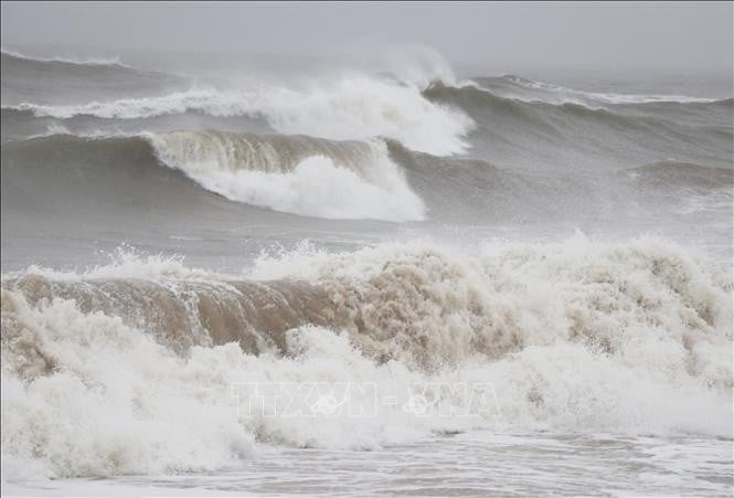
Day and night of August 16, the sea area from Khanh Hoa to Ho Chi Minh City, the South East Sea area (including Truong Sa special zone), strong winds level 6, gusts level 7-8, waves 2-3.5m high.
The North of the North East Sea area has wind level 5, sometimes level 6, gusting to level 7-8, rough sea, waves 2-3.5m high.
The central East Sea area has wind level 6, gust level 7-8, waves 2-3.5m high.
On the day and night of August 16, the Gulf of Tonkin, the sea area from South Quang Tri to Ca Mau, Ca Mau to An Giang , the Gulf of Thailand, the North, Central and South East Sea (including Hoang Sa and Truong Sa special zones) will have scattered showers and thunderstorms, with the possibility of thunderstorms. tornado, strong winds and waves over 3.5m high.
Source: https://baolangson.vn/vung-ap-thap-co-kha-nang-manh-len-thanh-ap-thap-nhiet-doi-5056217.html


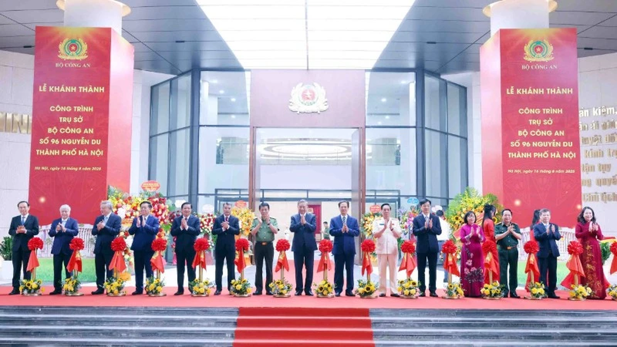

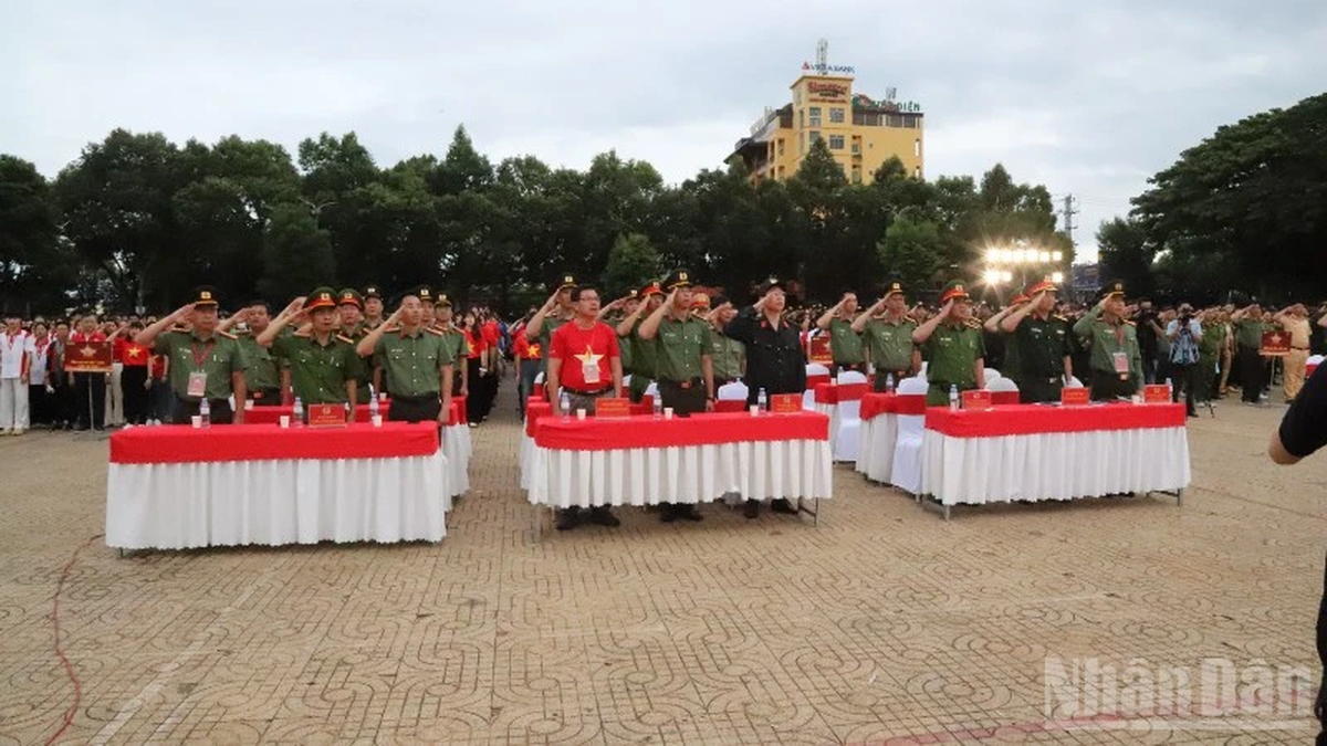
![[Photo] General Secretary attends the inauguration ceremony of the Ministry of Public Security Headquarters](https://vphoto.vietnam.vn/thumb/1200x675/vietnam/resource/IMAGE/2025/8/16/3ceec3a24ef945c18ae2b523563b749d)

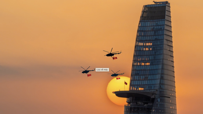
![[Photo] “Moving forward with Vietnam” on the most romantic road in Vietnam](https://vphoto.vietnam.vn/thumb/1200x675/vietnam/resource/IMAGE/2025/8/16/0ee500bc59fd4468863261ee26f47fe7)
![[Photo] National Assembly Chairman Tran Thanh Man attends the program "Returning to the source - Towards the future"](https://vphoto.vietnam.vn/thumb/1200x675/vietnam/resource/IMAGE/2025/8/16/d081d9c162ee4ed9919e723aa322a53a)


Comment (0)