
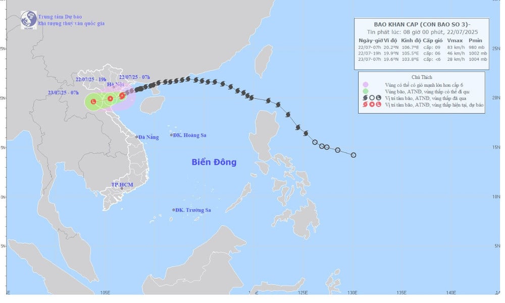
It is forecasted that from the afternoon of July 22 to the morning of July 23, strong winds will continue to rage from Hai Phong to Thanh Hoa, after which the storm will weaken into a low pressure area over Upper Laos.
At sea, the North and South of the Gulf of Tonkin will have winds of level 6-9, gusting to level 12, waves from 2 to 5 meters high, and very rough seas. The water level will rise from 0.5 to 1 meter, causing the coastal areas of Hung Yen - Quang Ninh to be at high risk of flooding, especially at noon and in the afternoon of July 22.
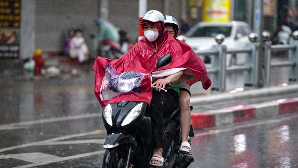
On land, from Quang Ninh to Nghe An, strong winds of level 6-9, gusting to level 12, deep inland such as Hai Phong, Hung Yen, Hanoi , Ninh Binh, winds of level 6, gusting to level 7-8 can cause trees to fall and roofs to be blown off.
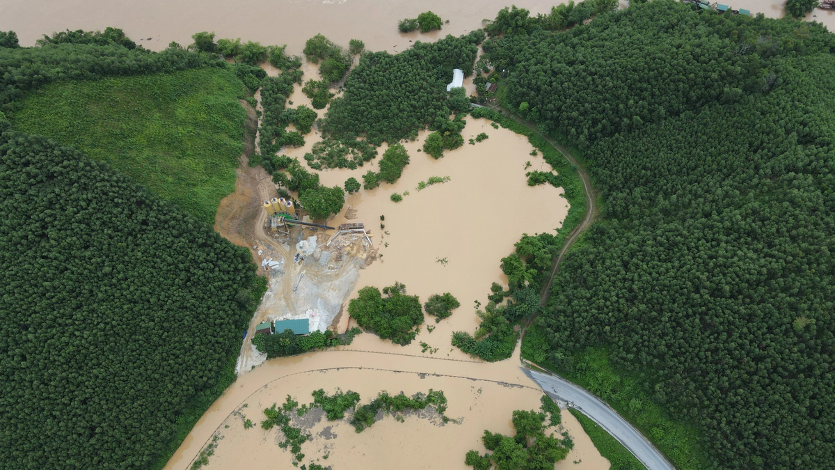
Fishermen are advised not to go to sea at this time, and aquaculture vessels and cages should proactively anchor safely. People in the northern mountainous areas should be vigilant against flash floods and landslides. The National Center for Hydro-Meteorological Forecasting said that in addition to the risk of urban flooding, special attention should be paid to flash floods and landslides in mountainous areas. This dangerous situation could last for the next 2-3 days.
Source: https://quangngaitv.vn/bao-so-3-vao-bo-song-lon-gio-giat-mua-don-dap-6505166.html


![[Photo] Signing of cooperation between ministries, branches and localities of Vietnam and Senegal](https://vphoto.vietnam.vn/thumb/1200x675/vietnam/resource/IMAGE/2025/7/24/6147c654b0ae4f2793188e982e272651)


Comment (0)