

Image of storm No. 3 on the morning of July 22 (Photo: National Center for Hydro-Meteorological Forecasting)
Latest update this morning, July 22, from Mr. Hoang Phuc Lam - Director of the National Center for Hydro-Meteorological Forecasting, early this morning, July 22, storm No. 3 WIPHA approached the mainland of the Northern region of our country.
At 7:00 a.m. on July 22, the center of the storm was at about 20.2 degrees North latitude; 106.7 degrees Longitude.
East, on the coastal sea of Hai Phong - Ninh Binh. The strongest wind near the storm center is level 9 (75-88km/h), gusting to level 12; moving in the West Southwest direction at a speed of about 15km/h.
Due to the impact of storm No. 3, in Bach Long Vi special zone, there were strong winds of level 10, gusting to level 12; Co To special zone had strong winds of level 8, gusting to level 11; Cat Ba (Cat Hai special zone) had strong winds of level 6, gusting to level 8; Cua Ong had strong winds of level 9, gusting to level 12; Bai Chay had strong winds of level 8, gusting to level 9; Quang Ha had strong winds of level 8; Tien Yen had strong winds of level 7, gusting to level 9; Thai Binh station had strong winds of level 7, gusting to level 8; Mong Cai had strong winds of level 6, gusting to level 9; Phu Lien had strong winds of level 6, gusting to level 8...
In the plains and coastal areas of the North, Thanh Hoa and Nghe An, there will be moderate rain, heavy rain, and in some places very heavy rain with common rainfall of 70-150mm, in some places over 200mm.
The northern Gulf of Tonkin (including the special zones of Bach Long Vi, Co To, Van Don, Cat Hai, Hon Dau island) has strong winds of level 6-7, near the storm's eye level 8-9, gusts of level 12; waves 2.0-4.0m high, near the storm's eye 3.0-5.0m; very rough seas. The southern Gulf of Tonkin (including Hon Ngu island) has strong winds of level 6-7, near the storm's eye level 8, gusts of level 11; waves 2.0-4.0m high; rough seas.
Storm surge and coastal flood warnings:
The coastal areas of Hung Yen-Quang Ninh have storm surges of 0.5-1.0m high. Water levels in Ba Lat (Hung Yen) are 2.4-2.6m high, Hon Dau (Hai Phong) are 3.9-4.1m high, Cua Ong (Quang Ninh) are 4.6-5.0m high and Tra Co (Quang Ninh) are 3.6-4.0m high. There is a high risk of flooding in coastal areas and river mouths at noon and afternoon on July 22.
The National Center for Hydro-Meteorological Forecasting warns that the weather at sea and in coastal areas during the storm is extremely dangerous and unsafe for any means or structures operating in the danger zone such as: tourist boats, passenger ships, transport ships, cages, rafts, aquaculture areas, dykes, embankments, coastal routes. Vehicles are at high risk of capsizing, destruction, and flooding due to strong winds, storms, whirlwinds, large waves, and rising sea levels.
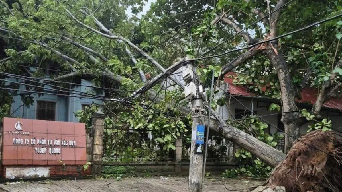
On land: Coastal areas from Quang Ninh to Nghe An have strong winds of level 6-7, near the storm center level 8-9, gusting to level 12; inland areas of the provinces/cities of Hai Phong, Hung Yen, Bac Ninh, Hanoi, Ninh Binh and Thanh Hoa have strong winds of level 6, gusting to level 7-8. Level 9 winds can break tree branches, blow off roofs, causing damage to houses.
Warning of heavy rain, beware of flash floods and landslides
From July 22 to July 23, in the Northern Delta region, Thanh Hoa and Nghe An, there will be heavy to very heavy rain and thunderstorms with common rainfall of 100-200mm, locally over 300mm; other places in the Northern region and Ha Tinh will have moderate rain, heavy rain, locally very heavy rain and thunderstorms with common rainfall of 50-100mm, locally over 150mm.
Warning of the risk of heavy rain (>150mm/3h). Heavy rain in a short period of time can cause flash floods, landslides in mountainous areas, and flooding in low-lying areas. In the past 12 hours (from 4pm on July 21 to 4am on July 22), the provinces of Phu Tho, Thanh Hoa and Nghe An have had moderate to heavy rain, with some places experiencing very heavy rain such as: Van Mai 114.8mm (Phu Tho); Thach Quang 95.0mm, Nhu Xuan 87.0mm (Thanh Hoa); Muong Long 69.0mm, Quy Chau 66.8mm, Tay Hieu 66.6mm (Nghe An);...
Soil moisture models show that some areas in the above provinces are close to saturation (over 85%) or have reached saturation.
In the next 3 hours, the above provinces will continue to have rain with accumulated rainfall ranging from 30-60mm, in some places over 100mm.
In the next 6 hours, there is a risk of flash floods on small rivers and streams, and landslides on steep slopes in many communes/wards.
Thu Cuc
Source: https://baochinhphu.vn/bao-so-3-wipha-tien-sat-dat-lien-hai-phong-va-ninh-binh-102250722084455963.htm


![[Photo] National Assembly Chairman Tran Thanh Man visits Vietnamese Heroic Mother Ta Thi Tran](https://vphoto.vietnam.vn/thumb/1200x675/vietnam/resource/IMAGE/2025/7/20/765c0bd057dd44ad83ab89fe0255b783)


Comment (0)