

Heavy rains caused widespread flooding in communes along rivers, streams, and low-lying areas. Floods appeared on rivers and streams exceeding alert level 3; an earthquake occurred at Can Yen commune, with a magnitude of 3.4 on the Richter scale.
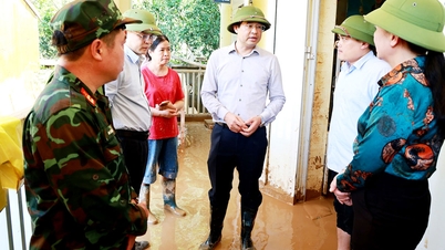
The whole province has 21 hamlets deeply flooded, some areas isolated due to traffic disruption; about 5,000 hectares of rice and crops were flooded, many irrigation works, domestic water and schools were damaged; more than 140 rural traffic routes, 74 landslides on national and provincial highways and 17 deep flooded points causing many road sections to be cut off... On the morning of October 8, 2025, the water level of rivers in Cao Bang province has receded, but slowly, many neighborhoods are still deeply flooded. Currently, functional forces and people are working together to clean up the street sections where the water has receded.
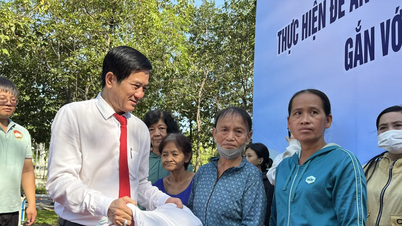
Localities are mobilizing forces to continue responding, overcoming consequences, clearing landslides, assisting people in evacuation, and stabilizing their lives. The force on duty for natural disaster prevention and control is maintained 24/7, continuing to monitor the development of floods and deploying response plans according to the "4 on-site" motto.
Source: https://quangngaitv.vn/cao-bang-bi-thiet-hai-nang-ne-do-anh-huong-hoan-luu-bao-so-11-6508403.html
![[Photo] Prime Minister Pham Minh Chinh chairs the Conference to deploy the National Target Program on Drug Prevention and Control until 2030](https://vphoto.vietnam.vn/thumb/1200x675/vietnam/resource/IMAGE/2025/10/09/1759990393779_dsc-0495-jpg.webp)


![[Photo] Prime Minister Pham Minh Chinh chairs a meeting of the Government Standing Committee on overcoming the consequences of natural disasters after storm No. 11](https://vphoto.vietnam.vn/thumb/1200x675/vietnam/resource/IMAGE/2025/10/09/1759997894015_dsc-0591-jpg.webp)


Comment (0)