
 |
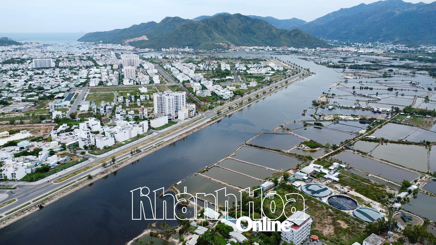
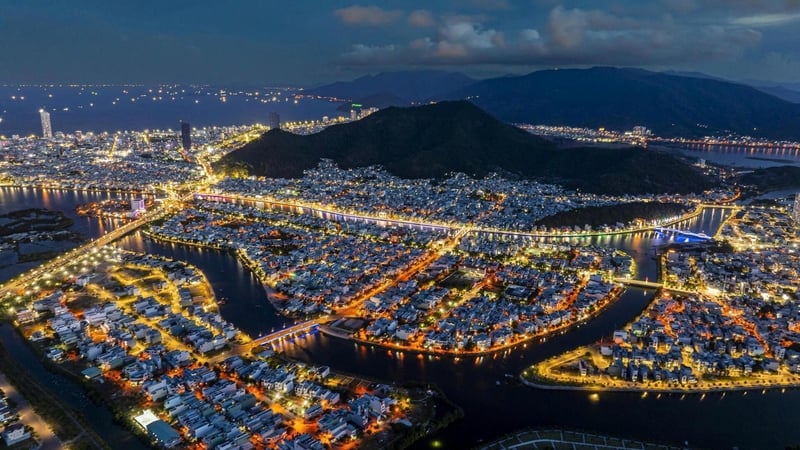
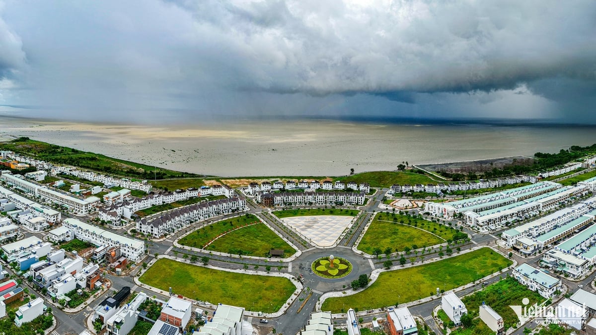
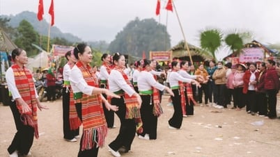
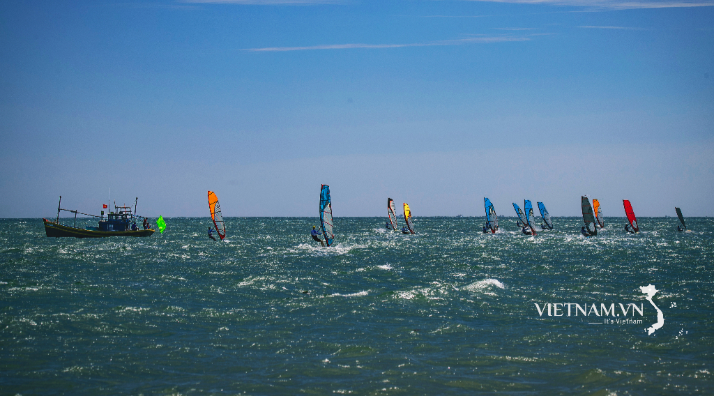
| A corner of Nam Nha Trang ward. |
Specifically: Area 1 (belonging to subdivision 9 located in Vinh Thai commune (old), now Nam Nha Trang ward): Adjusting and exchanging the land use function of the medical center land and the administrative center land on the basis of the total locally adjusted area of the 2 land plots remaining unchanged; at the same time, adjusting the direction of the traffic route (35m wide) adjacent to the 2 above-mentioned land plots and adding the land fund for green parks. Area 2 (belonging to subdivision 5 located in Vinh Hai ward (old), now Bac Nha Trang ward): Adjusting and exchanging the land use function of the urban public green land and the urban center land; the scale of the locally adjusted area is about 13.93ha. Area 3 (belonging to subdivision 5 located in Vinh Hai ward (old), now Bac Nha Trang ward): Adjusting the land use function of the land plot planned for parking lots into technical infrastructure land; The locally adjusted area is about 2.81 hectares. Area 4 (belonging to subdivision 7 located in Vinh Ngoc commune (old), now Tay Nha Trang ward): Adjust the land use function of a part of the training and research land into an urban center land; the locally adjusted area is about 5.69 hectares. Area 5 (belonging to subdivision 9 located in Phuoc Dong commune and Phuoc Long ward (old), now Nam Nha Trang ward): Supplement the planning of the urban technical infrastructure land in the downstream of Quan Truong river (expected to implement the saltwater dam project). Area 6 (belonging to subdivision 3 located in Vinh Nguyen ward (old), now Nha Trang ward): Adjust the land use function of a part of the urban center and the green park and square land into a security land and supplement the planning of the People's Public Security water port type 1; the locally adjusted area is about 0.8 hectares. Area 7 (belonging to subdivision 10 located in Phuoc Dong commune (old), now Nam Nha Trang ward): Adjusting the land use function of a part of the type 2 tourist service land into a security land and supplementing the planning of the People's Public Security water port; the scale of the locally adjusted area is about 0.95ha.
MANH HUNG
Source: https://baokhanhhoa.vn/xa-hoi/202507/dieu-chinh-quy-hoach-su-dung-dat-mot-so-phan-khu-f1205a0/


Comment (0)