
From 4am to 7am on July 22nd, Hanoi was still quiet, cloudy, no sign of storm.

However, according to Mr. Mai Van Khiem, Director of the National Center for Hydro-Meteorological Forecasting, today (July 22), Hanoi will be directly affected by the circulation of storm No. 3 with strong winds and heavy rain over a wide area.

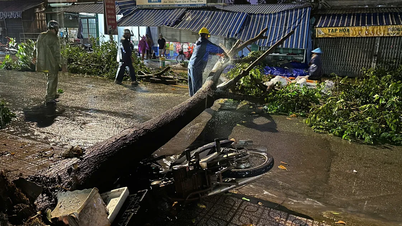
Specifically, gusts of wind in Hanoi can reach level 7-8, while the wind remains stable at level 5-6. Notably, during the storm's activity, localized thunderstorms may appear in the inner city causing sudden strong gusts of wind.
Director of the Center for Climate Forecasting The National Hydrological Imagery Agency warns: In places with many high-rise buildings, the wind amplification effect can cause the actual wind speed to be 1-2 levels stronger than the observed data, increasing the risk of insecurity for pedestrians and outdoor objects.

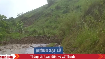
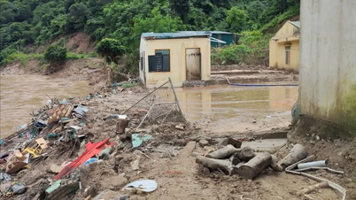
Along with the wind, the rain in Hanoi during this period is forecast to be 100-200mm in general, with some places exceeding 300mm. Heavy rainfall in a short period of time can cause localized flooding in many low-lying areas and inner-city streets such as Pham Van Dong, Nguyen Xien, Nguyen Trai, Minh Khai, Phan Boi Chau...
Flood levels may range from 20-50cm, lasting for about 30 minutes to 1 hour before receding if there is no further heavy rain.
“Flooding not only affects traffic but also disrupts daily life and poses many potential safety risks in residential areas,” Mr. Khiem warned.
According to Mr. Mai Van Khiem, the National Center for Hydro-Meteorological Forecasting and regional stations are closely monitoring the development of storm No. 3 every hour. Detailed reports will continue to be updated and adjusted if there are any unusual signs, in order to promptly serve the communication, response and warning work of the community.
Early morning of July 22, the Department of Meteorology and Hydrology ( Ministry of Agriculture and Environment ) warned: Residents in urban areas in provinces and cities in the Northern Delta, especially Hanoi, need to be especially wary of the effects of increased wind and thunderstorms during the storm.
"If it is not really necessary, you should limit traveling on the road," the meteorological agency noted.
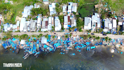
Previously, at 6:00 a.m. on July 22, the storm's center was still about 170km southwest of Quang Ninh, about 60km southeast of Hai Phong, about 50km east of Hung Yen, and about 70km northeast of Ninh Binh.
Vietnam's meteorological agency forecasts the storm to be level 9-10, with gusts of level 13. The Japan Meteorological Agency predicts the storm will strengthen to level 11. US stations predict the storm will be level 10.
Source: https://www.sggp.org.vn/giam-doc-co-quan-khi-tuong-ha-noi-can-trong-voi-hieu-ung-khuech-dai-gio-post804811.html


Comment (0)