(Dan Tri) - Hanoi was formed from the Red River Delta, a geographical feature with many ponds, lakes, rivers and streams. Currently, there are 10 large and small rivers flowing through Hanoi, with lengths ranging from a few kilometers to hundreds of kilometers.
1. Red River
The Red River (also known as Cai River, Ca River, Thao River, Nhi Ha, Nhi Ha) originates in Yunnan (China) with a total length of 1,149km, of which the section flowing through Vietnam is 556km long. This is an important river in the Vietnamese rice culture. In Hanoi, the Red River flows through the following districts: Ba Vi, Son Tay, Phuc Tho, Dan Phuong, Bac Tu Liem, Tay Ho, Ba Dinh, Hoan Kiem, Hai Ba Trung, Hoang Mai, Thanh Tri, Me Linh, Dong Anh, Long Bien, Gia Lam. Over time, the Red River has deposited alluvium, forming a fertile land, including the capital Hanoi. The Red River is not only a symbol of the wet rice civilization of the Northern Delta, but also brings many unique and valuable cultural values of the Vietnamese people.
2. Da River
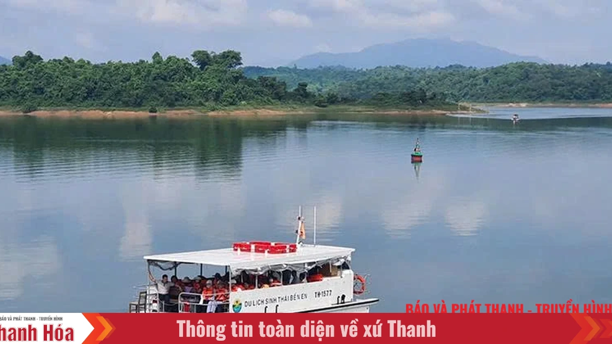
The Da River is the largest tributary of the Red River, 927km long, also originating from China. It is characterized by hundreds of dangerous rapids and waterfalls, large water flow, providing more than 30% of the water for the Red River. A series of large hydroelectric plants were built on the Da River such as: Hoa Binh , Son La, Lai Chau... The Da River is also known as the energy river. When the hydroelectric reservoir is filled with water, the riverbed narrows to reveal large sandbanks. Photo of the Da River at Dong Quang Bridge, the river is the natural boundary between Hanoi (left) and Phu Tho province (right). "Da River Clean Water" is a project to supply Da River water to Hanoi city, aiming to overcome difficulties in supplying clean water from underground water sources at risk of depletion in the city area.
3. Duong River
The Duong River is a distributary of the Red River, 65km long, connecting two major rivers in the North, the Red River and the Thai Binh River. The starting point is at the border between Xuan Canh Commune (Dong Anh District) and Long Bien District of Hanoi City. The end point is at Cao Duc Commune (Bac Ninh) to join the Thuong River to form the Thai Binh River. In the photo is the starting point of the Duong River (left). There are currently 6 bridges across the Duong River. In Hanoi, there are Duong Bridge, Dong Tru Bridge, and Phu Dong Bridge. In Bac Ninh , there are Kinh Duong Vuong Bridge, Ho Bridge, and Binh Than Bridge. In the photo is Kinh Duong Vuong Bridge across the Duong River.
4. To Lich River
To Lich River is a small river flowing through the inner city of Hanoi. Its main stream flows through the districts of Dong Da, Thanh Xuan, Cau Giay, Hoang Mai and Thanh Tri. The river is only 13.5km long. To Lich River is called a dead river due to its heavily polluted water source, with no fish or shrimp living there anymore. Today, the exposed river section is only about 14km long, originating from large and small sewers, then flowing into Nhue River.
5. Tich River
The Tich River originates from the Ba Vi mountain range, flows through the districts of Ba Vi, Son Tay, Phuc Tho, Thach That, Quoc Oai and joins the Bui River (flowing from Luong Son, Hoa Binh province) at Tan Truong junction, Thuy Xuan Tien commune, Chuong My district, then joins the Day River at Ba Tha junction, Chuong My district. Total length is 110km. Photo taken in Dong Truc commune (Thach That, Hanoi). Over the past years, due to the construction of a number of reservoirs, the increasingly narrowing forest area and the impact of climate change, the water source of the Tich River has become exhausted, especially in the dry season, many sections have become dead rivers. In early 2023, Da River water was led into the Tich River through the main sluice gate of Thuan My commune (Ba Vi), supplementing irrigation water for 8 districts in the west and southwest of the city.
6. Day River
The Day River is about 240km long, a distributary of the Red River flowing through Hanoi, Ha Nam , Ninh Binh and Nam Dinh and then emptying into the Gulf of Tonkin at Cua Day. The river is the main flow of the Tich River, Bui River, Nhue River, Boi River, Hoang Long River, Sat River, Nam Dinh River, and Vac River. The area near Hanoi's inner city has black river water, a strong odor, and almost no fish or shrimp. In 2007, a project was launched to bring water from the Red River at Cam Dinh sluice through the 12km Cam Dinh - Hiep Thuan drainage system with the hope of reviving the Day River. In the photo is a polluted section of the Day River in Van Con commune (Hoai Duc, Hanoi).
7. Taurus River
The ancient Kim Nguu River is a distributary of the To Lich River. It takes water from the To Lich River at Cau Giay, flows through Ngoc Khanh, Giang Vo, Hao Nam, Cho Dua, Xa Dan, Kim Lien, Cau Den, Dong Mac, Yen So, and then converges again at Van Dien. The Kim Nguu River used to be a waterway, but now it only functions as a drainage river for Hanoi's inner city. Currently, there is only one exposed section of Kim Nguu, about 4km long, from O Dong Mac to Yen So Lake.
8. Nhue River
The Nhue River is a small river, a tributary of the Day River. The river is about 76km long, winding in the Northwest - Southeast direction through Hanoi and Ha Nam province. The section in Hanoi is 63km long. In the photo is the Nhue River section in Cu Khe commune (Thanh Oai, Hanoi). The Nhue River is also a dead river due to serious water pollution. Currently, in the Nhue - Day River basin, there are about 2,521 sources of waste, of which 1,672 are from production and business establishments; 126 are from industrial parks and industrial clusters; 137 are from medical facilities (hospitals), and 586 craft villages.
9. Cau River
Cau River is the most important river in the Thai Binh River system, located in the Northeast region of Vietnam. In Hanoi, Cau River is the natural boundary between Soc Son district and Bac Giang province. The Cau River basin has the main stream of the Cau River with a length of 290km, originating from Van On Mountain (Van On, Bac Kan ) and flowing into the Thai Binh River in Pha Lai.
10. Ca Lo River
Finally, the Ca Lo River, which takes water from the Red River, combines with water from the Tam Dao mountain range to flow into the Cau River in Viet Long commune (Soc Son district - Hanoi). The river is 89km long.


![[Video] More than 100 universities announce tuition fees for the 2025–2026 academic year](https://vphoto.vietnam.vn/thumb/1200x675/vietnam/resource/IMAGE/2025/7/18/7eacdc721552429494cf919b3a65b42e)


![[Infographic] In 2025, 47 products will achieve national OCOP](https://vphoto.vietnam.vn/thumb/402x226/vietnam/resource/IMAGE/2025/7/16/5d672398b0744db3ab920e05db8e5b7d)


Comment (0)