
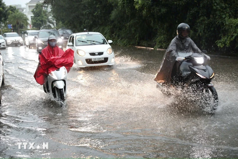
Illustration photo.
According to the National Center for Hydro-Meteorological Forecasting, last night and early morning of July 10, the mountainous and midland areas of the North had moderate rain, heavy rain and thunderstorms, and locally very heavy rain.
Rainfall from 7pm on July 9 to 3am on July 10 was over 80mm in some places, such as: Dao San 2 station (Lai Chau) 81.8mm, Hua Trai station (Son La) 104.4mm, Nam Muoi 2 station (Lao Cai) 91mm, Hung My station (Tuyen Quang) 82.6mm, Thai Hoc station ( Cao Bang ) 91.8mm...
Heavy rain is forecasted in the next 24-48 hours, from early morning to evening of July 10, in the mountainous and midland areas of the North, there will be moderate rain, heavy rain and thunderstorms, locally very heavy rain with common rainfall from 20-40mm, locally over 80mm.
From the night of July 10 to the night of July 11, the Northern region and Thanh Hoa will have moderate rain, heavy rain and thunderstorms, locally very heavy rain with common rainfall of 40-90mm, locally over 200mm. Warning of the risk of heavy rain (over 150mm in 3 hours). The time of impact is from early morning to late afternoon of July 10.
Detailed forecast for regions: Northern mountainous and midland areas: total rainfall from 20-40mm, locally over 80mm.
Northern region and Thanh Hoa (from night of July 10 to night of July 11): rainfall from 40-90mm, locally over 200mm.
Warning day and night 12/7, the Northern region and Thanh Hoa have moderate rain, heavy rain and thunderstorms, locally very heavy rain with common rainfall from 30-60mm, locally over 100mm.
Total rainfall from the night of July 10 to the night of July 12 in the North and Thanh Hoa is generally from 70-150mm, locally over 300mm.
Warning of risk of heavy rain (over 150mm in 3 hours). Thunderstorms may cause tornadoes, lightning, hail and strong gusts of wind.
From July 13, heavy rain in the North and Thanh Hoa is likely to gradually decrease. Warning level of natural disaster risk due to heavy rain, tornadoes, lightning, hail: level 1.
Heavy rain can cause flooding in low-lying areas, urban areas, industrial zones; flash floods on small rivers and streams, landslides on steep slopes.
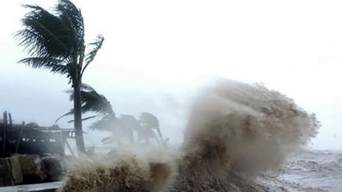
Regarding marine weather information, currently the northeastern sea area of the North East Sea is experiencing showers and thunderstorms.
It is forecasted that during the day and night of July 10, in the Northern Gulf of Tonkin, the northern sea area of the North East Sea and the Gulf of Thailand, there will be scattered showers and thunderstorms. There is a possibility of tornadoes and strong gusts of wind during thunderstorms.
NDS
In addition, the sea area from Khanh Hoa to Ho Chi Minh City and the central East Sea has strong southwest winds of level 5, sometimes level 6, gusting to level 7-8; waves from 2.0-3.5m high, rough seas.
All vessels operating in the above areas are at risk of being affected by tornadoes and strong gusts of wind.
Source: https://baothanhhoa.vn/hom-nay-bac-bo-va-thanh-hoa-tiep-tuc-mua-lon-254455.htm


![[Video] More than 100 universities announce tuition fees for the 2025–2026 academic year](https://vphoto.vietnam.vn/thumb/1200x675/vietnam/resource/IMAGE/2025/7/18/7eacdc721552429494cf919b3a65b42e)


![[Infographic] In 2025, 47 products will achieve national OCOP](https://vphoto.vietnam.vn/thumb/402x226/vietnam/resource/IMAGE/2025/7/16/5d672398b0744db3ab920e05db8e5b7d)


Comment (0)