

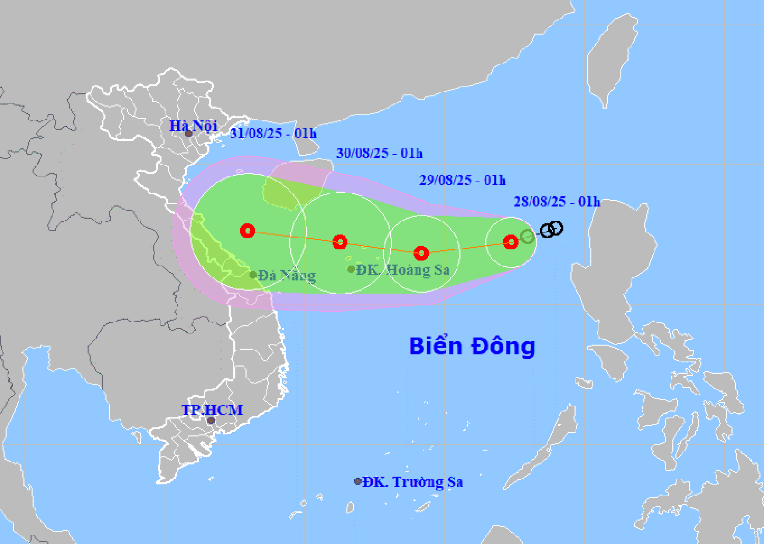
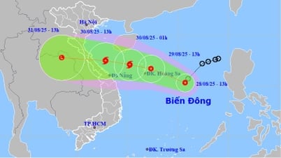
According to the Hai Phong City Hydrometeorological Station, at 1:00 a.m. on August 28, the center of the tropical depression was located at about 17.2 degrees north latitude, 117.4 degrees east longitude, in the eastern sea area of the northern East Sea. The strongest wind near the center of the tropical depression was level 6 (39 - 49 km/h), gusting to level 8, moving west-southwest at a speed of 10 - 15 km/h.
It is forecasted that in the next 24 hours, the tropical depression will move west-southwest at a speed of 15 km/h and is likely to strengthen. At 1:00 a.m. on August 29, the tropical depression will be located at about 16.8 degrees north latitude, 114.2 degrees east longitude, about 290 km east of Hoang Sa special zone. The strongest wind near the center of the tropical depression is level 6-7, gusting to level 9.
In the next 24 hours, the tropical depression will move west at a speed of 10 - 15 km/h. At 1:00 a.m. on August 30, the tropical depression will be located over the Hoang Sa special zone, with a strong intensity of level 7, gusting to level 9.
During the next 48 to 72 hours, the tropical depression will continue to move mainly in a westerly direction, traveling about 15 km per hour.
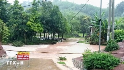
Due to the influence of the tropical depression, the eastern sea area of the northern East Sea has strong winds of level 6 - 7, gusts of level 9, waves 2 - 4 m high, and rough seas.
Ships operating in the above mentioned dangerous areas are likely to be affected by storms, whirlwinds, strong winds and large waves.
PVSource: https://baohaiphong.vn/ap-thap-nhiet-doi-di-chuyen-theo-huong-tay-tay-nam-va-co-kha-nang-manh-them-519295.html
![[Photo] National Assembly Chairman Tran Thanh Man holds talks with New Zealand Parliament Chairman](https://vphoto.vietnam.vn/thumb/1200x675/vietnam/resource/IMAGE/2025/8/28/c90fcbe09a1d4a028b7623ae366b741d)
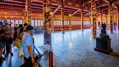
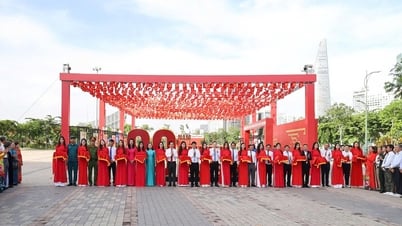
![[Photo] General Secretary To Lam attends the opening ceremony of the National Achievements Exhibition](https://vphoto.vietnam.vn/thumb/1200x675/vietnam/resource/IMAGE/2025/8/28/d371751d37634474bb3d91c6f701be7f)


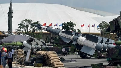
![[Photo] Images of the State-level preliminary rehearsal of the military parade at Ba Dinh Square](https://vphoto.vietnam.vn/thumb/1200x675/vietnam/resource/IMAGE/2025/8/27/807e4479c81f408ca16b916ba381b667)


Comment (0)