
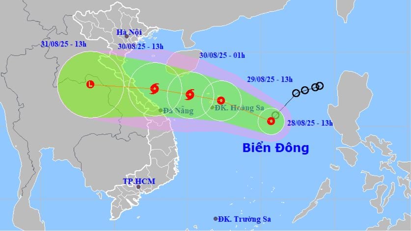
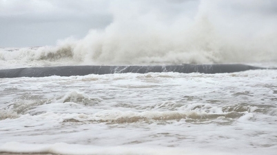
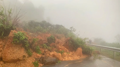
According to this agency, the tropical depression is likely to strengthen into a storm and head towards the North Central region. This is an adjustment compared to the information on the morning of August 28, when this agency assessed that the tropical depression was unlikely to strengthen into a storm.
At 1 p.m. on August 28, the center of the tropical depression was at about 15.3 degrees North latitude and 115.7 degrees East longitude, about 420 km East Southeast of the Paracel Islands. The strongest wind is currently at level 6-7, gusting to level 9, moving southwest at a speed of 10-15 km/h.
The National Center for Hydro-Meteorological Forecasting predicts that in the next 24 to 48 hours, the tropical depression will move in the West-Northwest direction, traveling 15-20km per hour and is likely to strengthen.
By tomorrow afternoon (August 29), the center of the tropical depression will be located right over the sea area around the Hoang Sa archipelago, with strong winds of level 7, gusting to level 9.
Notably, by dawn on August 30, the tropical depression will move towards the sea area northwest of the Hoang Sa archipelago and increase its wind speed to level 8 (level 8 and above is called a storm), gusting to level 10. By 1 p.m. on the same day, August 30, the storm center will be in the sea area from Nghe An to Da Nang , maintaining wind speed of level 8, gusting to level 10.
If it strengthens into a storm, this will be the sixth storm in the East Sea.
However, the National Center for Hydro-Meteorological Forecasting said that the storm will then weaken into a tropical depression. In the next 48 to 72 hours, the tropical depression will continue to move mainly westward at a speed of about 20km/h and tend to weaken gradually.
Source: https://www.sggp.org.vn/ap-thap-nhiet-doi-co-kha-nang-manh-len-thanh-bao-huong-vao-bac-mien-trung-post810625.html
![[Photo] Prime Minister Pham Minh Chinh chaired a meeting to evaluate the operation of the two-level local government model.](https://vphoto.vietnam.vn/thumb/1200x675/vietnam/resource/IMAGE/2025/10/29/1761751710674_dsc-7999-jpg.webp)

![[Photo] New-era Party members in the "Green Industrial Park"](https://vphoto.vietnam.vn/thumb/1200x675/vietnam/resource/IMAGE/2025/10/30/1761789456888_1-dsc-5556-jpg.webp)
![[Photo] Human love in the flood in Hue](https://vphoto.vietnam.vn/thumb/1200x675/vietnam/resource/IMAGE/2025/10/29/1761740905727_4125427122470875256-2-jpg.webp)
![[Photo] Hue: Inside the kitchen that donates thousands of meals a day to people in flooded areas](https://vphoto.vietnam.vn/thumb/1200x675/vietnam/resource/IMAGE/2025/10/29/1761738508516_bepcomhue-jpg.webp)


![[Photo] Fall Fair 2025 - An attractive experience](https://vphoto.vietnam.vn/thumb/1200x675/vietnam/resource/IMAGE/2025/10/30/1761791564603_1761738410688-jpg.webp)


Comment (0)